Why a vast, windswept desert thrives in the shadow of the Andes
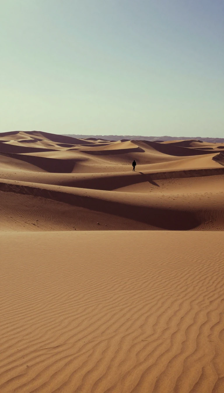
In short: Spanning 260,000 square miles, the Patagonian Desert is a rugged landscape of gravel plains and volcanic plateaus. While it sits near the Atlantic Ocean, it remains arid because the Andes mountains block moisture-laden winds from the Pacific, creating a massive rain shadow that defines this cold, windswept wilderness.
The Patagonian Desert is a complex mosaic of semiarid scrub, steppe, and desert that stretches from the Andes to the Atlantic coast. Its formation is fundamentally linked to the rise of the Andes, which act as a formidable barrier to the South Pacific westerly air currents. As these winds ascend the mountains, they cool and lose their humidity, reaching the Patagonian interior as dry, cold, and powerful gusts. This rain shadow effect is the primary driver of the region's aridity, despite its proximity to the ocean.
The landscape is defined by a series of terraces and plateaus, rising from coastal cliffs to elevations of 5,000 feet at the base of the Andes. These plateaus are composed of horizontal strata, including sedimentary rock and extensive lava flows from past volcanic activity. In the central regions, volcanic rocks cover over 120,000 square kilometres, particularly within the Somún Cura and Deseado massifs. This geological history also includes the fossilization of ancient forests; ash from volcanic eruptions once buried temperate woodlands, allowing mineral-saturated waters to petrify the trees.
Hydrology in the region is equally stark. While deep, wide valleys cut across the tablelands, most are remnants of former rivers. Today, only a few carry permanent streams of Andean origin, such as the Colorado, Negro, and Santa Cruz rivers. Many others contain intermittent streams or end in basins filled with salt flats. The ground itself is often covered in 'grava patagónica'—broad expanses of stream-rounded pebbles—which, combined with the constant, strong winds, creates a harsh environment where surface water is scarce and groundwater reservoirs in alluvial sands are vital for survival.
The climate is sharply divided into northern and southern zones. The north is semiarid, with annual rainfall between 3.5 and 17 inches, while the south experiences more extreme conditions. The region is a significant source of dust over the South Atlantic, a direct consequence of the persistent winds and the desert's dry, exposed surface. From its origins in the Middle Miocene to its current status as a cold winter desert, Patagonia remains a testament to how geological uplift and atmospheric currents can transform a landscape.
Opens the Intellect+ feed with this card first. Swipe up for the next one.
Sources
- Summary by Intellect · source: Patagonia | Map, History, Population, Animals, & Facts | Britannica
- Also: Patagonian Desert
To cite this card, link to https://intellectplus.co.uk/app/places-patagonian-desert.
How we source, check and correct cards: Editorial standards.
General information, not professional advice. Spotted an error? Flag the card or see corrections and complaints.
Intellect Plus is a visual educational discovery platform for exploring fascinating facts and ideas. Brain Food, Not Brain Rot. What is Intellect Plus?
Related
More in Vegetation features · More in Countries & Cities · Latest · A–Z · All topics
