A remote Micronesian coral atoll hides a massive, mostly submerged geological secret.
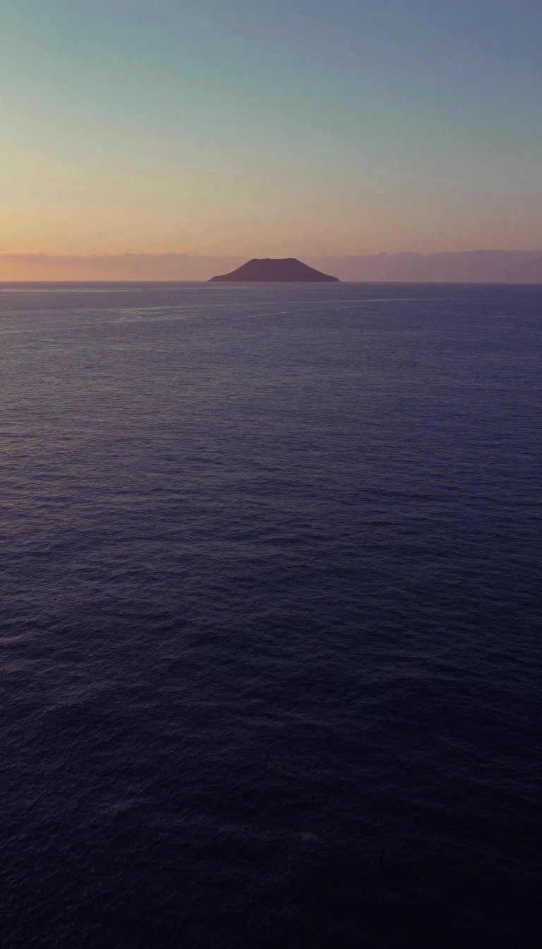
In short: Poluwat Atoll is a tiny, isolated municipality in the Federated States of Micronesia, known for its breadfruit trees and World War II history. Yet, beneath the surface, this small cluster of five islets is merely the tip of a much larger, 332-square-kilometer submerged structure that remains largely hidden from view.
Located in the western Pattiw region of Chuuk state, Poluwat Atoll covers a modest land area of 3.4 square kilometers. Its geography is defined by a small lagoon and five distinct islets resting on a reef rim. While the islands of Polowat and Alei support vegetation like coconut palms and breadfruit, the surrounding waters tell a more expansive story. When considering the nearby Uranie Bank, which stretches 26 kilometers southeast, the entire formation may represent a single, mostly submerged atoll structure spanning 332 square kilometers.
The atoll’s history is marked by both colonial discovery and the devastation of global conflict. Spanish naval officer Juan Antonio de Ibargoitia first documented the location in April 1801 while commanding the vessel Filipino. By the 20th century, the island became a strategic point for the Japanese military. During World War II, a garrison of over 3,000 men occupied the site. The occupation ended in tragedy; despite relocating two battalions to Truk to mitigate food shortages, hundreds of soldiers perished from starvation and disease. Today, the landscape remains scarred by this era, featuring abandoned defense bunkers and a 40-meter-tall white concrete lighthouse on Alei Island.
The remnants of the war are not confined to land. A downed American aircraft rests at the bottom of the lagoon, while a beached ship serves as a silent witness to past aerial attacks. The Japanese Lighthouse, a prominent structure on the northwest end of Alei, stands as a designated site on the U.S. National Register of Historic Places. These relics offer a stark contrast to the natural beauty of the coral reefs, such as the nearby Enderby Bank, which lies just 5 kilometers west-northwest of Alei. Together, these features define Poluwat as a place where ancient geological formations and modern history collide.
Opens the Intellect+ feed with this card first. Swipe up for the next one.
Sources
- Summary by Intellect · source: Poluwat
- Also: Wikidata — Poluwat · CC0
To cite this card, link to https://intellectplus.co.uk/app/places-poluwat.
How we source, check and correct cards: Editorial standards.
General information, not professional advice. Spotted an error? Flag the card or see corrections and complaints.
Intellect Plus is a visual educational discovery platform for exploring fascinating facts and ideas. Brain Food, Not Brain Rot. What is Intellect Plus?
Related
More in Islands · More in Countries & Cities · Latest · A–Z · All topics
