The Gilbert Islands: A Pacific Archipelago Shaped by Colonial History and Strategic Warfare
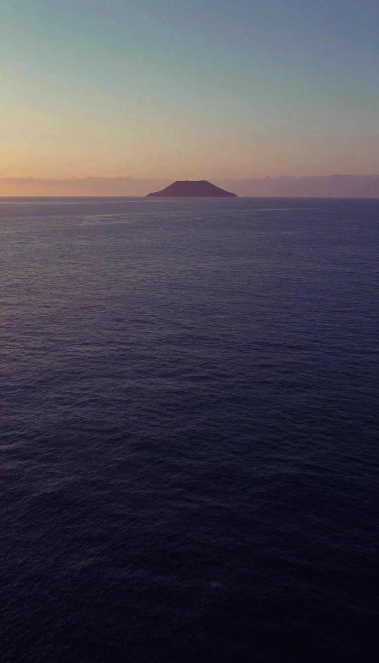
In short: Spanning the equator, the sixteen atolls of the Gilbert Islands have served as a crossroads for explorers, missionaries, and warring empires. Once known as the Kingsmill Group, this chain of islands became the site of intense World War II battles before emerging as the independent nation of Kiribati.
The Gilbert Islands comprise sixteen coral atolls and islands stretching across the Pacific. Geographically, they represent the easternmost reach of Micronesia, with the equator serving as a natural divider between the northern and southern groups. While the International Hydrographic Organization classifies the entire chain within the South Pacific, the islands exhibit distinct cultural and environmental variations. The northern atolls, such as Butaritari and Makin, benefit from higher rainfall and a higher water table, historically facilitating easier cultivation of crops like babai, or swamp taro, compared to their southern counterparts.
European interest in the archipelago intensified throughout the 19th century, following initial sightings by navigators like Pedro Fernandes de Queirós in 1606 and Captain Thomas Gilbert in 1788. By 1892, the British Empire established a protectorate over the islands, eventually formalizing them as a colony alongside the Ellice Islands in 1916. Colonial administration brought significant changes, including the introduction of European-style education, medical care, and Christian missionary work. By the outbreak of World War II, nearly 78% of the native population identified as Christian, marking a shift from their traditional belief systems.
The islands' strategic location made them a focal point during World War II. Following the Japanese invasion in 1941, the archipelago became a theater of brutal conflict. A 1942 U.S. Marine raid on Makin intended to serve as a diversion, but instead, it signaled the islands' strategic importance to Japanese forces, leading to increased fortification. The subsequent 1943 battles of Makin and Tarawa resulted in a decisive American victory, allowing the U.S. to establish bases for further operations. Following the war, the islands moved toward self-governance, eventually gaining independence as the state of Kiribati in 1979, while the Ellice Islands became the independent nation of Tuvalu.
Today, the legacy of the Gilbert Islands is defined by this complex intersection of indigenous heritage and colonial influence. The traditional social structures, such as the collective decision-making of the unimwane in the south, contrasted sharply with the centralized chiefdoms of the north. This history, captured in accounts like Arthur Grimble's A Pattern of Islands, reflects a resilient culture that navigated centuries of external pressure to define its own modern identity.
Opens the Intellect+ feed with this card first. Swipe up for the next one.
Sources
- Summary by Intellect · source: Gilbert Islands
- Also: Wikidata — Gilbert Islands · CC0
- Also: Wikidata — Gilbert Islands · CC0
To cite this card, link to https://intellectplus.co.uk/app/places-gilbert-islands.
How we source, check and correct cards: Editorial standards.
General information, not professional advice. Spotted an error? Flag the card or see corrections and complaints.
Intellect Plus is a visual educational discovery platform for exploring fascinating facts and ideas. Brain Food, Not Brain Rot. What is Intellect Plus?
Related
More in Islands · More in Countries & Cities · Latest · A–Z · All topics
