How the world's highest national park balances extreme wilderness with human life
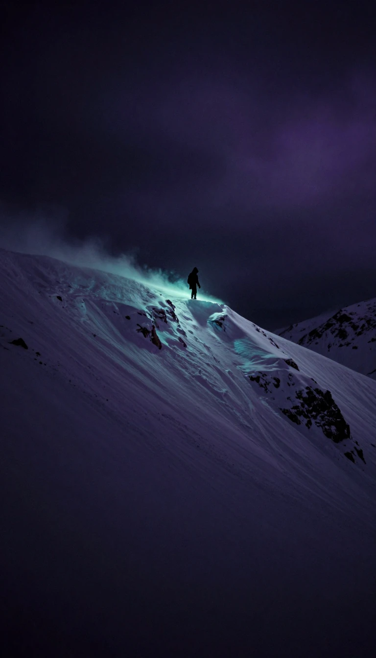
In short: Sagarmatha National Park is more than just the home of Mount Everest. Established in 1976, this Himalayan sanctuary spans from 2,845 to 8,848 meters in elevation. It is a complex ecosystem where rare leopards and high-altitude birds share space with Sherpa communities, all while managing the pressures of international tourism.
Located in eastern Nepal, Sagarmatha National Park is a landscape of extremes. It encompasses 1,148 square kilometers of rugged terrain, including the upper catchments of the Dudh Kosi and Bhotekoshi rivers. The park is defined by its verticality, ranging from the village of Monjo at 2,845 meters to the summit of Mount Everest at 8,848 meters. Beyond Everest, the park features several other peaks exceeding 6,000 meters, such as Lhotse, Cho Oyu, and Amadablam. This dramatic topography creates distinct climatic zones, shifting from temperate forests to the nival zone where vegetation gives way to rock and ice above 5,000 meters.
The park's biological diversity is as impressive as its geology. More than 1,000 floral species have been recorded, with forests of fir, birch, and rhododendron giving way to mosses and lichens at higher altitudes. The area is a critical habitat for wildlife, hosting 208 bird species, including the Impeyan pheasant and bearded vulture. Mammals are equally specialized; the snow leopard thrives above 3,500 meters, while the Indian leopard occupies lower forest zones. Recognizing its ecological significance, the park was designated as Nepal's first Natural World Heritage Site in 1979.
Human activity is deeply integrated into the park's management. Tourism began in the early 1960s, and by 2003, the park saw approximately 19,000 visitors. To mitigate the impact of this influx, a 275-square-kilometer buffer zone was added in 2002. This initiative prioritizes the conservation of forests, wildlife, and cultural heritage, alongside the development of alternative energy. As of 2005, about 3,500 Sherpa people resided within the park, maintaining a lifestyle tied to the seasonal settlements along the main tourist trails. This delicate balance between preserving a fragile high-altitude environment and supporting local communities remains a central challenge for the park's administration.
The park's land cover reflects its harsh conditions, with 69% of the area classified as barren land. Grazing land accounts for 28%, while only 3% of the park is forested. This distribution underscores the difficulty of sustaining life at such altitudes, where the alpine zone marks the upper limit for vegetation growth. The park continues to serve as a vital case study for the intersection of conservation, tourism, and indigenous land use in the world's most extreme environments.
Opens the Intellect+ feed with this card first. Swipe up for the next one.
Sources
- Summary by Intellect · source: Sagarmatha National Park
- Also: Wikidata — Sagarmatha National Park · CC0
- Also: Wikidata — Sagarmatha National Park and tourism : a study of the background, impacts and relationships of tourism development and park management responses in a World Heritage Site : a study of the background, impacts and relationships of tourism... · CC0
To cite this card, link to https://intellectplus.co.uk/app/places-sagarmatha-national-park.
How we source, check and correct cards: Editorial standards.
General information, not professional advice. Spotted an error? Flag the card or see corrections and complaints.
Intellect Plus is a visual educational discovery platform for exploring fascinating facts and ideas. Brain Food, Not Brain Rot. What is Intellect Plus?
Related
More in World Heritage Sites · More in Countries & Cities · Latest · A–Z · All topics
