A rare atmospheric titan: The early-season fury of Super Typhoon Sinlaku
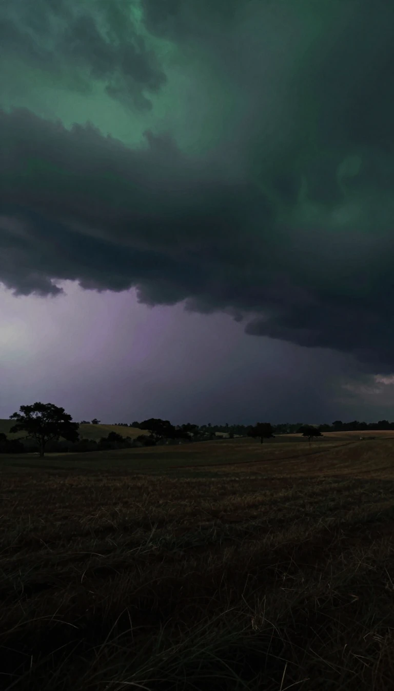
In short: Most Category 5 typhoons don't appear this early in the year. In April 2026, Super Typhoon Sinlaku defied seasonal norms, rapidly intensifying into a violent storm that reached peak speeds of 175 mph before striking the Northern Marianas.
Sinlaku originated from a broad area of disturbed weather and convective activity in the West Pacific Ocean. Its formation was driven by an anomalous cyclonic gyre north of the Equator, fueled by westerly winds associated with the Madden-Julian Oscillation (MJO). This large-scale tropical feature enhances thunderstorm activity, creating favorable conditions for cyclone development. By April 9th, a low-pressure center formed north of Chuuk, Micronesia, initially producing sustained winds of just 30 mph.
The storm underwent rapid intensification due to high sea surface temperatures (28 to 29 °C) and low vertical wind shear. It transitioned from a minimal typhoon to a super typhoon in less than 48 hours, reaching peak intensity on April 12th with winds of approximately 175 mph. During this phase, NASA's GPM Core Observatory captured the storm's internal structure: a symmetric eyewall surrounded by heavy rain bands and areas of frozen precipitation, including snow and graupel, high in the atmosphere.
A critical mechanism observed during Sinlaku’s peak was the 'eyewall replacement cycle.' This process occurs when a second outer eyewall forms, eventually choking off the original inner core. While this stabilizes the storm's structure, it typically lowers peak wind intensity while broadening the overall wind field. Despite this weakening trend, Sinlaku struck Saipan and Tinian as a Category 4 typhoon on April 14th, leaving 43,000 people without power and causing significant damage across the Mariana Islands.
Sinlaku stands out as one of only a handful of early-season Category 5 typhoons. Its progression from a minor disturbance to a violent storm provides a blueprint for how MJO-driven atmospheric features can catalyze extreme weather events in the Northwestern Pacific.
Opens the Intellect+ feed with this card first. Swipe up for the next one.
Sources
- Summary by Intellect · source: NASA Scientific Visualization Studio | Powerful Typhoon Sinlaku strikes the Northern Marianas
- Also: Super Typhoon Sinlaku - NASA Science
- Also: Typhoon Sinlaku (2026)
To cite this card, link to https://intellectplus.co.uk/app/places-typhoon-sinlaku-2026.
How we source, check and correct cards: Editorial standards.
General information, not professional advice. Spotted an error? Flag the card or see corrections and complaints.
Intellect Plus is a visual educational discovery platform for exploring fascinating facts and ideas. Brain Food, Not Brain Rot. What is Intellect Plus?
Related
More in Countries and other regions · More in Countries & Cities · Latest · A–Z · All topics
