What defines the strategic landscape of Sudan's White Nile State in the modern era?
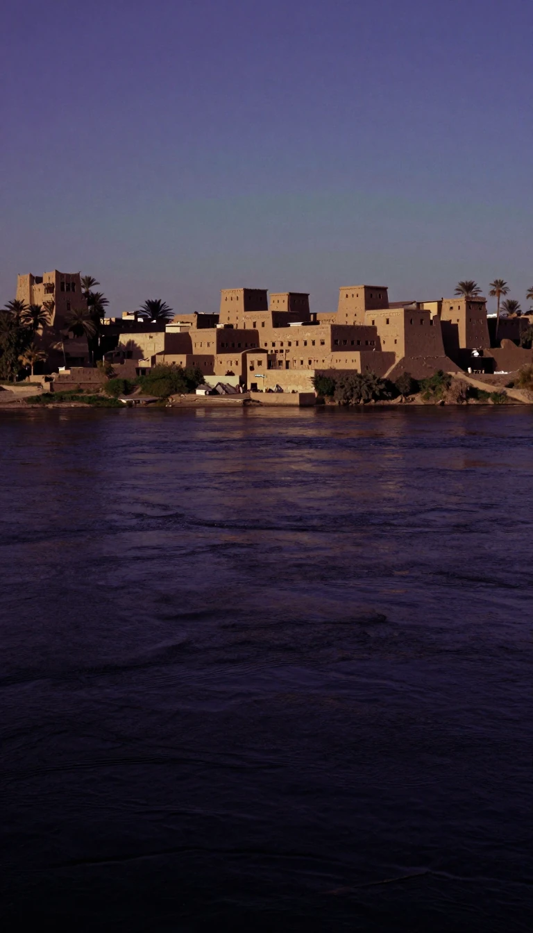
In short: Spanning nearly 40,000 square kilometers, White Nile State serves as a critical administrative division within Sudan. While its geography connects it to major regions like Khartoum and the border with South Sudan, recent military developments have thrust this territory into the center of the nation's ongoing civil conflict.
White Nile State is one of the eighteen distinct wilayat that constitute the nation of Sudan. Covering a total land area of 39,701 square kilometers, the region occupies a vital position in the country's interior. Its borders are defined by proximity to several key areas: it sits south of Khartoum, shares eastern boundaries with Gezira and Sennar, touches South Sudan to the south, and is flanked by Kordofan to the west. This location makes it a significant crossroads for regional movement and administrative governance.
The state's internal structure is organized into four separate districts, facilitating local management across its vast territory. Since 1994, the city of Rabak has functioned as the official capital, serving as the primary hub for the state's operations. Beyond the capital, other urban centers such as Kosti and Ed Dueim play essential roles in the state's economic and social fabric, housing a population that was estimated at approximately 2,493,880 people as of 2018.
The region has recently become a focal point in the Sudanese civil war. On 21 May 2025, the Sudanese Armed Forces issued a statement claiming they had successfully cleared the state of the Rapid Support Forces. This development highlights the volatile nature of the territory, as control over such regions remains a central objective for the competing factions involved in the broader conflict. Understanding the state requires looking past its administrative borders to see how its geography and urban centers influence the shifting dynamics of the ongoing national struggle.
Opens the Intellect+ feed with this card first. Swipe up for the next one.
Sources
- Summary by Intellect · source: White Nile State
To cite this card, link to https://intellectplus.co.uk/app/places-white-nile-state.
How we source, check and correct cards: Editorial standards.
General information, not professional advice. Spotted an error? Flag the card or see corrections and complaints.
Intellect Plus is a visual educational discovery platform for exploring fascinating facts and ideas. Brain Food, Not Brain Rot. What is Intellect Plus?
Related
More in Regions and country subdivisions · More in Countries & Cities · Latest · A–Z · All topics
