The town that survived the collapse of Roman roads
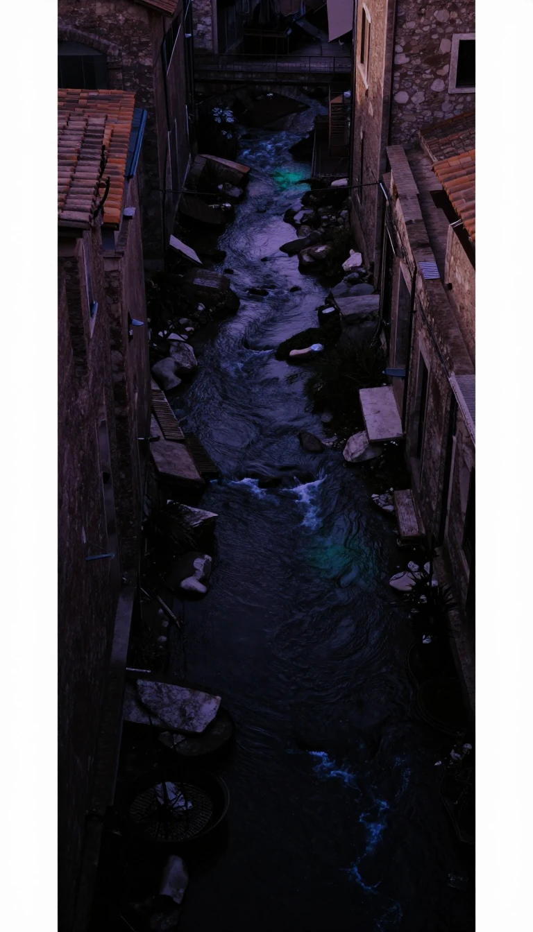
In short: While nearby towns flourished by opening navigable waterways, Dorking endured a period of economic decline because its geography remained stubbornly inaccessible. It is a masterclass in how infrastructure—or the lack thereof—can dictate the fate of a settlement for centuries, preserving its medieval layout even as the world modernized.
Dorking's geographical position at the intersection of the Mole Gap and the Vale of Holmesdale created a unique developmental trajectory. While neighboring Guildford thrived in the 1650s due to the construction of the Wey Navigation, Dorking saw no such maritime investment. Despite several proposals to make the River Mole navigable, none were ever enacted. This lack of water-based trade caused the local economy to suffer significantly during the late 17th and early 18th centuries, leading to a period of stagnation compared to its neighbors.
The town's physical layout has remained remarkably consistent since the medieval period. The core streets—High Street, West Street, and South Street—meet at a 'Y' shape at Pump Corner, a plan that may date back to the Anglo-Saxon era. This stability is contrasted by the town's geological complexity. Dorking sits on the Lower Greensand Group, a multilayered deposit from the early Cretaceous period. Various layers are present here, such as the ferruginous Hythe Beds, the loamy Sandgate Beds, and the Folkestone Beds with high quartz, which house rose-coloured ferruginous sand and silver sand veins.
Modern connectivity only arrived through overland improvements. The Sussex and Surrey Roads Act of 1755 authorized a turnpike that finally boosted the grain market and flour mills by 1765. However, the railway era brought further complexity; the Reading, Guildford and Reigate Railway opened Dorking West in 1849, but a resident preference for a central station at Meadowbank was rejected due to the impracticality of building freight facilities within a deep cutting. Today, the town's expansion is strictly governed by the Metropolitan Green Belt, preserving its historical character against modern sprawl.
Archaeologically, the town reveals a deep human timeline. Excavations in 2013 uncovered charred hazelnut shells dated to 8625–8465 BCE, alongside ceramic urns and a ring ditch. While the name 'Dorking' suggests an Anglo-Saxon origin, the town also hosted a Roman presence, evidenced by coins from the reigns of Hadrian, Commodus, and Claudius Gothicus, and a possible staging post on the ancient Stane Street.
Opens the Intellect+ feed with this card first. Swipe up for the next one.
Sources
- Summary by Intellect · source: Dorking
To cite this card, link to https://intellectplus.co.uk/app/science-dorking.
How we source, check and correct cards: Editorial standards.
General information, not professional advice. Spotted an error? Flag the card or see corrections and complaints.
Intellect Plus is a visual educational discovery platform for exploring fascinating facts and ideas. Brain Food, Not Brain Rot. What is Intellect Plus?
Related
More in Mathematicians · More in Science · Latest · A–Z · All topics
