Big Diomede Island is a Russian military outpost where tomorrow arrives nearly every day.
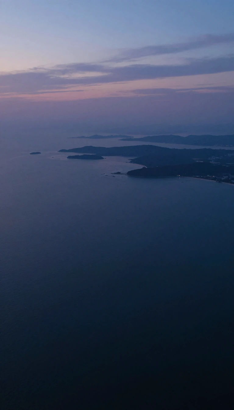
In short: Separated from Alaska by just four kilometers of water, Big Diomede Island sits on the wrong side of the International Date Line. This rocky outpost, once home to Iñupiat residents, now serves as a strategic Russian military base and weather station, famously dubbed Tomorrow Island for its unique time zone position.
Big Diomede Island, also known as Ratmanov Island, is a 29-square-kilometer tuya-type formation located in the Bering Strait. While it sits in the western hemisphere by longitude, it is positioned west of the International Date Line, placing it nearly a full day ahead of its American neighbor, Little Diomede Island. This proximity—only 1.3 kilometers from the date line—creates a strange temporal divide where the two islands, separated by a mere four-kilometer-wide strait, exist in different calendar days.
The island’s history is marked by significant geopolitical shifts. Originally inhabited by Iñupiat people, the population was forcibly relocated to the mainland after World War II to prevent cross-border contact. Today, the island is uninhabited by civilians, hosting only a Russian weather station and a Border Service base of the Federal Security Service. The border between the United States and Russia, established during the 1867 Alaska Purchase, solidified the divide that would later be termed the Ice Curtain during the Cold War.
Despite its status as a restricted military zone, the island has seen rare moments of international connection. In 1987, American swimmer Lynne Cox famously swam from Little Diomede to Big Diomede, an act of courage later celebrated by Mikhail Gorbachev and Ronald Reagan during the signing of the INF Missile Treaty. Beyond its human history, the island remains a vital ecological site, designated an Important Bird Area for its colonies of puffins and auklets, while the surrounding waters host walruses and whales.
The island’s geography has been documented by explorers for centuries, starting with Semyon Dezhnyov in 1648 and Vitus Bering in 1728. In 1732, Mikhail Gvozdev mapped the terrain, which reaches a peak of 505 meters at Krysha. The landscape remains rugged, evidenced by the wreckage of a 1971 Soviet Lisunov Li-2 aircraft that still rests in the center of the island, a silent reminder of the site's long-standing role in regional border operations.
Opens the Intellect+ feed with this card first. Swipe up for the next one.
Sources
- Summary by Intellect · source: Big Diomede Island
- Also: www.britannica.com — Diomede Islands | Bering Strait, Russia, & Alaska | Britannica
To cite this card, link to https://intellectplus.co.uk/app/technology-big-diomede-island.
How we source, check and correct cards: Editorial standards.
General information, not professional advice. Spotted an error? Flag the card or see corrections and complaints.
Intellect Plus is a visual educational discovery platform for exploring fascinating facts and ideas. Brain Food, Not Brain Rot. What is Intellect Plus?
