How ancient navigators mapped the Pacific using nothing but ocean swells and intuition
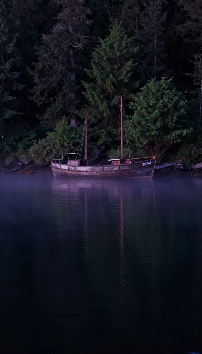
In short: Long before modern GPS, Marshallese sailors mastered the open ocean by reading the interference patterns of waves. They developed sophisticated stick charts to teach these complex swell dynamics, allowing them to navigate vast distances between low-lying coral atolls that remained invisible until they were nearly upon them.
The Marshall Islands, a collection of over 1,200 islands and islets, were settled by Austronesian voyagers. While early radiocarbon estimates for Bikini Atoll suggested habitation as far back as 1200 BCE, the archaeological community largely rejects these dates due to the 'old wood effect,' where ancient driftwood likely skewed the results. More reliable evidence from Majuro and Kwajalein indicates human presence by the 1st century CE, with earth ovens dating between 140 BCE and 255 CE.
These early settlers were master mariners who navigated the Pacific using proas constructed from breadfruit wood and coconut-fiber rope. Their technique relied on reading disruptions in ocean swells caused by the undersea slopes of atolls. By observing how swells from cardinal directions refracted and met, pilots could detect the presence of land even when it was below the horizon. They often sailed between July and October, when trade winds made these swell patterns more readable. To teach these skills, they created stick charts—instructional tools representing swell and island positions—though navigators relied on their own memory and physical sensation of the boat's motion while at sea.
By the time European contact began, the society was highly structured under the authority of iroij (chieftains). Spanish explorer Alonso de Salazar first sighted the islands in 1526, but it was not until the 19th century that Western influence became more pronounced. Russian explorer Otto von Kotzebue, visiting in 1817, observed a culture defined by distinct social hierarchies, where paramount chiefs known as iroijlaplap governed the Ratak and Ralik chains. The Marshallese practiced population management through infanticide to mitigate the risks of frequent famines, and their daily life was deeply adapted to the specific ecological constraints of their coral atoll environment.
The islands' history took a modern turn in the 20th century when they were administered by the United States as part of the Trust Territory of the Pacific Islands from 1947 until 1986. Today, the Republic of the Marshall Islands maintains a relationship with the United States through the Compact of Free Association, first signed in 1982 and later renewed in 2003, which remains a primary pillar of the nation's economic framework.
Opens the Intellect+ feed with this card first. Swipe up for the next one.
Sources
- Summary by Intellect · source: History of the Marshall Islands | People, Culture, Language, Map, & Facts | Britannica
- Also: History of the Marshall Islands
To cite this card, link to https://intellectplus.co.uk/app/history-history-of-the-marshall-islands.
How we source, check and correct cards: Editorial standards.
General information, not professional advice. Spotted an error? Flag the card or see corrections and complaints.
Intellect Plus is a visual educational discovery platform for exploring fascinating facts and ideas. Brain Food, Not Brain Rot. What is Intellect Plus?
Related
More in History by country, small region and city · More in History · Latest · A–Z · All topics
