The Negev is not a true desert, but a landscape shaped by ancient water
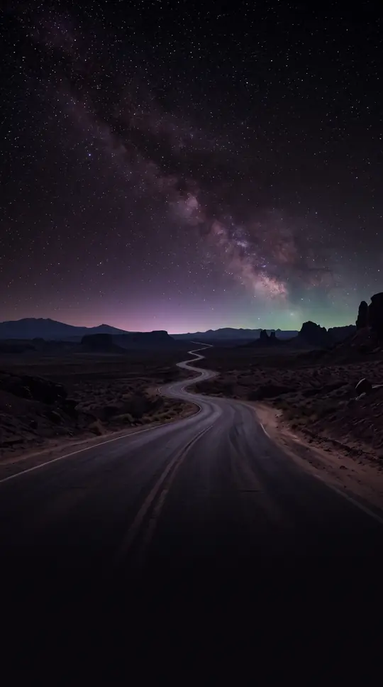
In short: Often dismissed as a barren wasteland, the Negev is a complex, triangular region that defies simple categorization. While its name implies dryness, it is a semiarid expanse where ancient engineering and modern technology have transformed rocky, cratered terrain into a productive granary, challenging our understanding of what constitutes a desert.
Covering nearly half of the Palestine region and about 60 percent of Israeli territory, the Negev is defined by its unique geological character. It is dominated by northeast–southwest folds and faults, most notably the makhteshim—large, elongate erosion craters created by horizontal stresses and the erosion of upward-folded strata. The largest of these, Makhtesh Ramon, stretches 23 miles in length. These craters are significant because their floors expose chalks, marls, and gypsums that are geologically much older than the surrounding plateaus.
The region’s climate is highly variable, with rainfall decreasing significantly from north to south. In the Beersheba area, annual precipitation can reach up to 12 inches, which historically allowed for unirrigated grain farming. Conversely, the southern tip at Elat experiences negligible rainfall. This semiarid nature has been documented since biblical times, yet the region has long supported human ingenuity. The Nabataeans, a Semitic people, famously developed advanced terracing and water-conservation techniques that turned the area into a thriving agricultural hub and a vital granary for the Roman Empire.
Following the Arab conquest in the 7th century, the region remained largely desolate for over 1,200 years, supporting only a small nomadic Bedouin population. Modern development began in earnest with the founding of the first three kibbutzim in 1943. Today, the National Water Plan utilizes extensive pipelines to irrigate the fertile loess soils of the northwestern Negev. This infrastructure, combined with year-round sunlight, enables intensive agriculture, including double-cropping. Beyond farming, the region is a hub for mineral extraction, with potash, bromine, and magnesium harvested at Sedom, and copper mined at Timna, alongside the growth of planned urban centers like ʿArad and Dimona.
Opens the Intellect+ feed with this card first. Swipe up for the next one.
Sources
- Summary by Intellect · source: Negev | Meaning, Map, Bible & History | Britannica
- Also: Negev
To cite this card, link to https://intellectplus.co.uk/app/nature-negev.
How we source, check and correct cards: Editorial standards.
General information, not professional advice. Spotted an error? Flag the card or see corrections and complaints.
Intellect Plus is a visual educational discovery platform for exploring fascinating facts and ideas. Brain Food, Not Brain Rot. What is Intellect Plus?
Related
More in Physical geography · More in Nature · Latest · A–Z · All topics
