The ocean is not flat: mapping the hidden hills and valleys of our seas
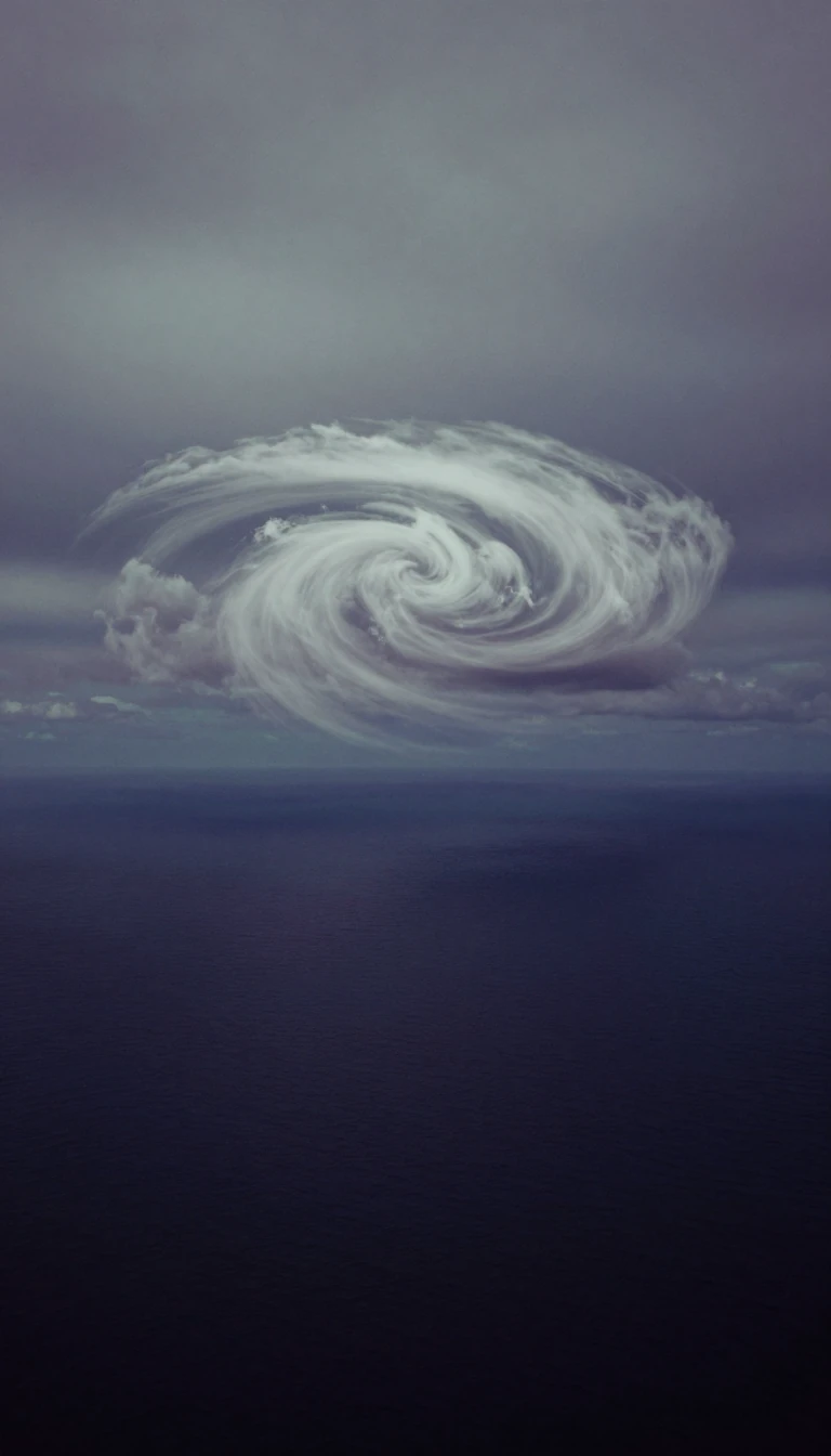
In short: While the ocean looks level from the shore, it is actually a complex landscape of peaks and troughs. These variations in sea surface height, caused by tides, currents, and gravity, reveal how the ocean moves heat and mass around the planet, acting as a critical pulse for Earth's climate.
Ocean surface topography refers to the height of the sea surface relative to the geoid, which is a theoretical surface where Earth's gravity is uniform. Although the ocean appears flat to the human eye, it is constantly shaped by atmospheric pressure, winds, tides, and currents. These forces create dynamic hills and valleys that can deviate from the mean sea level by nearly a meter. By mapping these features, scientists can track how the ocean circulates and redistributes heat, which is essential for understanding global climate patterns and predicting events like El Niño.
To measure these subtle undulations, researchers rely on satellite altimetry. A satellite orbits the Earth and bounces microwave pulses off the water's surface, timing the return signal to calculate the precise distance. By combining this measurement with detailed models of the satellite's orbit and the Earth's gravitational field, scientists can isolate the height of the ocean surface itself. Missions like TOPEX/Poseidon, which began in 1992, and more recent projects like the Surface Water and Ocean Topography (SWOT) mission, have revolutionized our ability to monitor these changes with centimeter-level precision.
The data gathered from these missions is far more than a map of water levels. It allows researchers to observe how ocean currents rotate around topographic features—clockwise around hills in the northern hemisphere and counterclockwise around valleys—due to the Coriolis effect. Furthermore, by integrating this information with in-situ measurements from ships and buoys, as well as gravity data from missions like GRACE, scientists can monitor long-term sea level rise and the impact of climate change on ocean health. This continuous observation provides the foundation for everything from weather forecasting and fisheries management to safe navigation and offshore operations.
Opens the Intellect+ feed with this card first. Swipe up for the next one.
Sources
- Summary by Intellect · source: Sea Surface Topography | NASA Earthdata
- Also: Ocean surface topography
- Also: What is Ocean Surface Topography and How it is Measured? Satellite Altimetry Data | PO.DAAC / JPL / NASA
To cite this card, link to https://intellectplus.co.uk/app/nature-ocean-surface-topography.
How we source, check and correct cards: Editorial standards.
General information, not professional advice. Spotted an error? Flag the card or see corrections and complaints.
Intellect Plus is a visual educational discovery platform for exploring fascinating facts and ideas. Brain Food, Not Brain Rot. What is Intellect Plus?
Related
More in Water · More in Nature · Latest · A–Z · All topics
