Why the six-inch layer of soil beneath our feet is our greatest natural asset
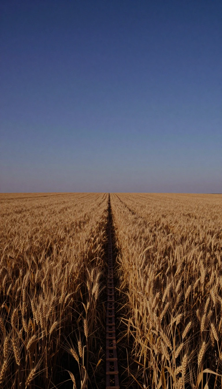
In short: We owe our existence to a thin layer of topsoil and the rain. Now, England and Wales have opened their most comprehensive soil data to the public. This shift promises to transform how we manage food systems, carbon storage, and flood risks by finally putting high-quality evidence into everyone's hands.
Soil classification is the systematic categorization of earth based on its physical, chemical, and structural properties. Whether viewed as a material for engineering or a vital resource for agriculture, these systems allow scientists and planners to predict how land will behave. Natural systems, like the USDA soil taxonomy, group soils by their intrinsic morphology and genesis, while technical systems classify them by their fitness for specific uses, such as construction or farming.
In England and Wales, the Land Information System (LandIS) has become the definitive source for this data. Operated by Cranfield University, it contains information from over 30,000 soil samples and 250,000 observations. By opening this data, the government aims to improve decision-making across sectors like climate science and hydrology. The system includes detailed tools like NATMAP, which maps over 300 soil associations, and the National Soil Inventory, which tracks soil chemistry and erosion.
A key application of this data is the Agricultural Land Classification (ALC) system, which grades farmland from Grade 1, representing excellent quality, to Grade 5, which is poor. The new Predictive ALC map, updated in 2025, helps protect the best and most versatile land from development. While this map is a major step forward for strategic planning, it remains indicative rather than absolute. It does not replace the need for field-based surveys, but it provides a necessary framework to target research more effectively.
Ultimately, soil is a complex, living ecosystem that manages our water and stores vast amounts of carbon. With 95% of our food dependent on it, the move to make these datasets restriction-free is a milestone for environmental management. By integrating high-quality data into policy, we can better address the environmental challenges of the future, ensuring that our most fundamental natural asset is managed with the precision it requires.
Opens the Intellect+ feed with this card first. Swipe up for the next one.
Sources
- Summary by Intellect · source: Unlocking the National Soil Map: free and unrestricted access to England and Wales’s most comprehensive soil data – Environment
- Also: Soil classification
To cite this card, link to https://intellectplus.co.uk/app/nature-soil-classification.
How we source, check and correct cards: Editorial standards.
General information, not professional advice. Spotted an error? Flag the card or see corrections and complaints.
Intellect Plus is a visual educational discovery platform for exploring fascinating facts and ideas. Brain Food, Not Brain Rot. What is Intellect Plus?
Related
More in Geology · More in Nature · Latest · A–Z · All topics
