Arica y Parinacota: A high-altitude desert region defined by silver, borders, and ancient traditions.
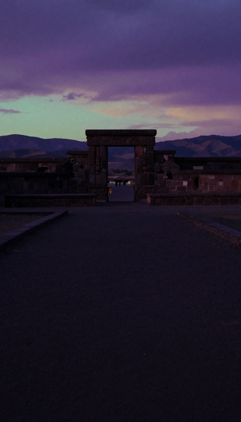
In short: Chile's northernmost region is a landscape of extremes, where active volcanoes rise above 6,000 meters and coastal fogs blanket the desert. Once a vital port for Potosí silver, this territory has been shaped by centuries of shifting borders, indigenous heritage, and a unique, complex demographic history.
The region’s identity is deeply rooted in its history as a gateway for wealth. Following the 1545 discovery of massive silver deposits in Potosí, Arica became the primary port for exporting this precious metal. This economic importance earned the settlement royal recognition and city status, eventually becoming a hub within the Viceroyalty of Peru. However, the region’s borders remained fluid for centuries. After the War of the Pacific, the 1883 Treaty of Ancón and the 1929 Treaty of Lima transitioned the area from Peruvian to Chilean control, triggering a period of forced cultural assimilation known as Chilenization.
Geography dictates life here, with five distinct longitudinal zones ranging from the Pacific coast to the Andean Altiplano. The coastal climate is mild, but moving inland reveals an absolute desert characterized by extreme dryness and sharp thermal swings. At higher altitudes, the environment becomes even more volatile; temperatures can plummet from 35 °C during the day to –20 °C at night. This high-altitude terrain supports unique biodiversity, including vicuñas and flamingos, but also presents challenges like altitude sickness for those unaccustomed to the thin air.
Today, the region is a cultural mosaic. It holds the largest Aymara population in Chile, alongside significant communities of Afro-Chilean, Asian, and Middle Eastern descent. Religious life is similarly diverse, with Roman Catholicism remaining the dominant faith, though a notable portion of the population reports no religious affiliation. The region’s modern boundaries were only finalized in 2007, following a long legislative process and a maritime border dispute with Peru that was eventually settled by the International Court of Justice in 2014, resulting in a redefined maritime boundary.
The region remains a place of demographic and social interest. With 244,569 inhabitants, it maintains a unique gender distribution and a population density of 14.49 people per square kilometer. From the salt flats and wetlands of the Altiplano to the urban centers of Arica and Putre, the region continues to balance its colonial legacy with its status as a modern Chilean administrative division.
Opens the Intellect+ feed with this card first. Swipe up for the next one.
Sources
- Summary by Intellect · source: Arica y Parinacota Region
- Also: Wikidata — Arica y Parinacota Region · CC0
To cite this card, link to https://intellectplus.co.uk/app/places-arica-y-parinacota-region.
How we source, check and correct cards: Editorial standards.
General information, not professional advice. Spotted an error? Flag the card or see corrections and complaints.
Intellect Plus is a visual educational discovery platform for exploring fascinating facts and ideas. Brain Food, Not Brain Rot. What is Intellect Plus?
Related
More in Regions and country subdivisions · More in Countries & Cities · Latest · A–Z · All topics
