How a nineteenth-century street grid created Brooklyn's most oddly shaped residential neighborhood
In short: Prospect Heights is a neighborhood defined by its history and its geometry. While its brownstones and cultural institutions are famous, its unusual street layout stems from a collision between ancient Lenape paths and Dutch farm boundaries, later reshaped by the rigid Commissioners' Plan of 1839 to align with the rest of Brooklyn.
The neighborhood's physical form is a legacy of its past. The original street network was not planned for uniformity but followed the natural contours of Lenape trails and the borders of colonial Dutch farms. When the Commissioners' Plan of 1839 was implemented to standardize the city's layout, these irregular paths were forced into a new grid. This mismatch resulted in the neighborhood's distinctive, oddly angled buildings that disrupt the typical city block structure. Today, this history is preserved within the Prospect Heights Historic District, which was designated by the Landmarks Preservation Commission in 2009 and is recognized as the fifth largest in New York City.
Beyond its architecture, the area serves as a cultural anchor for Brooklyn. Its southern edge, bordering Eastern Parkway, functions as a civic corridor featuring the Brooklyn Museum, the Brooklyn Botanic Garden, and the Brooklyn Central Library. This concentration of institutions mirrors the prestige of Manhattan's Museum Mile. The neighborhood's identity has remained fluid; in the late 1880s, the name 'Prospect Heights' was merely one of several competing labels for the area, which was also known as 'Gowanus Heights' alongside neighboring districts.
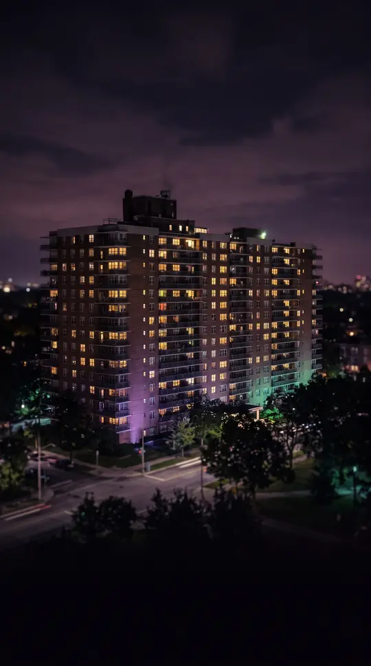
The early 21st century brought significant demographic and structural shifts. The development of the Pacific Park project, including the Barclays Center, introduced high-rise architecture that contrasts sharply with the neighborhood's traditional low-rise brownstones. While the area has seen an influx of new residents and a surge in commercial activity along Vanderbilt and Washington Avenues, it remains part of a broader community district that faces ongoing challenges. As of 2018, data indicated that Community District 8 experienced higher rates of rent burden and specific health disparities compared to citywide averages, highlighting the complex reality of a neighborhood undergoing rapid gentrification.
Opens the Intellect+ feed with this card first. Swipe up for the next one.
Sources
- Summary by Intellect · source: Prospect Heights, Brooklyn
- Also: Wikidata — Prospect Heights · CC0
To cite this card, link to https://intellectplus.co.uk/app/places-prospect-heights-brooklyn.
How we source, check and correct cards: Editorial standards.
General information, not professional advice. Spotted an error? Flag the card or see corrections and complaints.
Intellect Plus is a visual educational discovery platform for exploring fascinating facts and ideas. Brain Food, Not Brain Rot. What is Intellect Plus?
Related
More in Bodies of water · More in Countries & Cities · Latest · A–Z · All topics
