The only natural waterfall on the Mississippi River was once a disappearing act.
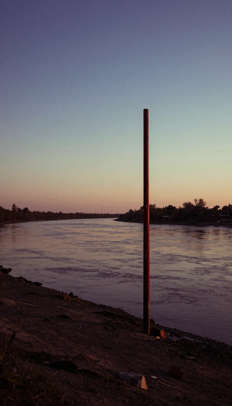
In short: Saint Anthony Falls was a geological nomad, receding four feet annually until industrial intervention halted its migration. Once a sacred site for the Dakota, the falls became the engine of the world's flour milling capital, nearly destroying itself in the process through reckless tunneling and the relentless erosion of its limestone cap.
Formed roughly 12,000 years ago near present-day Fort Snelling, the falls began as a 180-foot cataract. Over millennia, the churning water eroded the soft St. Peter Sandstone, causing the hard Platteville limestone cap to collapse in chunks. This process forced the falls to migrate upstream at a rate of about four feet per year. By the time Father Louis Hennepin documented the site in 1680, the falls had moved significantly, and they would eventually reach their current location in the early 19th century.
The falls' industrial transformation began in the mid-1800s as entrepreneurs sought to harness its power. By 1880, Minneapolis had become the flour milling capital of the world, a title it held until 1930. However, the aggressive diversion of water for sawmills and flour production, combined with the weakening of the limestone foundation by industrial shafts, accelerated erosion to 26 feet per year between 1857 and 1868. The 1869 Eastman tunnel disaster, where a tailrace tunnel breached the limestone cap, nearly turned the falls into a useless set of rapids.
To save the site, the U.S. Army Corps of Engineers constructed a massive concrete dike and a protective timber apron, later replaced by concrete in the 1950s. These efforts, costing over $900,000 in the 19th century, stabilized the falls but fundamentally altered their natural character. Today, the falls are defined by a series of locks and dams, including the Upper Lock, which features a 49-foot lift—the highest on the Mississippi. While the site remains a historic district, the geological reality persists: the limestone cap is thinning, and the falls will eventually transition into sandstone rapids.
Beyond industry, the falls hold deep cultural significance for the Mdewakanton Dakota, who viewed the site as sacred and associated it with spirits like Oanktehi. The area served as a vital portage point for native tribes long before European arrival. Today, the legacy of this intersection between indigenous history, industrial ambition, and geological instability is preserved through walking trails and the St. Anthony Falls Historic District, established in 1971.
Opens the Intellect+ feed with this card first. Swipe up for the next one.
Sources
- Summary by Intellect · source: Saint Anthony Falls
- Also: Wikidata — Saint Anthony Falls · CC0
- Also: Wikidata — I-35W Saint Anthony Falls Bridge · CC0
To cite this card, link to https://intellectplus.co.uk/app/places-saint-anthony-falls.
How we source, check and correct cards: Editorial standards.
General information, not professional advice. Spotted an error? Flag the card or see corrections and complaints.
Intellect Plus is a visual educational discovery platform for exploring fascinating facts and ideas. Brain Food, Not Brain Rot. What is Intellect Plus?
Related
More in Other hydrological features · More in Countries & Cities · Latest · A–Z · All topics
