The Saint John River is a 673-kilometre waterway that defines a complex borderland history.
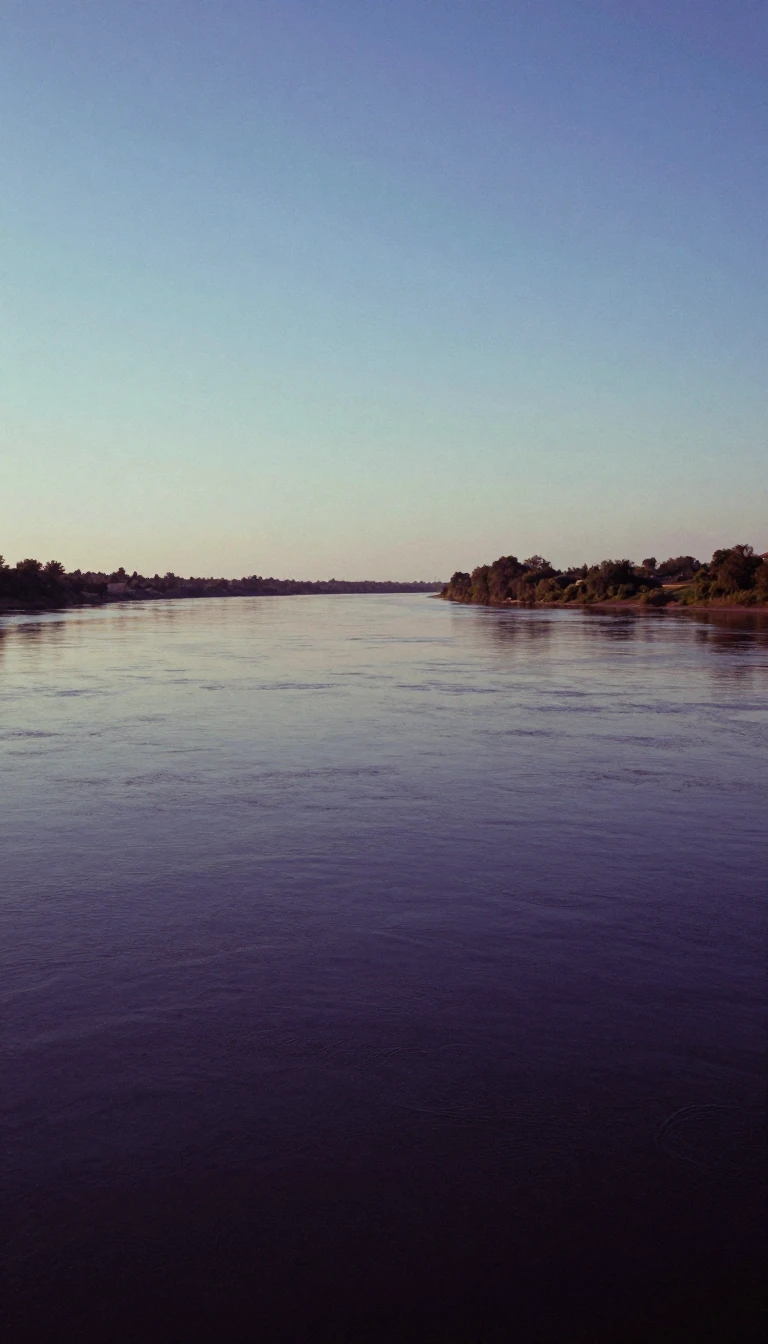
In short: Flowing from the mountains of Quebec and Maine to the Bay of Fundy, the Saint John River is the longest in eastern Canada. It serves as a vital ecological corridor and a historic homeland for the Wolastoqiyik, whose traditional name for the river, Wolastoq, reflects its long-standing cultural and environmental significance.
The Saint John River basin spans 55,000 square kilometres, acting as a natural boundary between Canada and the United States. Following the Aroostook War, the Webster–Ashburton Treaty established a border along 130 kilometres of the river. This region, characterized by fertile glacial soils and a unique microclimate, hosts the Saint John River Valley Hardwood Forest, a rare ecosystem now reduced to less than one percent of its original range due to human expansion.
The river's hydrology is defined by extreme seasonal shifts. While the average discharge is 1,100 cubic metres per second, the spring freshet can surge to 6,800 cubic metres per second. This dramatic increase, often compounded by ice jams and high tides, has caused significant flooding for over 300 years. The Reversing Falls at the river's mouth creates a unique tidal phenomenon where incoming seawater forces the river current to flow backward, a result of the narrow gorge and the fjord-like nature of the Kennebecasis tributary.
Historically, the river was the heart of the Wolastoqiyik territory. Despite the devastating impact of European diseases in the early 17th century, the Wolastoqiyik maintained strong alliances with Acadian settlers, together resisting British sovereignty for decades. Today, the watershed is recognized as the Wolastoq National Historic Site. While hydroelectric dams built between 1925 and 1965 have altered the river's flow and impacted migratory fish populations, the upper reaches in the Maine North Woods remain a sparsely populated wilderness, supporting rare plant species that thrive on the river's unique, ice-scoured bedrock.
Opens the Intellect+ feed with this card first. Swipe up for the next one.
Sources
- Summary by Intellect · source: Saint John River (Bay of Fundy)
To cite this card, link to https://intellectplus.co.uk/app/places-saint-john-river-bay-of-fundy.
How we source, check and correct cards: Editorial standards.
General information, not professional advice. Spotted an error? Flag the card or see corrections and complaints.
Intellect Plus is a visual educational discovery platform for exploring fascinating facts and ideas. Brain Food, Not Brain Rot. What is Intellect Plus?
Related
More in Bodies of water · More in Countries & Cities · Latest · A–Z · All topics
