The Saguenay River is a deep, industrial fjord hiding a surprising ecological recovery story
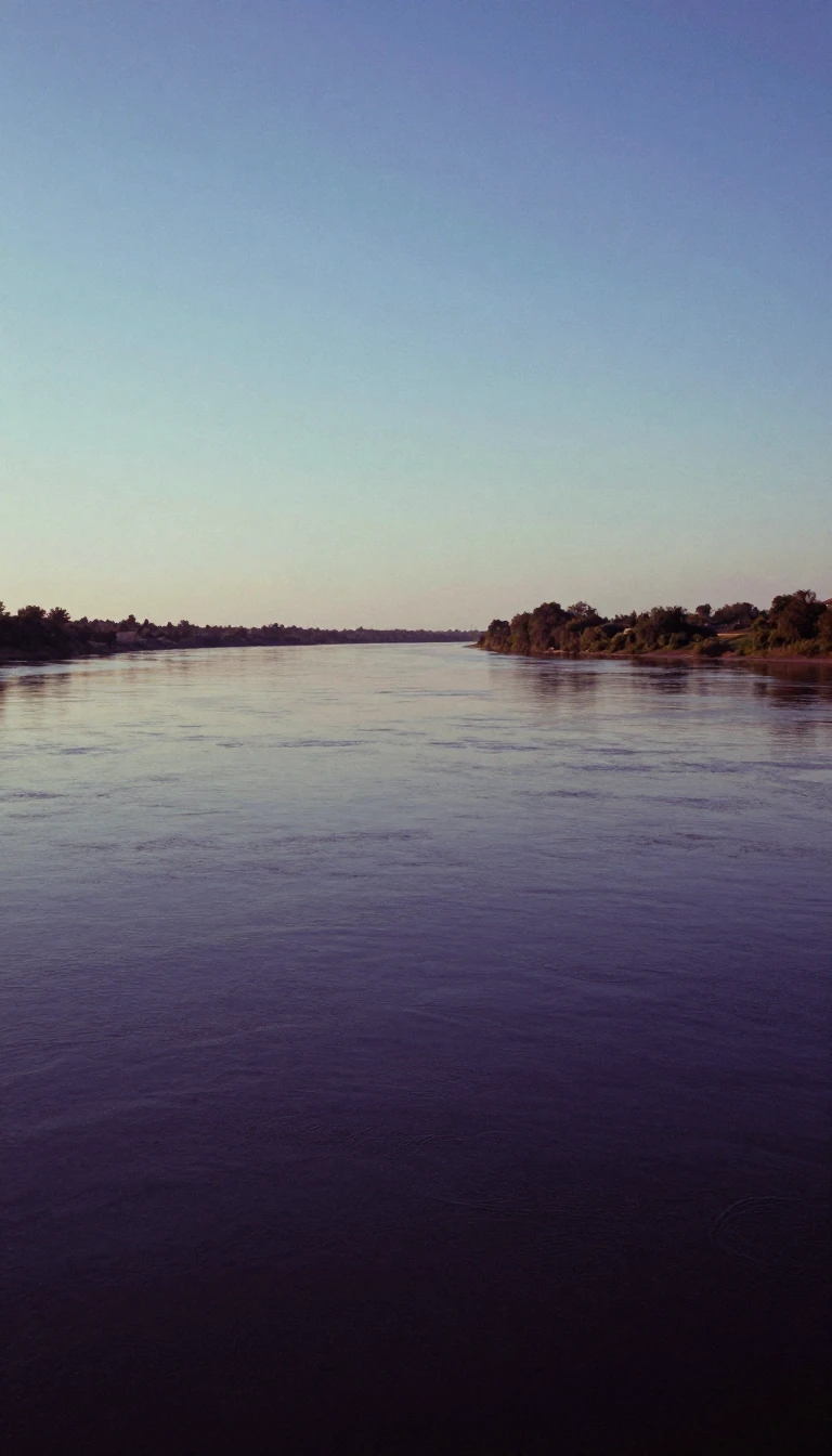
In short: Draining from the Laurentian Highlands, the Saguenay River is a powerful waterway defined by steep cliffs and industrial history. While once heavily polluted by pulp and paper mills, a catastrophic flood in 1996 inadvertently buried the river's toxic past, creating a cleaner environment for beluga whales and Greenland sharks.
Originating at Lac Saint-Jean in Quebec, the Saguenay River begins where two distinct water channels converge near the municipality of Alma. Before the construction of modern dams, this stretch was defined by powerful falls and rapids, but today it functions as a reservoir. The river flows east through the Saguenay Graben, a geological formation characterized by dramatic, steep cliffs that frame the waterway as it moves toward the Saint Lawrence River.
The river's identity is deeply tied to both human industry and ancient history. Indigenous peoples, including the Innu, have inhabited the region for millennia, and the river takes its name from the mythical Kingdom of Saguenay. By the 19th century, the river became a vital artery for logging and paper production. Today, hydroelectric stations like those at Shipshaw and Chute-à-Caron power local aluminum smelting and manufacturing, while the river's deep, cold waters serve as a critical habitat for marine life, including beluga whales near Tadoussac.
The river's ecological trajectory shifted dramatically during the Saguenay Flood of July 1996. While the event was one of Canada's most expensive natural disasters, it left behind an unexpected environmental benefit. The flood deposited a fresh layer of clean sediment, ranging from 10 to 50 centimetres thick, over the riverbed. This new material effectively capped heavily contaminated industrial waste, and subsequent research suggests that these legacy pollutants no longer pose a significant threat to the river's ecosystem.
Navigation on the river begins near Chicoutimi, a name derived from Innu-aimun that translates to 'how deep is it.' The river's unique geography allows tidal waters to push upriver as far as this point, about 100 kilometres from the mouth. Today, the confluence of the Saguenay and the Saint Lawrence is protected within the Saguenay–St. Lawrence Marine Park, balancing the river's industrial utility with its status as a sanctuary for diverse aquatic species.
Opens the Intellect+ feed with this card first. Swipe up for the next one.
Sources
- Summary by Intellect · source: Saguenay River
- Also: Wikidata — Saguenay River · CC0
- Also: Wikidata — Saguenay River, Lower Rapids · CC0
To cite this card, link to https://intellectplus.co.uk/app/places-saguenay-river.
How we source, check and correct cards: Editorial standards.
General information, not professional advice. Spotted an error? Flag the card or see corrections and complaints.
Intellect Plus is a visual educational discovery platform for exploring fascinating facts and ideas. Brain Food, Not Brain Rot. What is Intellect Plus?
Related
More in Bodies of water · More in Countries & Cities · Latest · A–Z · All topics
