Why this flat coastal region is known as the breadbasket of North Korea
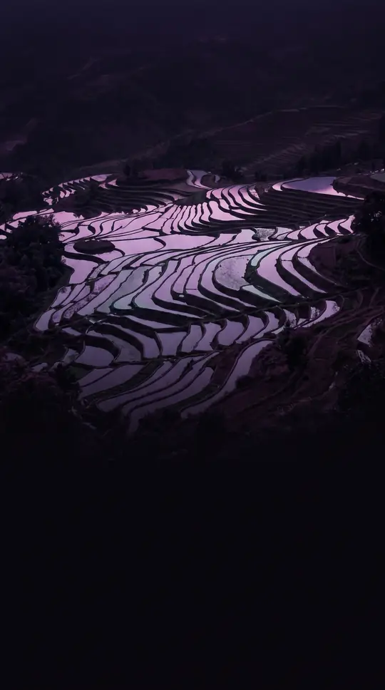
In short: South Hwanghae Province is a rare agricultural powerhouse in a nation defined by rugged mountains. By leveraging its expansive plains, this region produces the bulk of the country's rice, grains, and fruit. Its unique geography helped it endure the severe food shortages that devastated other provinces during the 1990s.
Established in 1954 following the division of the original Hwanghae Province, South Hwanghae occupies a strategic position in western North Korea. Its name, which translates to Yellow Sea, reflects its western border along that body of water. The provincial capital, Haeju, serves as a vital maritime hub and stands as the largest port in the southern part of the country, excluding Wonsan. The landscape is notably less mountainous than the rest of the nation, providing fertile ground for extensive cultivation.
The region's agricultural success is so significant that it is widely recognized as the nation's primary food source. This productivity proved critical during the Arduous March of the 1990s, as the province's abundant harvests of vegetables, rice, and fruit offered a buffer against the widespread famine that impacted other regions. Specialized areas like Kwail County, whose name literally means fruit, were specifically developed to maintain large-scale orchards, highlighting the state's focus on maximizing the province's agrarian potential.
Beyond its agricultural output, the province is a repository of deep history. The landscape is marked by ancient relics, including Iron Age dolmen, Koguryo-era tombs like Anak Tomb No. 3, and cultural sites such as the Kangsosa Buddhist temple. The region also features a Koryo-era ice house, illustrating centuries of human settlement. Administratively, the province is organized into one city and nineteen counties, with its southern border defined by the Demilitarized Zone. The maritime boundary remains a point of tension, with the Northern Limit Line separating the North from islands under South Korean administration, while the North retains control over islands such as Kirin-do, Changrin-do, and Sunwi-do.
Opens the Intellect+ feed with this card first. Swipe up for the next one.
Sources
- Summary by Intellect · source: South Hwanghae Province
- Also: Wikidata — South Hwanghae Province · CC0
To cite this card, link to https://intellectplus.co.uk/app/places-south-hwanghae-province.
How we source, check and correct cards: Editorial standards.
General information, not professional advice. Spotted an error? Flag the card or see corrections and complaints.
Intellect Plus is a visual educational discovery platform for exploring fascinating facts and ideas. Brain Food, Not Brain Rot. What is Intellect Plus?
Related
More in Regions and country subdivisions · More in Countries & Cities · Latest · A–Z · All topics
