Why the Moon's craters are named after ancient scholars and Catholic saints
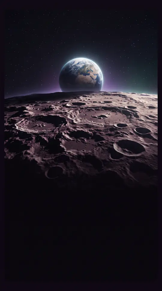
In short: Selenography, the study of the Moon's physical features, evolved from early naked-eye sketches to precise orbital mapping. While modern science uses laser altimetry to measure lunar topography, the names we use for craters and seas remain rooted in a 17th-century system designed to reconcile theology with emerging astronomical discovery.
The systematic naming of lunar features began in earnest during the 17th century. In 1645, Michael van Langren introduced a nomenclature heavily influenced by Catholic tradition, honoring saints and royalty. Shortly after, Johannes Hevelius published his 1647 atlas, Selenographia, which instead used terrestrial geographical names to describe the Moon's surface. However, it was the 1651 work Almagestum novum by Giambattista Riccioli that established the enduring standard.
Riccioli’s system was both poetic and politically nuanced. He divided the visible Moon into eight octants, assigning names based on historical eras and regions. Ancient Greek scholars like Plato and Archimedes were placed in the northwest, while Roman figures occupied the center. In a subtle gesture toward the Catholic Church, Riccioli placed figures like Copernicus and Galileo in the final octant, effectively banishing them from the company of the ancients. This nomenclature was so widely adopted that the International Astronomical Union officially codified it in 1935.
Beyond naming, selenography has transformed our understanding of the Moon's physical structure. We now know the Moon is not perfectly spherical; its far side sits about 1.9 km higher on average than the near side, likely due to a thicker crust. Modern instruments like the Lunar Orbiter Laser Altimeter have replaced the haphazard methods of the past, using a nominal radius of 1,737.4 km to map elevations. While early cartographers like Johann Heinrich von Mädler relied on direct observation to label satellite craters with letters, today's maps are built on global digital elevation models.
The field continues to evolve as new data arrives from missions like the Soviet Lunokhods and the GRAIL satellites, which measured the lunar selenoid. Despite these technological leaps, the legacy of 17th-century scholars persists. When we look at the Moon today, we are still navigating a landscape defined by the octants and Latin toponyms established nearly four centuries ago.
Opens the Intellect+ feed with this card first. Swipe up for the next one.
Sources
- Summary by Intellect · source: Selenography
To cite this card, link to https://intellectplus.co.uk/app/space-selenography.
How we source, check and correct cards: Editorial standards.
General information, not professional advice. Spotted an error? Flag the card or see corrections and complaints.
Intellect Plus is a visual educational discovery platform for exploring fascinating facts and ideas. Brain Food, Not Brain Rot. What is Intellect Plus?
Related
More in Astronomical objects · More in Space · Latest · A–Z · All topics
