Why the Scottish Highlands are actually a masterclass in ancient, slow-motion geological erosion
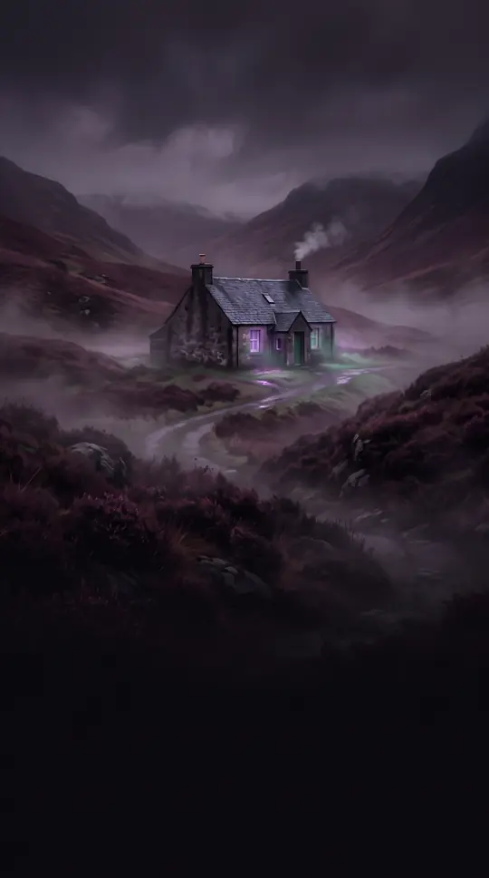
In short: The Scottish Highlands are not just rugged peaks; they are a complex, glacier-scoured landscape shaped by millions of years of structural shifts. From the rift valley of the Midland Valley to the knife-edge ridges of the west, this terrain reveals a history of ancient rocks and dramatic environmental transformation.
The Scottish Highlands are defined by a northeast-to-southwest geological trend, with the core Grampian Mountains featuring surfaces worn down to between 1,000 and 3,600 feet. While Ben Nevis stands as the highest summit at 4,406 feet, the region is characterized by elevated plateaus that serve as reminders of extensive past erosion. This landscape is deeply furrowed by wide valleys known as straths, while the west is marked by glacier-scoured hollows and deep glens.
The structural complexity of the region is highlighted by the linear Glen Mor, a vast sideways tear in the North West Highlands that now hosts the Caledonian Canal. To the northwest, the landscape reflects the intense impact of Ice Age glaciers, which scored and plucked the massif, creating sea-drowned fjords and elongated peninsulas. In contrast, the east displays smoother outlines, particularly in low-lying areas like the Buchan peninsula and the plain of Caithness.
The Midland Valley acts as a structural block between the Highlands and the Southern Uplands, defined by great regular faults. While the Southern Uplands present a more subdued relief, rarely exceeding 2,800 feet, they still feature rugged imprints of former glaciers. Across the British Isles, these geological patterns extend into Northern Ireland, where the Sperrin Mountains reach 2,241 feet, and into England and Wales, where the Pennines form an asymmetrically arched backbone of moorland plateau.
The geomorphology of these regions is varied, ranging from the limestone drainage systems of the southern Pennines to the tough slate peaks of the Cumbrian Mountains. Whether through the volcanic rock of the Midland Valley or the granite masses of the Mourne Mountains, these highlands illustrate how ancient tectonic activity and subsequent erosion continue to dictate the topography of the modern landscape.
Opens the Intellect+ feed with this card first. Swipe up for the next one.
Sources
- Summary by Intellect · source: United Kingdom - Highlands, Islands, Geography | Britannica
- Also: Highland
To cite this card, link to https://intellectplus.co.uk/app/nature-highland.
How we source, check and correct cards: Editorial standards.
General information, not professional advice. Spotted an error? Flag the card or see corrections and complaints.
Intellect Plus is a visual educational discovery platform for exploring fascinating facts and ideas. Brain Food, Not Brain Rot. What is Intellect Plus?
Related
More in Geomorphology · More in Nature · Latest · A–Z · All topics
