Why the true source of a river is rarely where you think it is
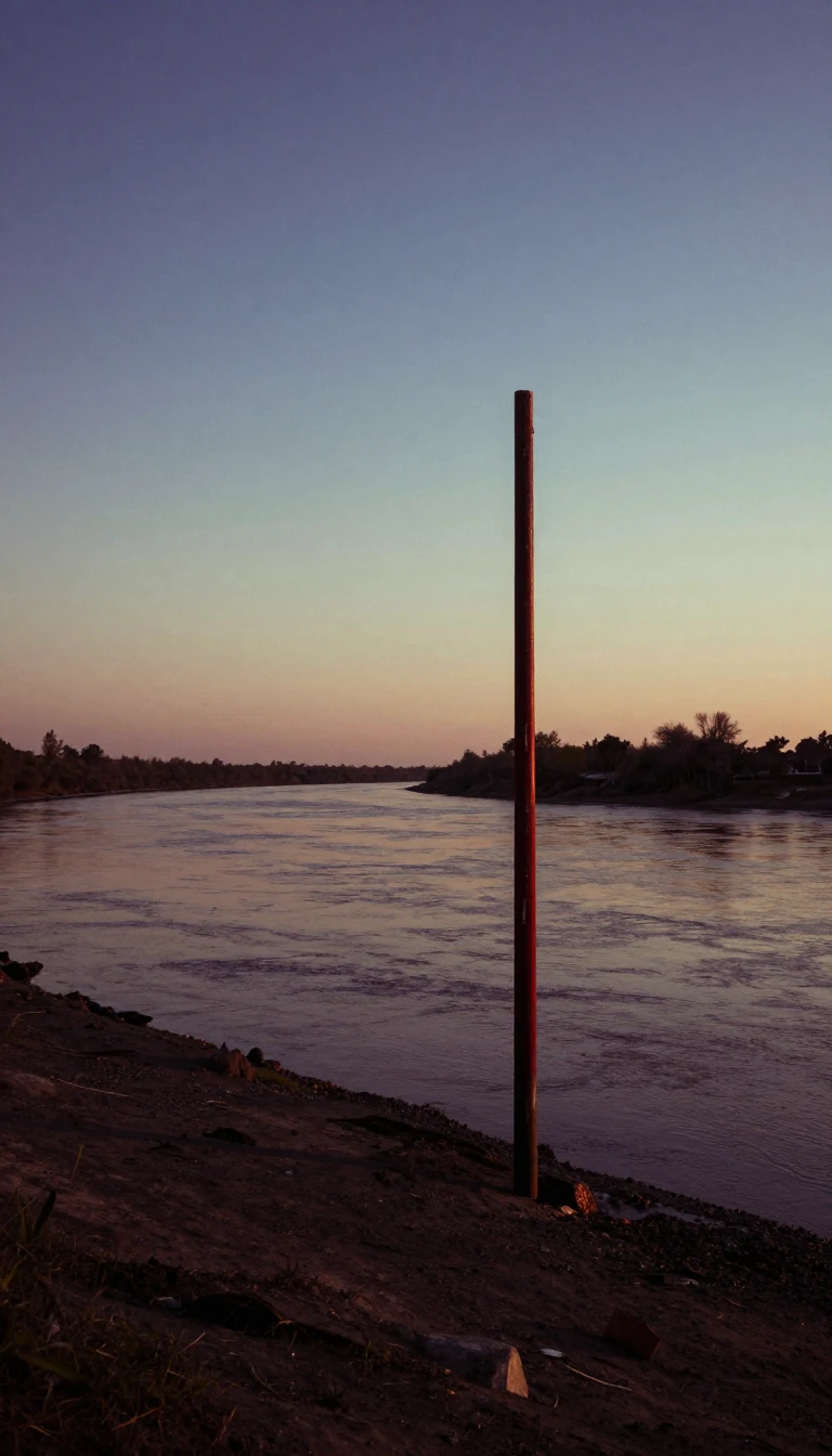
In short: We often assume a river begins where it is named or where a lake ends. Yet, geographers define a river's source by the most distant point in its drainage basin. This technical standard often ignores local names, turning major rivers into complex systems of tributaries that stretch far beyond maps.
Defining the beginning of a river is a matter of geographic convention rather than simple observation. While local maps might label a specific point as the start, authorities like the National Geographic Society and the United States Geological Survey typically prioritize the most distant headwater. This measurement follows the longest continuous watercourse from the river's mouth to its furthest upstream point, regardless of the names assigned to different sections of the channel.
This methodology often contradicts traditional naming. For instance, the Nile is officially measured from the source of the Kagera River rather than Lake Victoria’s outlet. If the lake were considered the true source, the river would lose over 900 kilometers of its length, dropping it significantly in global rankings. Similarly, the Missouri River is often historically cited as beginning at the confluence of the Madison and Jefferson rivers, a convention dating back to Lewis and Clark. However, modern geographers argue the true source lies much further upstream, tracing the Jefferson, Beaverhead, and Red Rock rivers to their most remote creek.
These definitions are not merely academic; they determine how we quantify the world's geography. A river is treated as a linear feature with one mouth and one source, but identifying that source requires choosing between perennial flow, ephemeral channels, or even marshland. While some regions, like Montana, explicitly define a source as the point furthest from the river's end, others—like the United Kingdom with the River Thames—may stick to traditional naming conventions. This tension between historical usage and modern hydrological measurement ensures that the search for a river's true origin remains a subject of ongoing debate.
Ultimately, headwaters are often found near watershed divides, such as the Colorado River’s origin at the Continental Divide. Whether the water originates from melting glaciers, spring runoff, or perennial streams, the classification of a source remains a deliberate choice. By prioritizing the longest tributary, scientists ensure that river length measurements remain consistent across global geographic publications, even when the resulting source bears little resemblance to the river's common name.
Opens the Intellect+ feed with this card first. Swipe up for the next one.
Sources
- Summary by Intellect · source: River source
To cite this card, link to https://intellectplus.co.uk/app/nature-river-source.
How we source, check and correct cards: Editorial standards.
General information, not professional advice. Spotted an error? Flag the card or see corrections and complaints.
Intellect Plus is a visual educational discovery platform for exploring fascinating facts and ideas. Brain Food, Not Brain Rot. What is Intellect Plus?
Related
More in Water · More in Nature · Latest · A–Z · All topics
