Divided by war and defined by mountains, this province is South Korea's rugged frontier.
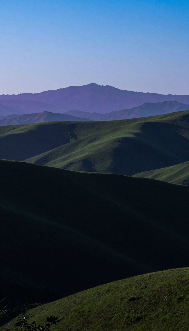
In short: Gangwon State is a land of extremes, home to South Korea's least populated regions and its highest peaks. Once a unified province, it was split by the 38th parallel in 1945 and remains scarred by the Military Demarcation Line, blending ancient Buddhist heritage with the stark reality of a frozen conflict.
Formed in 1395 during the Joseon period, Gangwon derives its name from the cities of Gangneung and Wonju. Its geography is defined by the Taebaek Mountains, which bisect the province into two distinct regions: the western Yeongseo and the eastern Yeongdong. This mountain range not only dictates the local climate—ranging from humid subtropical to hot-summer humid continental—but also creates a steep, rocky coastline dotted with unique lagoons like Gyeongpoho.
The province's modern history is inseparable from the division of Korea. Following the 1945 occupation by American and Soviet forces, the province was split. The 1953 Korean War Armistice Agreement further shifted the boundary to the current Military Demarcation Line. Today, the region serves as a poignant intersection of tourism and security. Visitors can explore the Goseong Unification Observatory to view North Korea’s Kumgang-san, or visit the Second Tunnel, a clandestine passage discovered in 1975 that was intended for a surprise raid into the South.
Despite its proximity to the DMZ, Gangwon is a hub for South Korean culture and recreation. It hosted the 2018 Winter Olympics and Paralympics in Pyeongchang, and the 2024 Winter Youth Olympics. The province is also home to four national parks, including Seoraksan, designated a UNESCO biosphere reserve in 1982. From the traditional buckwheat and potato-based cuisine of its mountain counties to the bustling Gangneung Coffee Street, the province maintains a distinct identity shaped by its isolation, its mineral-rich soil, and its resilience.
On June 11, 2023, the region was officially designated as a special self-governing province, adopting the English name Gangwon State. It remains a place where the past is physically present, whether through the ancient Buddhist temples like Woljeongsa or the abandoned Woljeong-ri station, where a bombed train wreck serves as a silent witness to the conflict that continues to define the landscape.
Opens the Intellect+ feed with this card first. Swipe up for the next one.
Sources
- Summary by Intellect · source: Gangwon Province, South Korea
- Also: Wikidata — Gangwon Province · CC0
To cite this card, link to https://intellectplus.co.uk/app/places-gangwon-province-south-korea.
How we source, check and correct cards: Editorial standards.
General information, not professional advice. Spotted an error? Flag the card or see corrections and complaints.
Intellect Plus is a visual educational discovery platform for exploring fascinating facts and ideas. Brain Food, Not Brain Rot. What is Intellect Plus?
Related
More in Regions and country subdivisions · More in Countries & Cities · Latest · A–Z · All topics
