Why rivers carve deep into the earth, leaving ancient landscapes high and dry
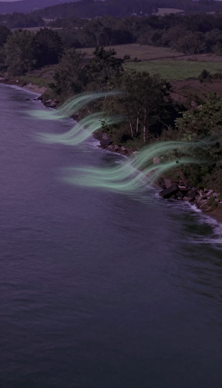
In short: Rivers are not just water flowing downhill; they are relentless architects of the landscape. Through a process called degradation, streams actively lower their beds by eroding bedrock or transporting more sediment than they receive. This geological downcutting transforms river valleys, leaving behind elevated terraces that tell the story of time.
Geological degradation is fundamentally the process of lowering a fluvial surface, such as a stream bed or a floodplain, through the persistent action of erosion. It stands in direct opposition to aggradation, where sediment builds up over time. This phenomenon typically occurs in two specific environmental contexts: where a river is actively cutting into solid bedrock, or within systems that are starved of sediment. In the latter case, the stream possesses enough energy to entrain more material from the channel floor than it receives from upstream, leading to a net loss of elevation.
When a stream undergoes this process, it often leaves behind a fluvial terrace, which serves as a physical record of the river's former elevation. If the river is incising through solid rock, it creates a strath terrace, which may feature only a light covering of alluvium. These landforms are invaluable to geologists because they act as chronological markers. By analyzing these terraces, researchers can reconstruct the history of a river's vertical movement and determine the rate at which it has carved through the landscape over millennia.
To accurately date these features, scientists employ a variety of sophisticated techniques. Cosmogenic radionuclide dating and optically stimulated luminescence (OSL) dating are common methods used to pinpoint when a river occupied a specific level. Additionally, paleomagnetic dating allows researchers to utilize historical shifts in the orientation of the Earth's magnetic field as a temporal guide. By mapping these reversals, geologists can constrain the timing of past erosional events, providing a clearer picture of how drainage networks have evolved in response to changing environmental conditions, such as fluctuations in monsoonal strength or tectonic activity.
Opens the Intellect+ feed with this card first. Swipe up for the next one.
Sources
- Summary by Intellect · source: Degradation (geology)
To cite this card, link to https://intellectplus.co.uk/app/nature-degradation-geology.
How we source, check and correct cards: Editorial standards.
General information, not professional advice. Spotted an error? Flag the card or see corrections and complaints.
Intellect Plus is a visual educational discovery platform for exploring fascinating facts and ideas. Brain Food, Not Brain Rot. What is Intellect Plus?
Related
More in Geology · More in Nature · Latest · A–Z · All topics
