A French spring is slowly dissolving the mountains that feed its massive water flow
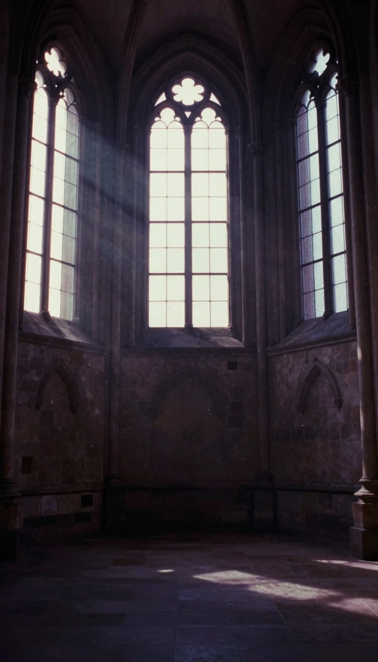
In short: The Fontaine de Vaucluse is a geological powerhouse, acting as the primary exit for a vast underground basin. This karst spring does more than just feed the River Sorgue; it actively carves the landscape, dissolving thousands of tons of limestone annually and revealing ancient secrets hidden deep within its depths.
Located in the commune of Fontaine-de-Vaucluse, this spring is the largest of its kind in metropolitan France and the fifth largest globally. It functions as the sole outlet for a 1,100-square-kilometre underground basin, capturing water from landmarks like Mont Ventoux and the Albion Plateau. The spring is a classic 'Vaucluse spring,' where water circulates through a complex network of limestone faults and breaks before emerging at the surface. This process is a result of karstification, a phenomenon that has been shaping the region since the Miocene epoch, specifically following the Messinian salinity crisis between 5.96 and 5.33 million years ago.
The spring's chemical impact is profound. Because the water contains roughly 200 milligrams of calcium carbonate per litre, the reservoir loses approximately 50,000 cubic metres of limestone every year. This erosion is so significant that projections suggest the surrounding mountains will lose 1,500 metres of thickness over the next 3.5 million years. Beyond its geological role, the site has served as a place of ritual for millennia. Archaeological dives, particularly those conducted between 2001 and 2003, have recovered over 1,600 historical objects and coins dating from the 1st century BC to the 5th century AD.
Exploration of the spring has pushed the limits of human endurance and technology. Early attempts in the 19th century were limited by heavy gear, but the advent of scuba diving allowed pioneers like Jacques Cousteau to reach depths of 74 metres by 1955. Later, the use of oxygen-helium mixtures and advanced robotics revealed the true scale of the system. In 1989, the Spélénaute robot reached the lowest known point of the siphon at 308 metres. Today, scientists understand that the accessible reservoir actually extends much deeper, exceeding 921 metres, as part of a vast, interconnected system of chasms that riddles the Albion Plateau.
Opens the Intellect+ feed with this card first. Swipe up for the next one.
Sources
- Summary by Intellect · source: Fontaine de Vaucluse (spring)
To cite this card, link to https://intellectplus.co.uk/app/places-fontaine-de-vaucluse-spring.
How we source, check and correct cards: Editorial standards.
General information, not professional advice. Spotted an error? Flag the card or see corrections and complaints.
Intellect Plus is a visual educational discovery platform for exploring fascinating facts and ideas. Brain Food, Not Brain Rot. What is Intellect Plus?
Related
More in Other hydrological features · More in Countries & Cities · Latest · A–Z · All topics
