A chain of fourteen lakes defines the heart of Guatemala's largest northern department
In short: Spanning one-third of Guatemala, the Petén department is a vast limestone wilderness defined by its unique drainage basins. Beyond its dense tropical forests and ancient Maya ruins, the region hides a central network of interconnected lakes that transform during the rainy season, shaping the landscape of this remote northern territory.
The Petén department, established by government decree in 1866, serves as the northernmost administrative region of Guatemala. Covering 35,854 square kilometres, it is characterized by a low-lying limestone plain shaped by karstic topography. This environment features a mix of dense tropical forests, seasonal swamps known as bajos, and a central drainage basin that spans roughly 100 kilometres east to west. Within this basin, a chain of fourteen lakes creates a distinct hydrological system; during the wet season, these bodies of water can become physically linked.
The region's climate shifts from tropical in the south to a semitropical environment as one moves northward. Rainfall varies significantly across the department, with mean annual precipitation ranging from 1,198 millimetres in the northeast to over 2,000 millimetres near the capital, Flores. Temperatures typically stay between 12 and 40 degrees Celsius, rarely dipping below 18 degrees. This varied climate supports a diverse landscape, from the red clay savannahs in the south—which historically limited pre-Columbian agricultural expansion—to the rugged, forested hills that reach altitudes of 500 metres in the south.
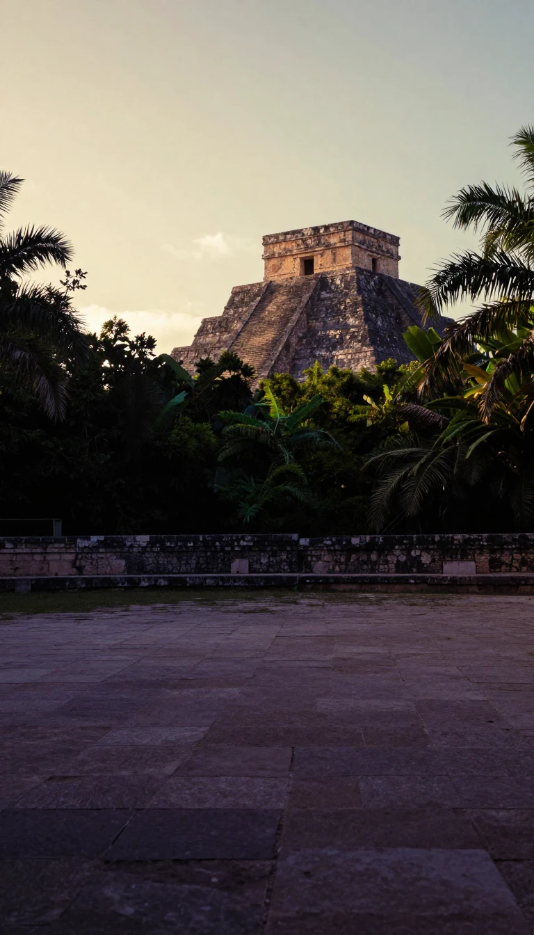
Beyond its natural geography, Petén is a critical site for archaeology, housing numerous Maya civilization ruins such as Tikal and El Mirador. The department's modern development was historically slow; until the first paved road was completed in 1982, travel to the capital was notoriously difficult. Today, the region faces environmental challenges, particularly severe deforestation in the south. Efforts to manage this include ecotourism initiatives like the Cuatro Balam plan, which aims to protect the Maya Biosphere Reserve while balancing the needs of a growing population that reached nearly 600,000 by 2018.
Opens the Intellect+ feed with this card first. Swipe up for the next one.
Sources
- Summary by Intellect · source: Petén Department
- Also: Wikidata — Petén Department · CC0
To cite this card, link to https://intellectplus.co.uk/app/places-pet-n-department.
How we source, check and correct cards: Editorial standards.
General information, not professional advice. Spotted an error? Flag the card or see corrections and complaints.
Intellect Plus is a visual educational discovery platform for exploring fascinating facts and ideas. Brain Food, Not Brain Rot. What is Intellect Plus?
Related
More in Bodies of water · More in Countries & Cities · Latest · A–Z · All topics
