Why the most dangerous tropical cyclone rainfall often happens before the eye arrives
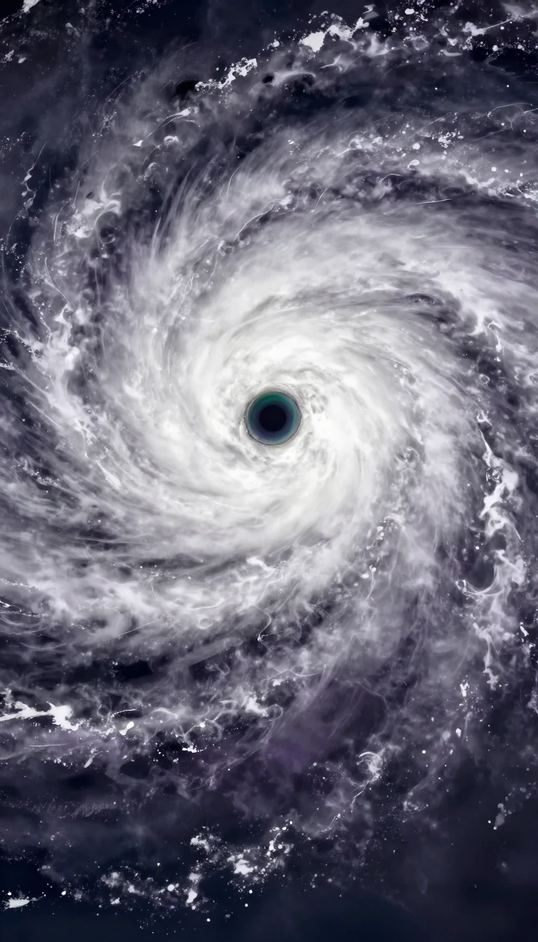
In short: Tropical cyclones are not uniform rain machines. While we often focus on the center, the heaviest precipitation frequently occurs in advance of the eye. Predicting these deluges requires balancing complex atmospheric variables, from mountain topography to vertical wind shear, which can either magnify rainfall or leave a storm dangerously dry.
Forecasting tropical cyclone rainfall is a high-stakes exercise in modeling atmospheric behavior. Meteorologists rely on a mix of climatology and real-time data to estimate precipitation. The r-CLIPER model serves as a vital baseline; if advanced global models cannot outperform this simple climatology-based tool, they are deemed to lack predictive skill. For short-term projections, the TRaP technique extrapolates current satellite-derived rainfall patterns 24 hours into the future, though it assumes the storm remains in a steady state.
The distribution of rain is rarely symmetrical. Most precipitation falls in advance of the cyclone's center, particularly in the right-front quadrant. When vertical wind shear interacts with the storm, it forces rainfall to become asymmetric, often concentrating it downshear and to the left. If this shear is sufficiently strong, it can displace the bulk of the rain away from the center entirely, potentially exposing the circulation and significantly reducing the storm's overall rainfall potential.
Topography and storm movement are critical modifiers of total accumulation. Mountains act as force multipliers; as moist air is pushed up windward slopes, it triggers heavy rainfall that can lead to catastrophic landslides, as seen during Hurricane Mitch in Central America. Furthermore, the speed of the storm is a primary determinant of local totals. Slow-moving systems, such as Hurricane Danny or Hurricane Wilma, allow for prolonged exposure to heavy rain over a single location, leading to the highest recorded totals.
Even simple rules of thumb, like the Kraft technique developed in the late 1950s, offer quick insights by dividing 100 by the storm's speed in knots. However, these methods often struggle with the limitations of current observing networks. Because no model currently operates at a grid scale fine enough to capture absolute maxima—typically requiring resolution smaller than 1 km—forecasters must constantly refine their approach to account for the complex interplay between ocean moisture, frontal boundaries, and the physical landscape.
Opens the Intellect+ feed with this card first. Swipe up for the next one.
Sources
- Summary by Intellect · source: Tropical cyclone rainfall forecasting
- Also: www.metoffice.gov.uk — Tropical cyclones
- Also: www.ecmwf.int — Tropical Cyclones
To cite this card, link to https://intellectplus.co.uk/app/nature-tropical-cyclone-rainfall-forecasting.
How we source, check and correct cards: Editorial standards.
General information, not professional advice. Spotted an error? Flag the card or see corrections and complaints.
Intellect Plus is a visual educational discovery platform for exploring fascinating facts and ideas. Brain Food, Not Brain Rot. What is Intellect Plus?
Related
More in Air · More in Nature · Latest · A–Z · All topics
