In 2025, global tropical cyclone activity mirrored long-term averages despite extreme regional intensity spikes.
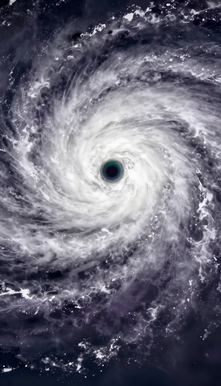
In short: While 2025 saw 133 tropical systems form across seven major basins, the global accumulated energy remained near the 1991–2020 average. Yet, behind this stability lay record-breaking regional volatility, including the deadliest cyclone in the North Indian Ocean and an unprecedented concentration of high-intensity storms in the Atlantic.
The 2025 tropical cyclone season produced 133 total systems, with 95 reaching named status. Global activity, measured by the accumulated cyclone energy index, reached 728.6 units—a figure remarkably close to the 770.2-unit mean established between 1991 and 2020. Despite this global equilibrium, specific basins experienced significant extremes. The Western Pacific stood out as the most active region, hosting 27 named systems, while the North Atlantic saw a season defined by high-intensity events rather than sheer volume.
The Atlantic season was marked by a late start and an unusual mid-season lull, yet it achieved a historic intensity profile. Four of its five hurricanes reached Category 4 or 5 status, the highest proportion ever recorded. Hurricane Melissa, the season's most intense Atlantic storm, reached a minimum pressure of 892 hPa. Meanwhile, the North Indian Ocean faced the year's most devastating event: Cyclone Senyar. This storm resulted in more than 2,253 fatalities and inflicted over $20 billion in economic losses across Thailand, Malaysia, and Indonesia, marking the costliest season on record for that basin.
Monitoring these systems requires a complex international network of ten specialized meteorological centers, including the National Hurricane Center and the Japan Meteorological Agency. These agencies track storms that vary wildly in behavior, from the short-lived early-season Atlantic storms to the rapid intensification of cyclones like Zelia in the Australian region. The year also highlighted rare phenomena, such as the proximity of hurricanes Humberto and Imelda, which came within 465 miles of each other—the closest recorded distance for two Atlantic storms in the satellite era.
The year serves as a reminder that global averages can mask localized disasters. While the total number of storms remained within expected bounds, the human and economic toll of individual events like Senyar or the flooding caused by Matmo underscores the persistent threat posed by these systems. Understanding the interplay between atmospheric conditions, such as Saharan dust or wind shear, and storm development remains critical for the warning centers tasked with protecting vulnerable populations.
Opens the Intellect+ feed with this card first. Swipe up for the next one.
Sources
- Summary by Intellect · source: Tropical cyclones in 2025
To cite this card, link to https://intellectplus.co.uk/app/nature-tropical-cyclones-in-2025.
How we source, check and correct cards: Editorial standards.
General information, not professional advice. Spotted an error? Flag the card or see corrections and complaints.
Intellect Plus is a visual educational discovery platform for exploring fascinating facts and ideas. Brain Food, Not Brain Rot. What is Intellect Plus?
Related
More in Air · More in Nature · Latest · A–Z · All topics
