Wind shear is the invisible atmospheric force that can dismantle a massive hurricane
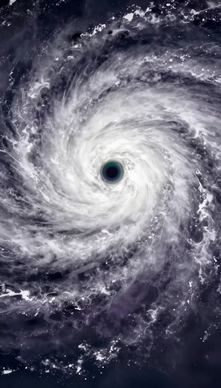
In short: Wind shear is a rapid change in wind velocity or direction over a short distance. While often associated with turbulence for aircraft, this atmospheric phenomenon acts as a critical regulator for weather systems, capable of either organizing thunderstorms into long-lived cycles or tearing apart the structure of a developing hurricane.
At its core, wind shear is a difference in wind speed or direction across a relatively small spatial gap. Meteorologists categorize it into two primary types: vertical shear, which involves changes in wind as altitude increases, and horizontal shear, which occurs when wind speed varies across a lateral distance at a constant height. These shifts are not merely local curiosities; they are fundamental drivers of atmospheric behavior, influencing everything from the propagation of sound waves to the development of tropical cyclones.
The impact of wind shear on severe weather is dual-natured. Within the troposphere, strong vertical wind shear can inhibit the formation of tropical cyclones by disrupting their internal organization. Conversely, this same force can help organize individual thunderstorms into more resilient, longer-lived systems capable of producing severe weather. The phenomenon is frequently observed near complex features such as mountain ranges, buildings, and weather fronts, where air masses of differing densities or temperatures converge and create sharp gradients in wind velocity.
Aviation remains one of the most sensitive domains for wind shear, particularly during takeoff and landing. Microbursts—intense, narrow columns of air that descend from rain clouds and fan out upon hitting the ground—are a notorious source of low-level shear. First identified by meteorologist T. Theodore Fujita in 1974, these events can cause a sudden, dangerous transition from a headwind to a tailwind for an aircraft. Because microbursts can be compact, lasting only 5 to 15 minutes and spanning just a few kilometers, they present a significant challenge for pilots and ground-based detection systems alike.
Beyond these convective events, wind shear is a constant factor in the upper atmosphere, where it manifests as clear-air turbulence near the edges of jet streams. Whether occurring as a result of nocturnal radiation inversions or the collision of cold and warm air masses, wind shear serves as a reminder that the atmosphere is a highly dynamic, three-dimensional fluid. Understanding these gradients is essential for both predicting severe weather patterns and ensuring the safety of modern aviation.
Opens the Intellect+ feed with this card first. Swipe up for the next one.
Sources
- Summary by Intellect · source: Meet Wind Shear, the Phenomenon That Can Rip a Hurricane Apart
- Also: Wind shear | Turbulence, Jet Streams & Updrafts | Britannica
- Also: Wind shear
To cite this card, link to https://intellectplus.co.uk/app/nature-wind-shear.
How we source, check and correct cards: Editorial standards.
General information, not professional advice. Spotted an error? Flag the card or see corrections and complaints.
Intellect Plus is a visual educational discovery platform for exploring fascinating facts and ideas. Brain Food, Not Brain Rot. What is Intellect Plus?
Related
More in Air · More in Nature · Latest · A–Z · All topics
