 Intellect Plus
Countries & Cities
15,123 cards. Each one is a 40-second story with a five-minute read behind it. Page 242 of 253.
Subtopics: Africa · Americas · Ancient cities & ruins · Asia · Australia & New Zealand · Basics · Bodies of water · Canada · Capes · Capital cities · Caribbean & Pacific islands · Castles & palaces · Cathedrals & churches · China · Cities · Countries · Countries and other regions · Countries of the world · Countries: General · Deserts · Eastern Europe · Europe and Russia · Famous landmarks · Famous streets & squares · Flags & symbols · France · Germany & Central Europe · Ghost towns · Greece & Turkey · Historical cities · Historical cities, towns and archaeological sites · India & South Asia · Islands · Isthmuses · Italy · Japan & Korea · Land relief · Major world cities · Maps & cartography · Microstates & enclaves · Middle East · Mountain peaks and volcanos · Mountains · National parks · Non-city settlements · Oceania · Other hydrological features · Other terrestrial features · Parks, preserves, and World Heritage Sites · Peninsulas · Polar regions · Ports & harbours · Regions and country subdivisions · Rivers & lakes · Scandinavia · Seaside towns · South America · Southeast Asia · Spain & Portugal · Technical geography · UK & Ireland: places · UK & Irish cities · United States landmarks · Urban studies and planning · US cities · Vegetation features · World Heritage Sites
 Eleven time zones make the world’s largest countryRussia spans Eastern Europe and North Asia as Earth’s largest country, crossing eleven time zones and sharing land borders with fourteen states. More than 140 million people make …
 East Africa’s mountain and savanna republic is famously densely peopledRwanda is a landlocked East African country of western mountains and southeastern savanna, with major lakes in the west and north and Virunga volcanoes on the borders. About 14 mi…
 The Caribbean’s smallest sovereign state was Europe’s “Mother Colony”Saint Kitts and Nevis packs about 48,000 people into 261 square kilometres—the Western Hemisphere’s smallest country by both area and population. Basseterre on Saint Kitts is capi…
 A Windward island named for a shipwrecked saint’s feast daySaint Lucia covers 617 square kilometres in the Windward Lesser Antilles between Martinique and Saint Vincent. Legend says French sailors wrecked there on 13 December, the feast o…
 La Soufrière’s 2021 blasts emptied sixteen thousand Vincentian homesSaint Vincent and the Grenadines spans 389 square kilometres at the southern Windwards, with most land on Saint Vincent around the capital, Kingstown. About 109,296 residents give…
 Earth’s largest country subdivision freezes past Verkhoyansk recordsSakha (Yakutia) is Russia’s largest federal subject and the world’s biggest country subdivision, holding about a million people along the Arctic Ocean in the Far East. Verkhoyansk…
 Two-thirds of Colombians live in one Andean river’s basinColombia’s Magdalena River runs about 1,528 kilometres from Huila’s cordillera split to Barranquilla’s Bocas de Ceniza on the Caribbean. Its 273,000-square-kilometre basin covers …
 A peninsula half born in 1948 still faces its twin across a parallelNorth Korea, officially the Democratic People’s Republic of Korea, occupies the northern Korean Peninsula between China and Russia along the Yalu and Tumen and South Korea along a…
 A 2019 rename ended a decades-long fight over “Macedonia”North Macedonia is a landlocked Balkan republic bordering Greece, Albania, Bulgaria, Kosovo, and Serbia—roughly the northern third of the wider geographic Macedonia. After Yugosla…
 Six Ulster counties became a UK region in 1921Northern Ireland, in the island’s northeast, is a UK country, province, or region depending on who speaks. The 2021 census counted 1,903,175 people across an open land border with…
 A kingdom named the “northern way” since Ohthere’s voyageNorway spans western and northern Scandinavia plus Arctic Jan Mayen and Svalbard, with Bouvet Island as a subantarctic dependency. English “Norway” traces to Ohthere of Hålogaland…
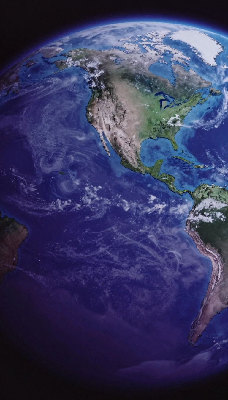 Malte-Brun’s “Oceania” covers nine million square kilometres of sea-landOceania groups Australasia, Melanesia, Micronesia, and Polynesia across both hemispheres at the water hemisphere’s centre. Land area runs about nine million square kilometres with…
- An Arabian sultanate ranked the UN’s most improved in forty yearsOman, a sultanate on the southeastern Arabian Peninsula, borders Saudi Arabia, the UAE, and Yemen, with Iranian and Pakistani maritime neighbours. The Al Bu Said dynasty has ruled…
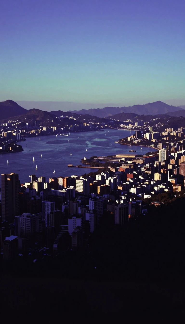 Canada’s most populous province holds nearly two-fifths of the countryOntario, Canada’s southernmost and most populous province, counted more than 14 million residents in 2021—about 38.5 percent of the national total. Roughly 250,000 freshwater lake…
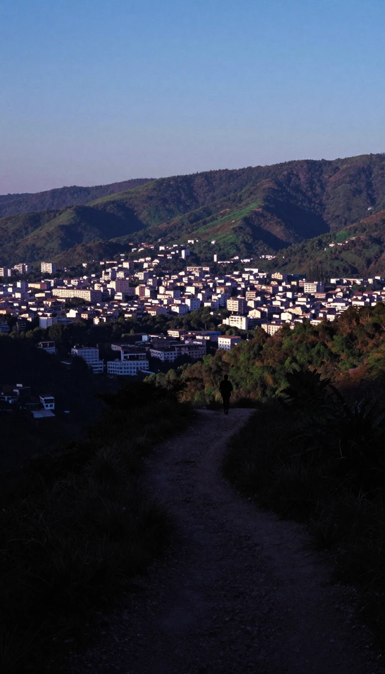 A 1933 pamphlet acronym became South Asia’s fifth-most-populous statePakistan, home to more than 241.5 million people, ranks fifth in world population and second among Muslim-majority nations as of 2023. Choudhry Rahmat Ali coined “Pakstan” in a Ja…
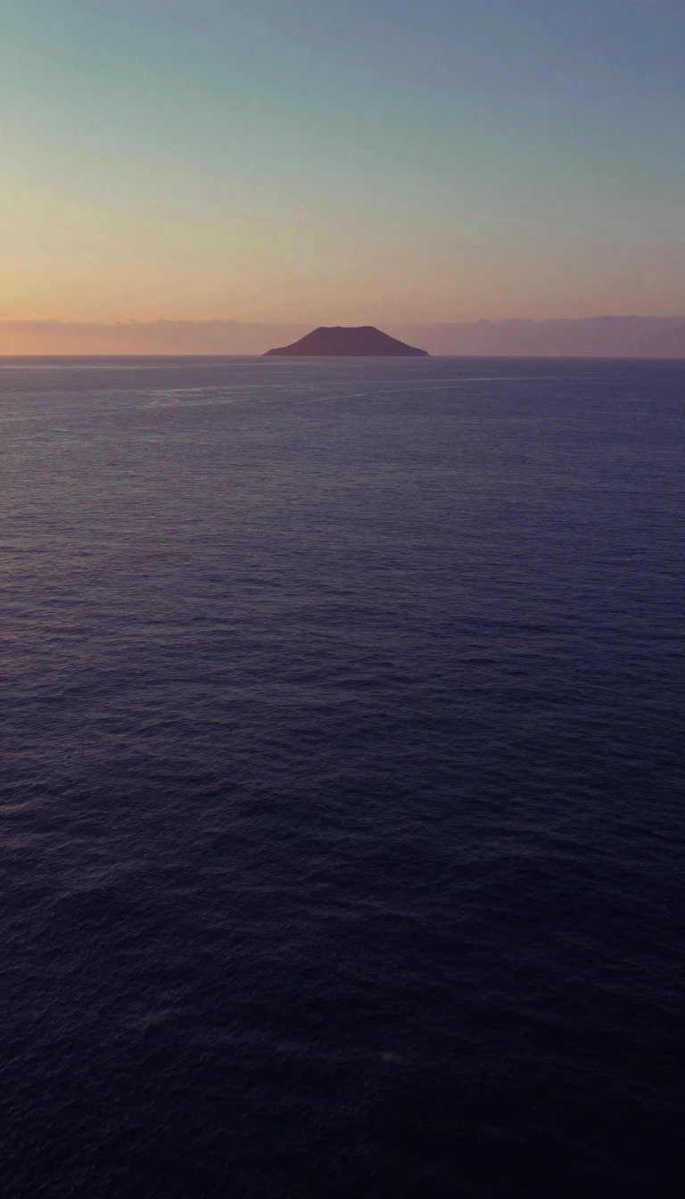 Three hundred forty islands make one of Earth’s smallest republicsPalau packs about 340 western Caroline Islands into 466 square kilometres, making it the world’s sixteenth-smallest country. Ngerulmud on Babeldaob is the capital, while Koror rem…
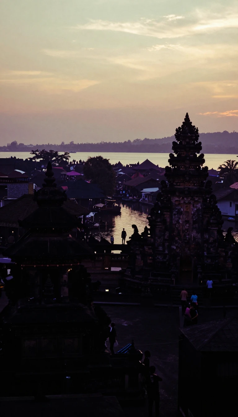 A three-million-year land bridge still minting canal tollsPanama links Central and South America between Costa Rica and Colombia, with Caribbean and Pacific coasts on either side. The isthmus closed about three million years ago; today’s…
 Half of New Guinea holds staggering languages and wild speciesPapua New Guinea covers the eastern half of New Guinea plus Melanesian offshore islands north of Australia. Only about fourteen percent of people lived in cities in 2023, and the …
 Guarani still fluent for nine-tenths of a landlocked nationParaguay sits landlocked between Bolivia, Brazil, and Argentina with about six million people, most mestizo. More than ninety percent speak Guarani dialects beside Spanish, the hi…
 Germany’s shortcut saves ships 460 kilometres around JutlandThe Kiel Canal—Nord-Ostsee-Kanal, once Kaiser-Wilhelm-Kanal—cuts 98 kilometres of freshwater through Schleswig-Holstein, linking the North Sea to the Baltic. Vessels skip a 460-ki…
 Tsushima splits Asia’s busiest short sea between Korea and JapanThe Korea Strait runs about 200 kilometres wide between the Korean Peninsula and southwestern Japan, averaging near 100 metres deep as it ties the East China Sea, Yellow Sea, and …
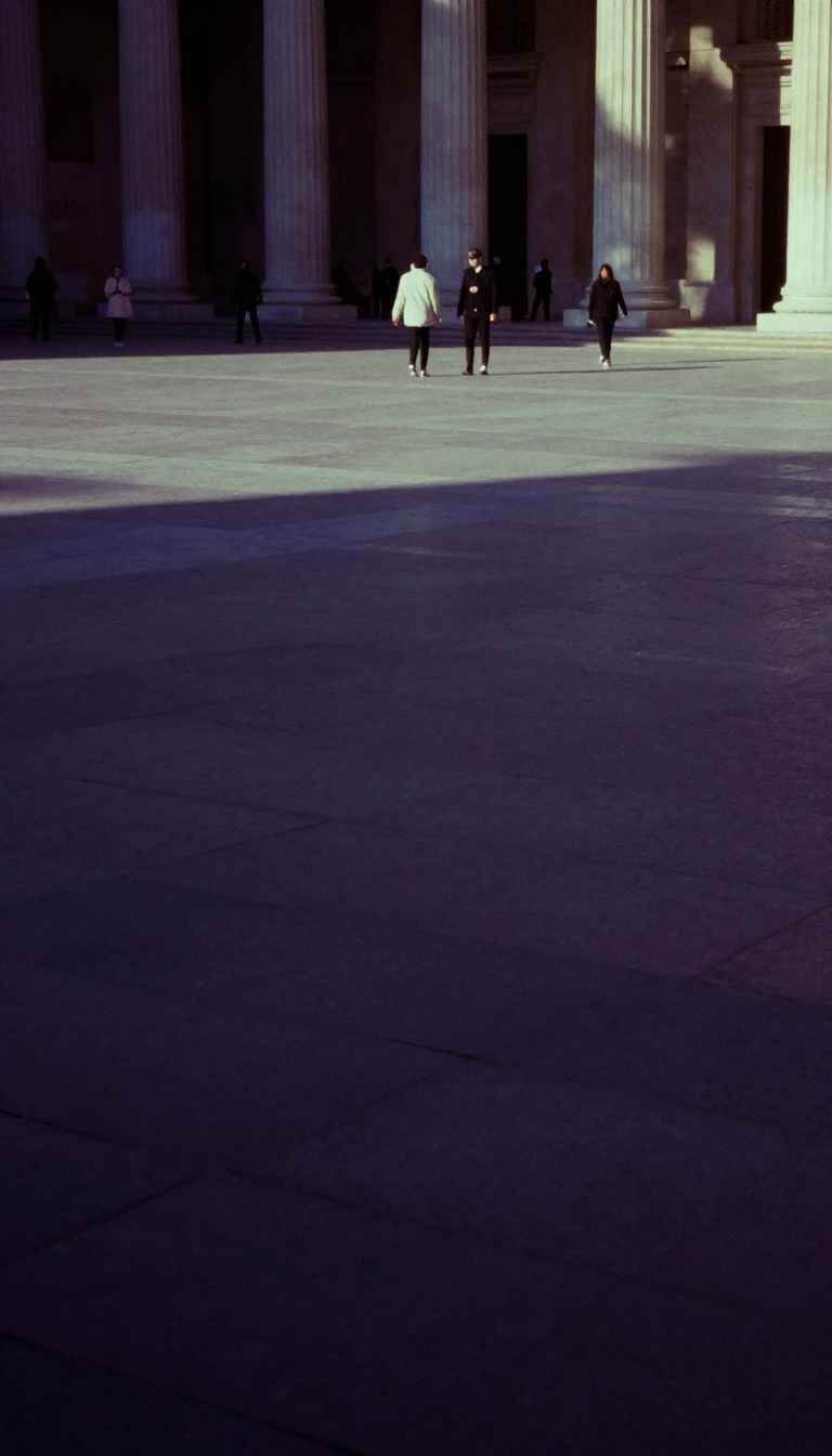 Lakes and volcanoes frame the Americas’ second-largest rainforest reserveNicaragua covers 130,370 square kilometres in Central America, making it the isthmus’s largest country, and its 7,097,329 residents in 2026 rank third behind Guatemala and Hondura…
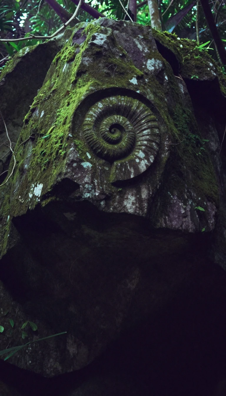 A river name and 280,000-year-old tools mark a Sahel stateOfficially the Republic of the Niger, this landlocked West African unitary state is bordered by Libya, Chad, Nigeria, Benin, Burkina Faso, Mali, and Algeria. It takes its name fro…
 Africa’s giant hosts 250 peoples and a Nok beginningNigeria, between the Sahel and the Gulf of Guinea, covers 923,769 square kilometres and holds more than 242 million people, making it Africa’s most populous country and sixth worl…
- A raised coral “Rock” governs itself with New Zealand’s kingNiue, a self-governing Polynesian island in free association with New Zealand, sits in a triangle of Tonga, Samoa, and the Cook Islands—about 2,400 kilometres northeast of New Zea…
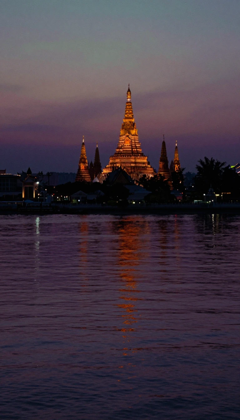 Eight states guard India’s first oil well and a WWII battlefieldNortheast India—the North Eastern Region—joins eight states at the country’s eastern tip: Arunachal Pradesh, Assam, Manipur, Meghalaya, Mizoram, Nagaland, Tripura, and Sikkim, a c…
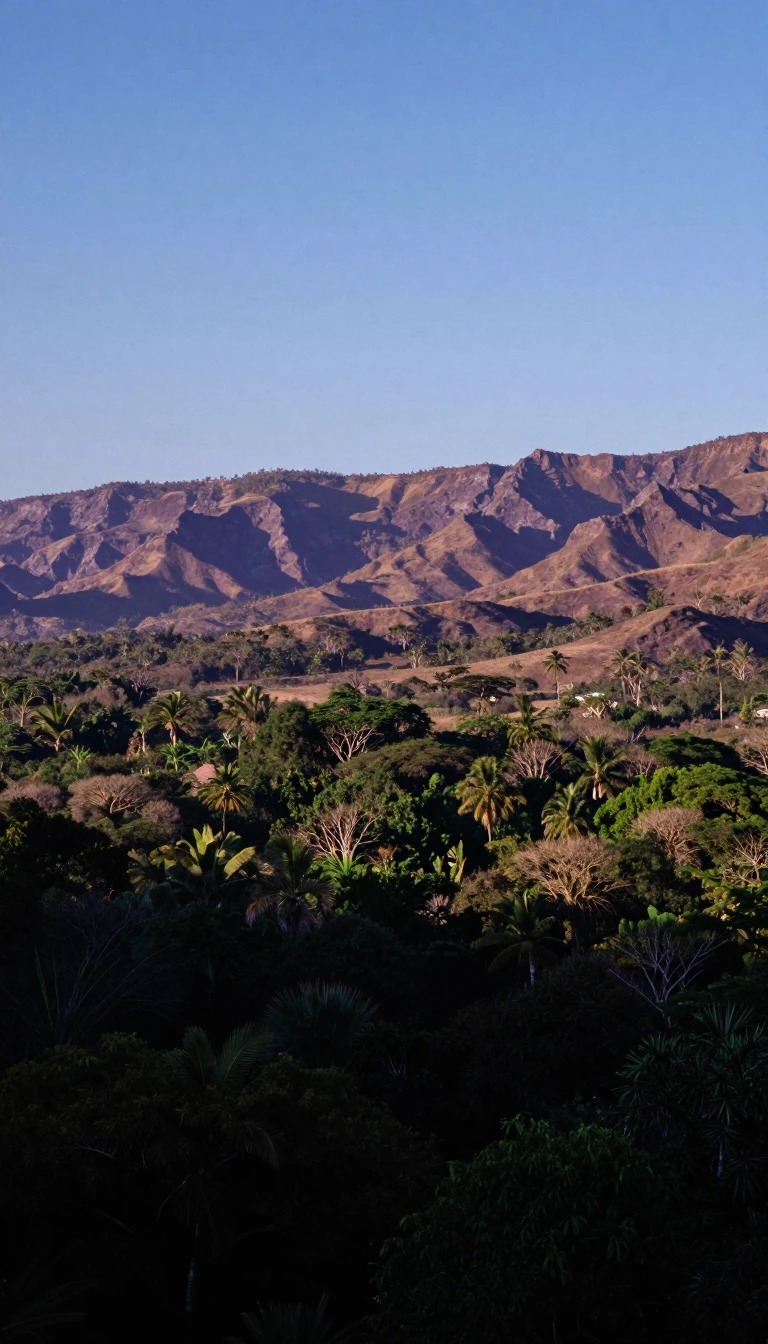 A Mesoamerican cradle now ranks thirteenth in world GDPMexico—the United Mexican States—is Latin America’s northernmost country, bordering the United States, Guatemala, and Belize, with Pacific, Gulf of Mexico, and Caribbean shores. H…
- Two thousand islands share a name without sharing one cultureMicronesia gathers roughly 2,000 small Northwestern Pacific islands with cultural ties to Maritime Southeast Asia, Polynesia, and Melanesia. Four main archipelagos—Carolines, Gilb…
 A British India Office label still organises three continents’ hingeThe Middle East generally means all of Egypt plus West Asia except the Caucasus—roughly Europe’s older “Near East.” Thirteen of eighteen Middle Eastern states are Arab; Egypt, Ira…
- Twelve states once called simply “the West” now feed a Corn BeltThe Midwestern United States—Heartland, Middle West—is a Census Bureau region of twelve north-central states from Ohio to the Dakotas. The 2020 census counted 68,995,685 residents…
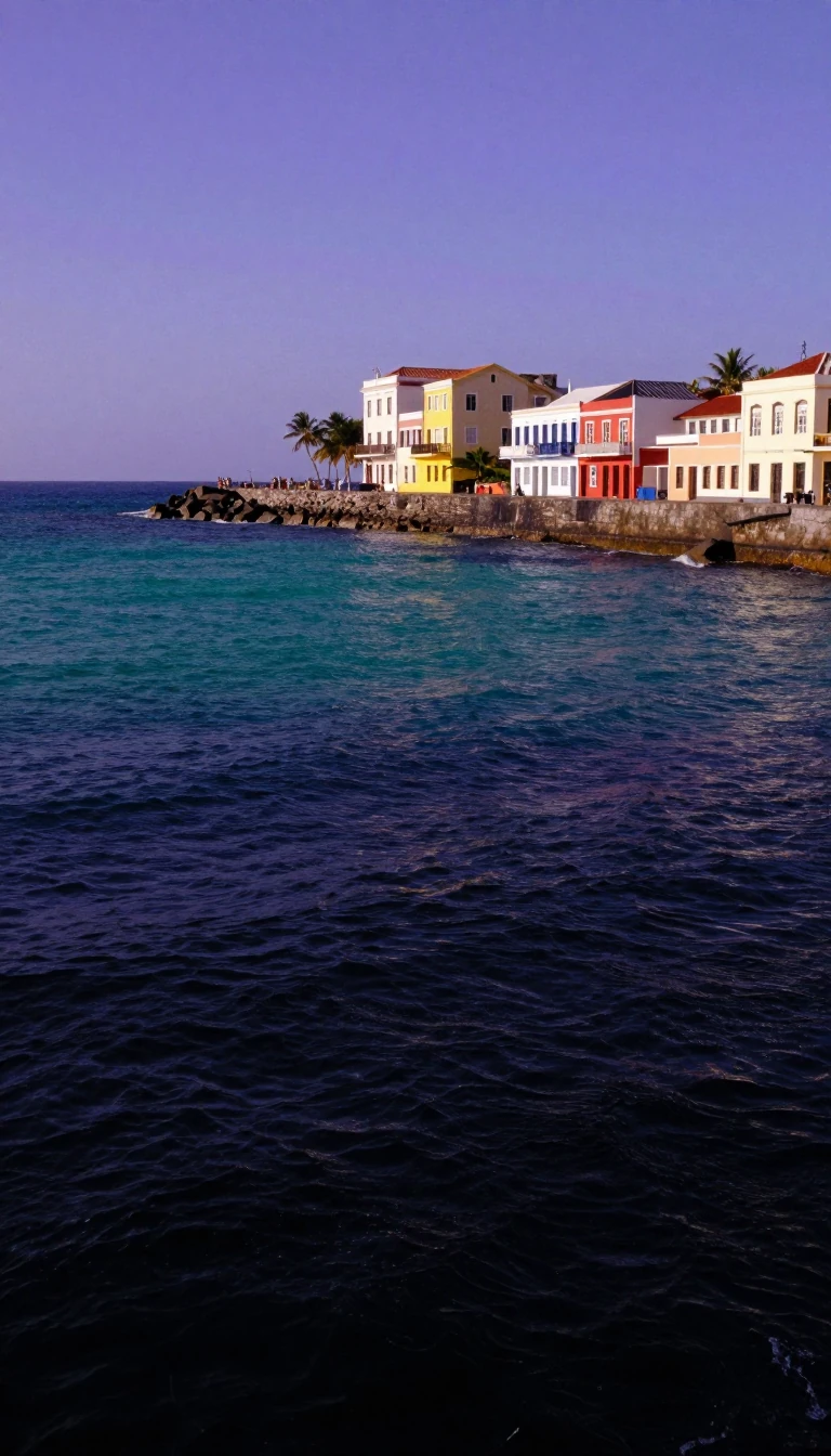 “General Mines” still names Brazil’s gold-rush highland stateMinas Gerais—“General Mines”—is Brazil’s fourth-largest state by area and second-most populous, with 20,539,989 residents counted in the 2022 census. Its capital, Belo Horizonte, …
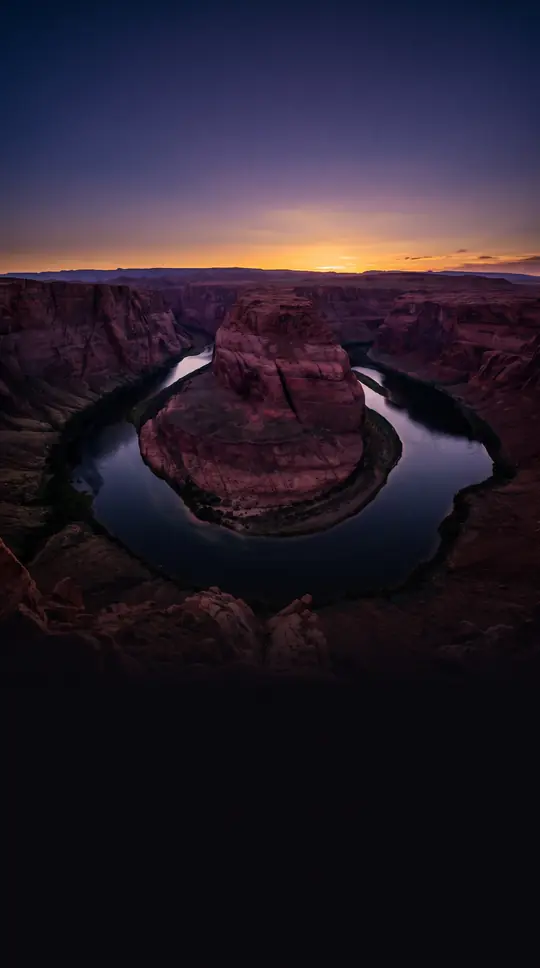 A Carpathian principality split into three modern mapsMoldavia—Romanian Moldova or Țara Moldovei—was a historical Eastern European principality between the Eastern Carpathians and the Dniester. Its west is now Romania, its east the R…
 Bessarabia’s heir keeps a river name and a frozen breakawayThe Republic of Moldova is a landlocked Eastern European state of 33,843 square kilometres and about 2.38 million people, wedged between Romania and Ukraine. Most of its land sat …
 Heracles’ “solitary” harbour became Europe’s pricey microstateMonaco, a sovereign city-state on the French Riviera, is a semi-enclave edged by France on three sides and the Mediterranean on the south, with Liguria not far east. Prince Albert…
 Genghis Khan’s homeland is still nearly a third nomadicMongolia, landlocked between Russia and China, covers 1,564,116 square kilometres—eighteenth-largest country and second-largest landlocked state after Kazakhstan. About thirty per…
 Venice’s “Black Mountain” calque still names a NATO Balkan stateMontenegro covers 13,883 square kilometres and about 633,158 people across twenty-five municipalities on the Balkan Peninsula. Its English name is a translation of a Venetian rend…
 Marrakesh’s name became a kingdom with Atlantic and Mediterranean coastsMorocco—the Kingdom of Morocco—anchors the Maghreb with Mediterranean and Atlantic shores, bordering Algeria and facing Spanish Ceuta, Melilla, and Peñón de Vélez. Human fossils t…
 An Arab trader’s island name stuck to a Southeast African coastMozambique, on Southeast Africa’s Indian Ocean shore, borders Tanzania, Malawi, Zambia, Zimbabwe, Eswatini, and South Africa. Portuguese Moçambique came from Mozambique Island, it…
- Saudi Arabia’s highland heart raised the House of SaudNajd, Arabic for “highland,” is the historical centre of the Arabian Peninsula, covering most of interior Saudi Arabia between Hejaz, the Nafud, ad-Dahna, and the Empty Quarter. A…
 Sub-Saharan Africa’s driest country mines diamonds sparselyNamibia, Southern Africa’s Atlantic republic, borders Angola, Zambia via the Caprivi Strip, Botswana, and South Africa, with Zimbabwe less than 200 metres away near Kazungula. The…
- Phosphate wealth strip-mined Earth’s third-smallest countryNauru, officially renamed the Republic of Naoero in 2026, is a Micronesian microstate in the South Pacific about 300 kilometres west of Banaba, with Yaren as de facto capital. At …
 A Himalayan republic may take its name from a protecting sageNepal, a landlocked South Asian federal republic, sits mostly in the Himalayas with an Indo-Gangetic fringe, between Chinese Tibet and India. Before unification, the name meant on…
- “Lower countries” keep a quarter of the land under the seaThe Netherlands—informally Holland—is Northwestern Europe’s low country and the largest constituent of the Kingdom of the Netherlands, with twelve provinces and Caribbean overseas…
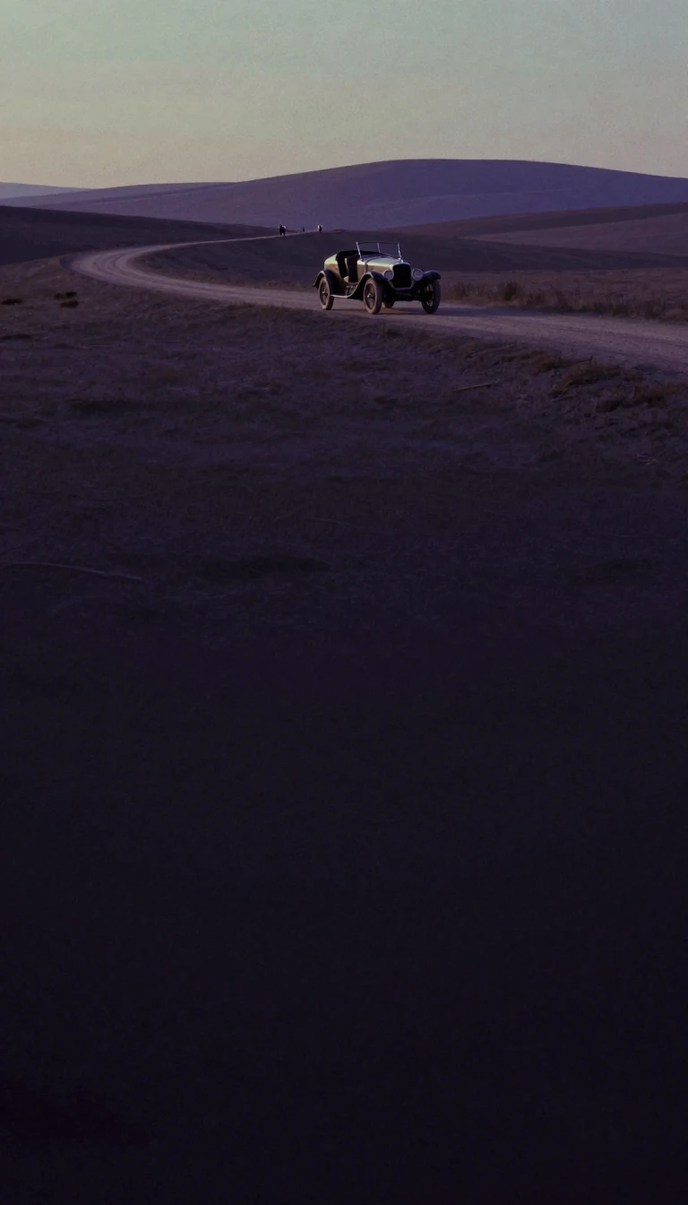 A Thirteen Colonies heir draws the most U.S. touristsNew York State, in the Northeastern United States, touches New England, Pennsylvania, New Jersey, Canada, the Atlantic, and the Great Lakes. Fourth-most populous among the states …
- The last large land settled first gave women the voteNew Zealand—Aotearoa in Māori—comprises North Island (Te Ika-a-Māui), South Island (Te Waipounamu), and over 700 lesser islands in the southwestern Pacific. The sixth-largest isla…
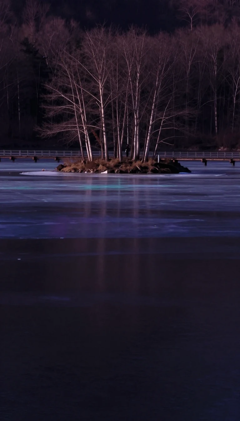 An ice-bridged island whose woods fell below Europe’s averageIreland is a North Atlantic island split geopolitically between the Republic of Ireland—about five-sixths of the land—and Northern Ireland in the United Kingdom. Low mountains rin…
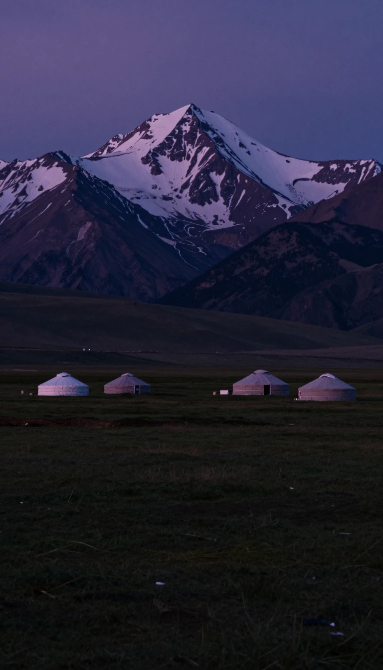 Kyrgyzstan’s “hot lake” is the world’s second-largest mountain lakeIssyk-Kul—Ysyk-Köl, “Hot Lake” in Kyrgyz—is an endorheic saline lake in eastern Kyrgyzstan’s western Tian Shan. Eighth-deepest on Earth and second-largest mountain lake after Titi…
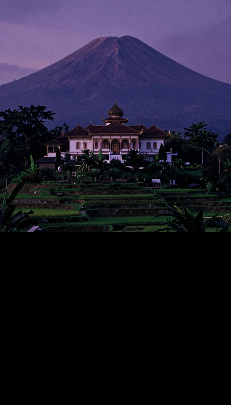 One volcanic island holds half of Indonesia’s peopleJava, a Greater Sunda island between the Indian Ocean and the Java Sea, is Earth’s most populous island—about 159.2 million people, roughly 56% of Indonesia. The Australian Plate …
 Asia’s tiniest country scatters across ninety thousand sea kilometresThe Maldives—Republic of Maldives, once the Maldive Islands—is a South Asian archipelago in the Indian Ocean near the Arabian Sea’s southeastern edge, southwest of India and Sri L…
 Sahara’s southern empire belt became Africa’s eighth-largest stateMali, a landlocked West African republic of 1,240,192 square kilometres, ranks eighth-largest in Africa and twenty-third worldwide. Its north stabs deep into the Sahara while most…
 A honey-named city-state has been inhabited since 6500 BCMalta, a central Mediterranean republic of Malta and Gozo, lies between Sicily’s southern approaches, Tunisia’s east, and Libya’s north. Official languages are Maltese and English…
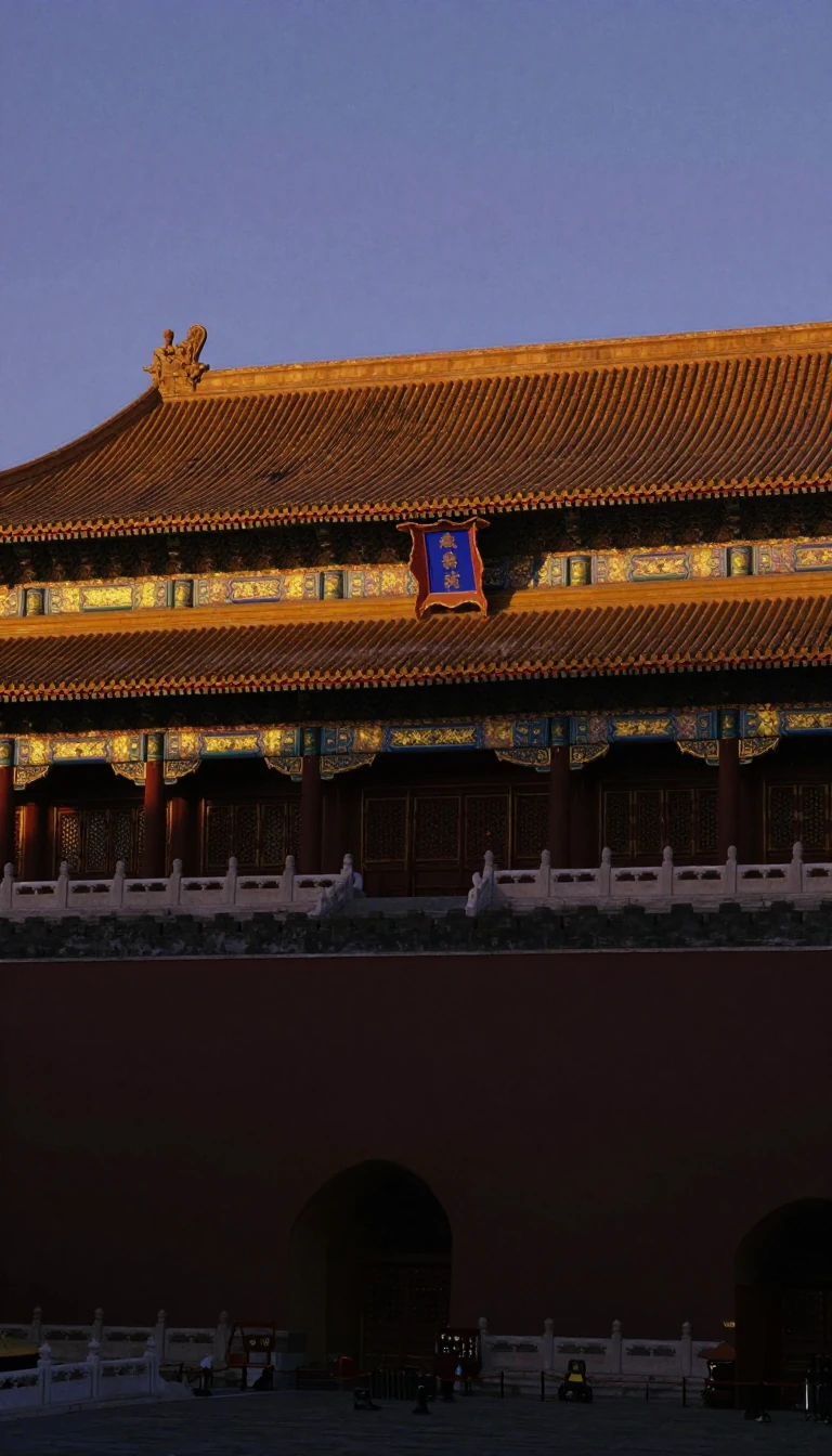 A Japanese exonym still labels the Jurchen-Manchu homelandManchuria names a Northeast Asian historical region covering today’s Northeast China and a slice of Russia’s Far East below the Uda River and the Tukuringra-Dzhagdy mountains. The…
 Lagoon water is 98.47 percent of this Pacific republicOfficially a republic, the Marshall Islands form a Micronesian archipelago west of the Date Line and north of the equator. Its 29 coral atolls, 1,220 lesser islets and five main i…
 A Maghreb republic borrowed Rome’s Mauretania—without overlapping itMauritania, the Islamic Republic on West Africa’s Atlantic Maghreb edge, borders Western Sahara, Algeria, Mali, and Senegal. Its English name echoes Latin Mauretania, an ancient M…
 Africa’s only Hindu-majority country sits east of MadagascarMauritius, an Indian Ocean republic roughly 2,000 kilometres off southeastern Africa east of Madagascar, includes the main island plus Rodrigues, Agaléga, and St. Brandon. It is A…
 Dumont d’Urville’s “Black Islands” still name a Pacific arcMelanesia spans the southwestern Pacific from New Guinea to Fiji, including the Arafura Sea, between Southeast Asia, Polynesia, Micronesia, and Australia. Jules Dumont d’Urville c…
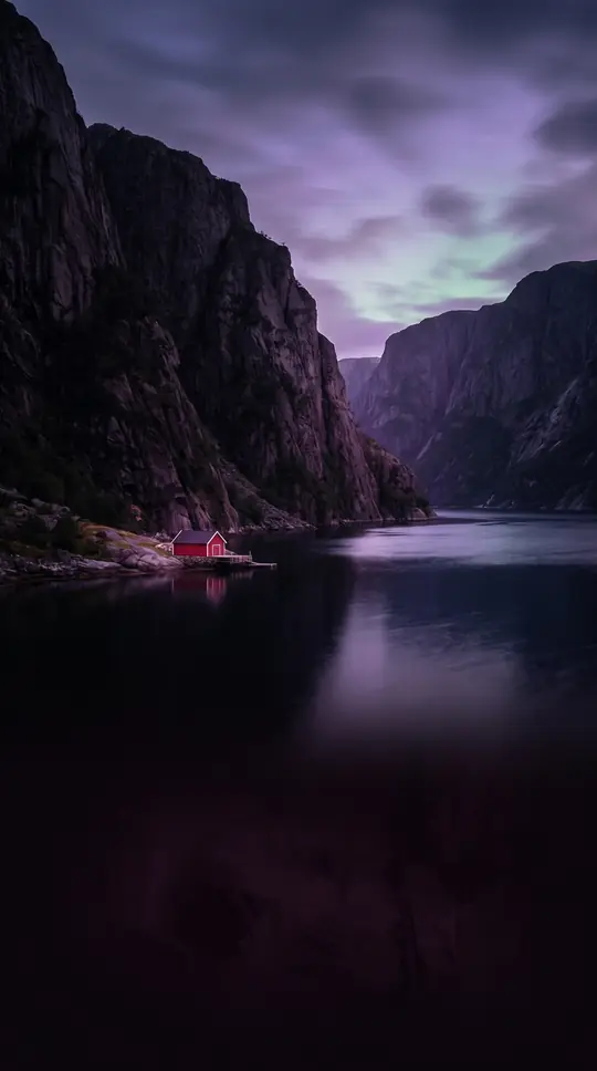 Five Canadian provinces share one great-lakes gateway gulfThe Gulf of St. Lawrence funnels Great Lakes water to the Atlantic through the St. Lawrence River. Its shores touch half of Canada’s ten provinces—Quebec, Nova Scotia, New Brunswi…
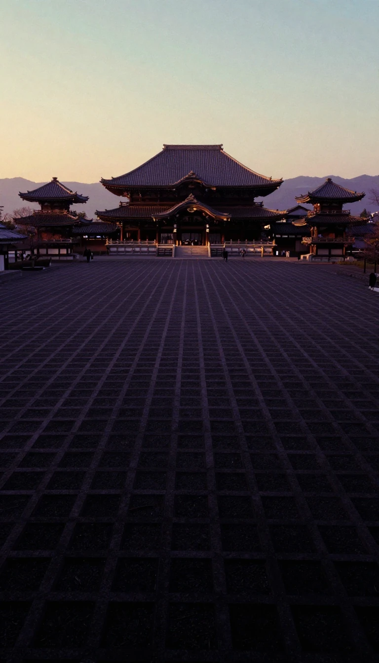 Japan’s main island holds four-fifths of the nation’s peopleHonshu—“main province”—is Japan’s largest island, seventh-largest on Earth, and second-most populous after Java. As of 2025 about 100.7 million residents, 81.9% of Japan’s people,…
 Kuwait means a little fortress by the waterThe State of Kuwait sits at the Persian Gulf’s head with about 500 kilometres of coast on Arabia’s northeast corner. Its Arabic name is a diminutive of kut—a fortress near water—a…
- Kyrgyzstan may mean forty tribes in Manas’s mountainsThe Kyrgyz Republic is a landlocked Tian Shan and Pamir state bordered by Kazakhstan, Uzbekistan, Tajikistan, and China. One etymology glosses Kyrgyz as “forty tribes,” echoing th…