 Intellect Plus
Countries & Cities
15,123 cards. Each one is a 40-second story with a five-minute read behind it. Page 243 of 253.
Subtopics: Africa · Americas · Ancient cities & ruins · Asia · Australia & New Zealand · Basics · Bodies of water · Canada · Capes · Capital cities · Caribbean & Pacific islands · Castles & palaces · Cathedrals & churches · China · Cities · Countries · Countries and other regions · Countries of the world · Countries: General · Deserts · Eastern Europe · Europe and Russia · Famous landmarks · Famous streets & squares · Flags & symbols · France · Germany & Central Europe · Ghost towns · Greece & Turkey · Historical cities · Historical cities, towns and archaeological sites · India & South Asia · Islands · Isthmuses · Italy · Japan & Korea · Land relief · Major world cities · Maps & cartography · Microstates & enclaves · Middle East · Mountain peaks and volcanos · Mountains · National parks · Non-city settlements · Oceania · Other hydrological features · Other terrestrial features · Parks, preserves, and World Heritage Sites · Peninsulas · Polar regions · Ports & harbours · Regions and country subdivisions · Rivers & lakes · Scandinavia · Seaside towns · South America · Southeast Asia · Spain & Portugal · Technical geography · UK & Ireland: places · UK & Irish cities · United States landmarks · Urban studies and planning · US cities · Vegetation features · World Heritage Sites
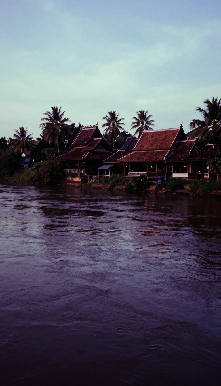 Laos is Southeast Asia’s only landlocked countryThe Lao People’s Democratic Republic is Mainland Southeast Asia’s sole landlocked state, wedged among Myanmar, China, Vietnam, Cambodia, and Thailand. Forested mountains crest at …
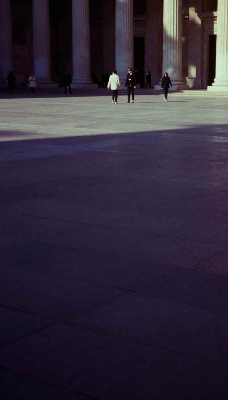 Latin America was coined in the 1850s not by ColumbusLatin America names the cultural belt of the Americas where Romance languages, mainly Spanish and Portuguese, dominate. Because culture rather than latitude defines it, Mexico sit…
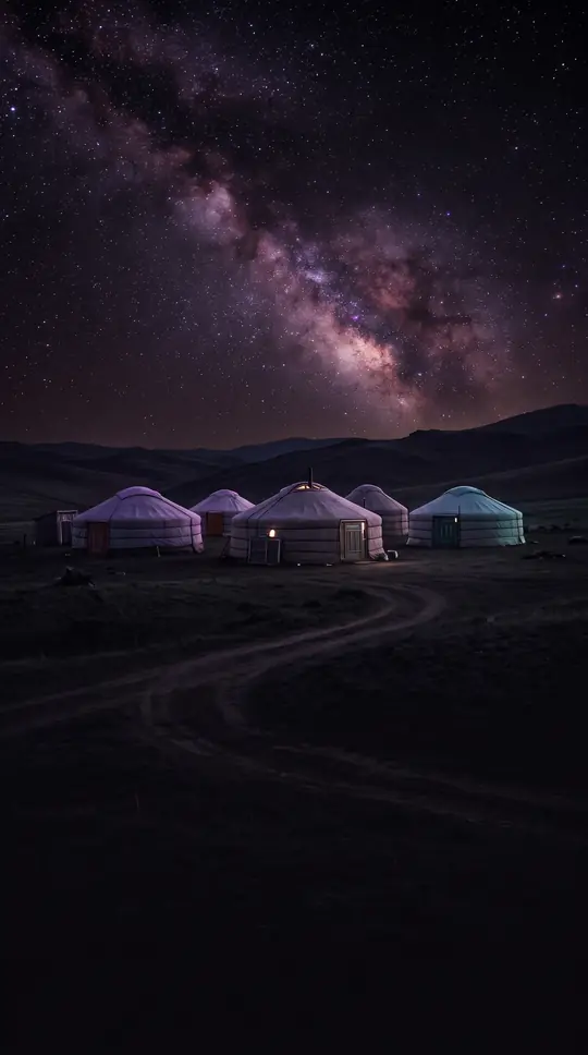
 Latvia’s name remembers the Latgalian tribe among four BaltsThe Republic of Latvia sits between Estonia and Lithuania on the Baltic, edged by Russia and Belarus. Independent since 18 November 1918 after imperial collapse, its name descends…
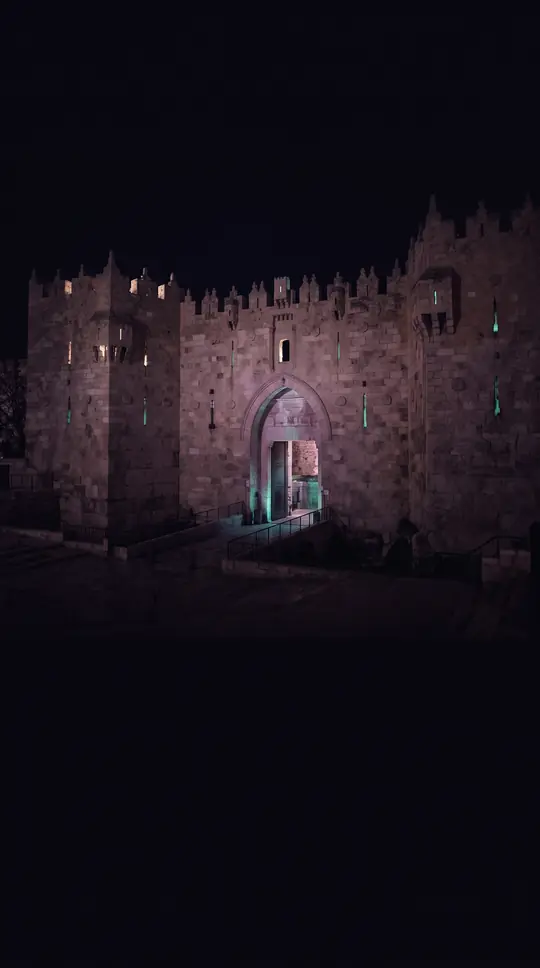
 Lebanon’s mountains were named white in PhoenicianThe Lebanese Republic occupies a Levantine crossroads between the Mediterranean and Arabian worlds, bordered by Syria and Israel. Phoenician lbn meant white, for the snow on Mount…
- Lesotho is a mountain kingdom completely inside South AfricaThe Kingdom of Lesotho is Southern Africa’s largest sovereign enclave, wholly surrounded by South Africa. King Moshoeshoe I forged Basutoland in the 1820s, and British protection …
- Levant meant where Venetian sailors saw the sun riseThe Levant labels the Eastern Mediterranean’s West Asian shore—often Cyprus plus Syria, Lebanon, Jordan, Palestine, Israel, and nearby coasts. English borrowed French levant, “ris…
 Liberia began as an American Colonization Society shorelineThe Republic of Liberia faces the Atlantic between Sierra Leone, Guinea, and Côte d’Ivoire. From 1822 the American Colonization Society steered Black American emigrants there, bui…
- Ramesses II’s rbw became the modern name LibyaThe State of Libya fills Maghreb North Africa between Tunisia and Egypt with a vast Sahara backcountry. Hieroglyphs of Ramesses II already wrote rbw for a Berber confederacy—the r…
 Liechtenstein became sovereign when Germany’s confederation diedThe Principality of Liechtenstein is a tiny Alpine monarchy between Switzerland and Austria, formed in 1719 and fully independent after the German Confederation dissolved in 1866.…
- Lithuania’s name may come from a brook near KernavėThe Republic of Lithuania, a Baltic state on the eastern Baltic shore, first united under Mindaugas, who founded a kingdom on 6 July 1253. English Lithuania hypercorrected Latin L…
 Tiny Luxembourg once put a count on the imperial throneThe Grand Duchy of Luxembourg covers just 2,586 square kilometres—Europe’s seventh-smallest country—yet in 2026 held about 693,916 residents at high density. An eleventh-century c…
 Madagascar rafted from Africa 180 million years agoThe Republic of Madagascar is an Indian Ocean island nation off southeast Africa. Gondwana breakup peeled it from Africa about 180 million years ago and from India near 90 million…
 Malawi means flames—a name Hastings Banda chose at independenceLandlocked Malawi in Southeast Africa borders Zambia, Tanzania, and Mozambique, wrapping much of Lake Malawi’s shore. In Chichewa and Chitumbuka the name means “flames,” selected …
- Malaysia means land of the Malays—split by a federal seaMalaysia is a federal constitutional monarchy of thirteen states and three federal territories, cut by the South China Sea into Peninsular Malaysia and Borneo’s Sabah and Sarawak.…
 Iraq’s name may echo Uruk, humanity’s early megacityOfficially the Republic of Iraq, the country sits on the Tigris–Euphrates plains once called Mesopotamia. From the sixth millennium BCE those rivers nursed Sumer, Akkad, and Babyl…
 Italia once named only a toe of CalabriaThe Italian Republic fills a Mediterranean peninsula braced by the Alps and nearly 800 islands. Greeks first used Italia for land of the Italói tribe in today’s Calabria before th…
- Portuguese maps named a coast for ivory, not for today’s bordersCôte d’Ivoire—Ivory Coast—faces the Gulf of Guinea with political capital Yamoussoukro inland and economic weight on the shore. Fifteenth-century Portuguese skippers tagged West A…
 Xaymaca meant wood and water long before reggae exportsJamaica covers 10,991 square kilometres as the Caribbean’s third-largest island after Cuba and Hispaniola. Ciboney and Taíno voices called it Xaymaca—land of wood and water—before…
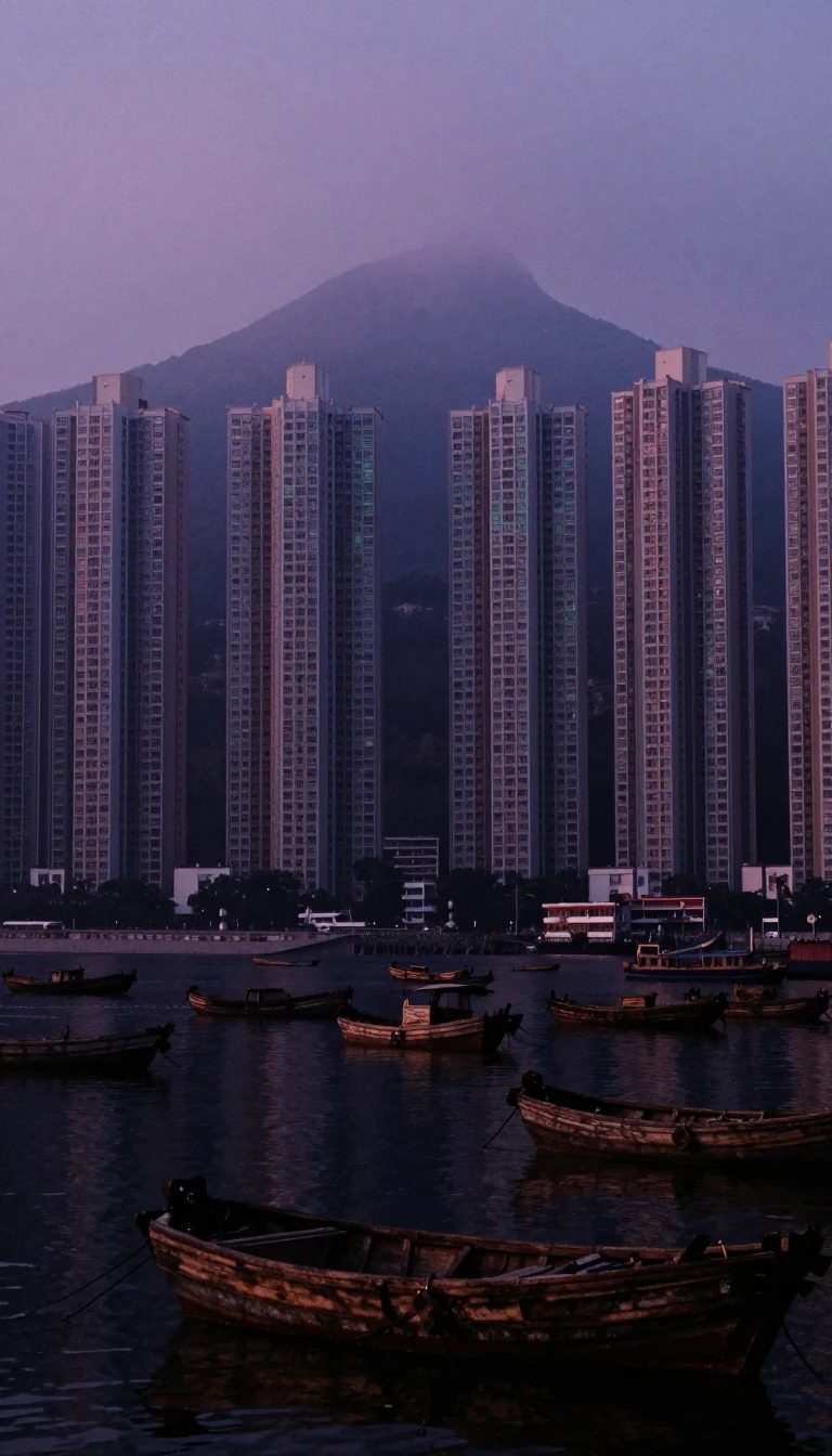 Jiangsu blends Jiangning and Suzhou into China’s canal powerhouseCoastal Jiangsu is China’s third-smallest province yet fourth most populous, with Nanjing as capital. Its name compounds Jiangning and Suzhou—“Pacified Place”—and Grand Canal weal…
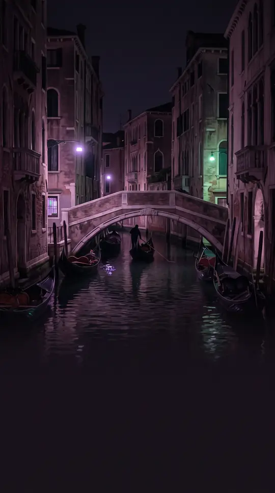 Jordan takes its name from a river already in Ramesses’ papyrusThe Hashemite Kingdom of Jordan covers 89,342 square kilometres of mostly semi-arid Southern Levant, home to about 11.5 million people—the eleventh-most populous Arab country. Its…
- Kaliningrad is Russia’s Baltic exclave built on Teutonic brickKaliningrad Oblast is Russia’s westernmost federal subject—a Baltic semi-exclave on historic Prussian ground. After 1945 the Soviet Union annexed northern East Prussia, expelled i…
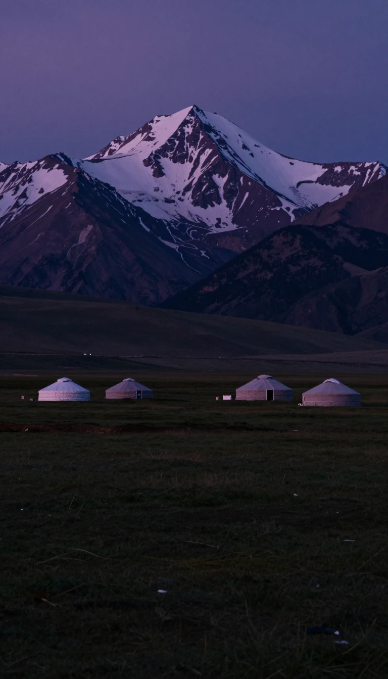 Kazakhstan is the planet’s largest landlocked countryNinth by area worldwide and first among landlocked states, Kazakhstan straddles Central Asia with a toe in Eastern Europe. Turkic qazaq—“free” or “wanderer”—plus Persian -stan, “p…
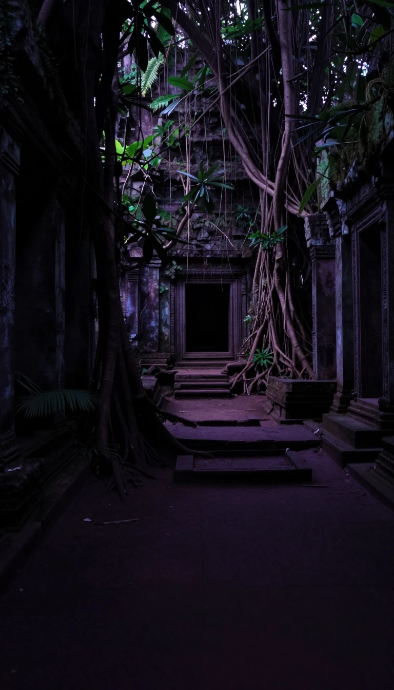 Kenya’s name began as a Kamba word for a snowy mountainEast Africa’s Kenya holds more than 54.2 million people, ranking about twenty-sixth worldwide. German missionary Johann Ludwig Krapf wrote Kenia and Kegnia in the nineteenth centu…
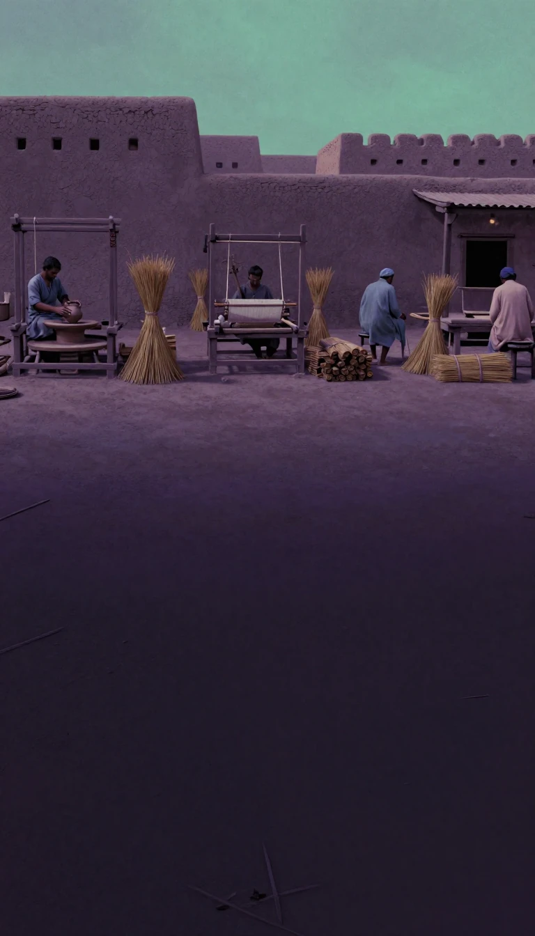 Khorasan meant “where the sun arrives” for Sasanian clerksKhorasan names a shifting eastern Iranian Plateau realm—northeastern Iran, western Afghanistan, and slices of Turkmenistan, Uzbekistan, and Tajikistan. Middle Persian Xwarāsān lit…
 Kiribati’s atolls may drown while half the nation crowds TarawaThe Republic of Kiribati scatters 32 atolls and one raised coral island across Micronesia and Polynesia. Just over 138,000 people appear in the 2026 census, more than half on Tara…
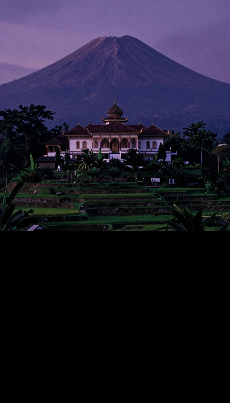 Thirteen to seventeen thousand islands share one motto of unityIndonesia, the world's largest archipelagic state, scatters thousands of islands across Indian and Pacific waters—counts run between roughly thirteen and seventeen thousand. Major…
- Manchu words for inner and outer still split the Mongol mapInner Mongolia Autonomous Region, capital Hohhot, runs along two-thirds of China's border with Mongolia plus a Russian sliver. Established in 1947 from former ROC provinces, it co…
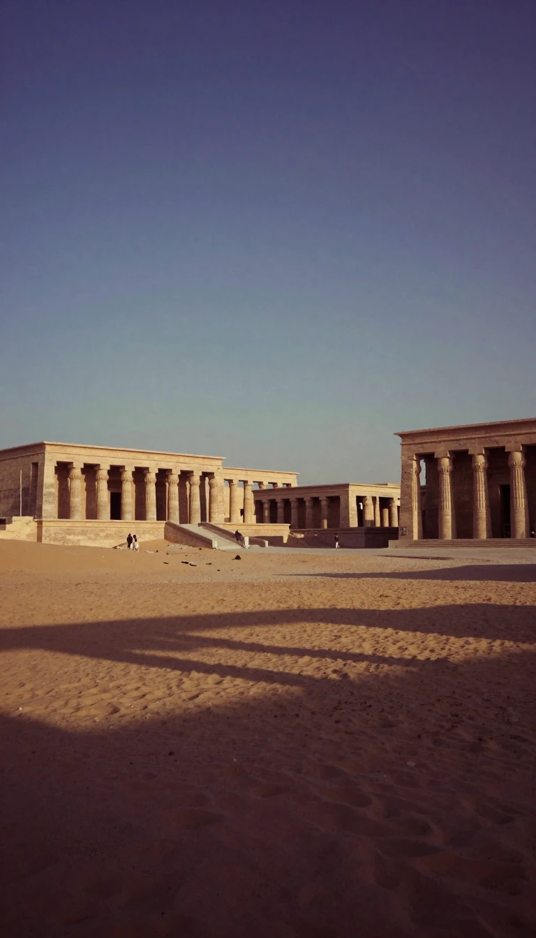 Cyrus's empire still echoes in a plateau once called PersiaIran—historic Persia—occupies a West Asian plateau between Mesopotamia, the Caspian, and the Gulf. The Medes unified the territory in the seventh century BCE; Cyrus the Great's si…
 North and South here are wealth maps, not equator linesGlobal North and Global South group countries by socioeconomic traits—roughly developed versus developing or least developed—not by which side of the equator they occupy. UNCTAD a…
- Ten million people inherit the Mediterranean's longest coastThe Hellenic Republic occupies the Balkan peninsula's southern tip with about ten million people across nine regions and thousands of islands—the Mediterranean's longest coastline…
- A spice isle won independence in 1974, then a 1979 revolutionSouthernmost of the Windwards, Grenada sits about 100 miles north of Trinidad with 344 square kilometres and roughly 114,621 people in 2024 across the main island, Carriacou, and …
 One Chinese province makes over a tenth of mainland GDPCoastal Guangdong, capital Guangzhou, holds about 128.6 million people on roughly 179,800 square kilometres—China's largest provincial GDP and population. In 2024 its CN¥14.16 tri…
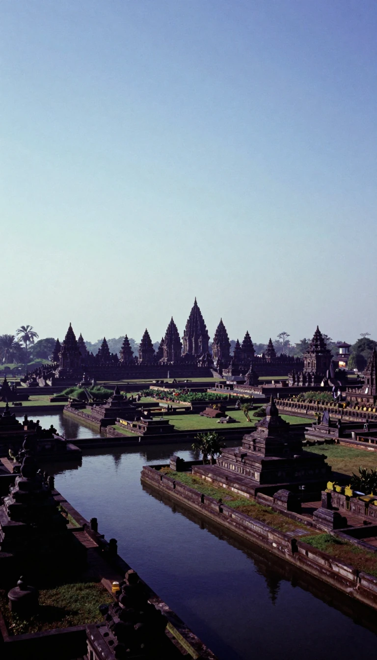 Maya heartland is Central America's most populous republicGuatemala packs about 17.6 million people—the most in Central America—between Mexico, Belize, Honduras, El Salvador, and two oceans. Classic Maya cores rose here before sixteenth-…
- French Guinea kept the regional name after 1958 independenceThe Republic of Guinea faces the Atlantic between Guinea-Bissau, Senegal, Mali, Ivory Coast, Sierra Leone, and Liberia. Independent from France in 1958, it cycled through coups, a…
 Only two percent speak the official language as a mother tongueWest Africa's Guinea-Bissau covers 36,125 square kilometres with roughly 2.08 million people between Senegal and Guinea. Once tied to Kaabu and the Mali Empire, it became Portugue…
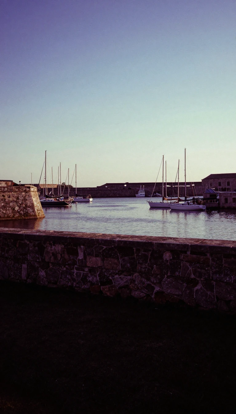 India's longest coast guards twenty-three Indus Valley sitesWestern India's Gujarat stretches about 2,340 kilometres of shore—the nation's longest—mostly around Kathiawar, across some 196,024 square kilometres. No other Indian state holds …
- Oil discovery turned a rainforest republic into a growth rocketCo-operative Republic of Guyana faces the Atlantic between Suriname, Brazil, and Venezuela as part of the Guianas, with capital Georgetown. Third-smallest mainland South American …
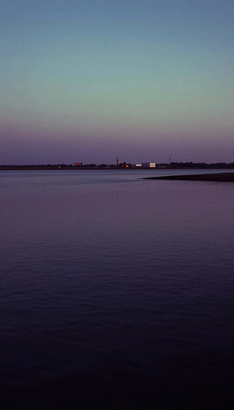 China's southernmost province literally means south of the seaHainan Province pairs its namesake island with hundreds of South China Sea islets—33,920 square kilometres of land, 32,900 on the main island. Split from Guangdong in 1988, it is …
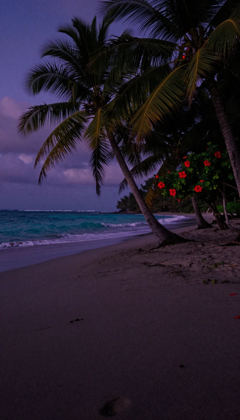 America's only island state sits 2,000 miles off the mainlandHawaii is the sole U.S. state outside the North American continent, a Polynesian archipelago about 2,000 miles southwest of the mainland. One hundred thirty-seven volcanic islands…
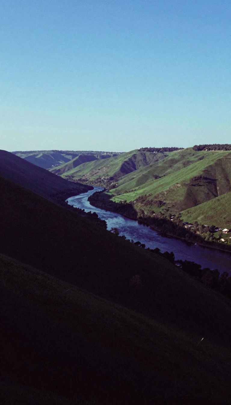 North of the Yellow River, Hebei forges China's steelHebei Province wraps much of the North China Plain north of the Yellow River—its name means exactly that—with over 75 million people, sixth among provinces, and capital Shijiazhua…
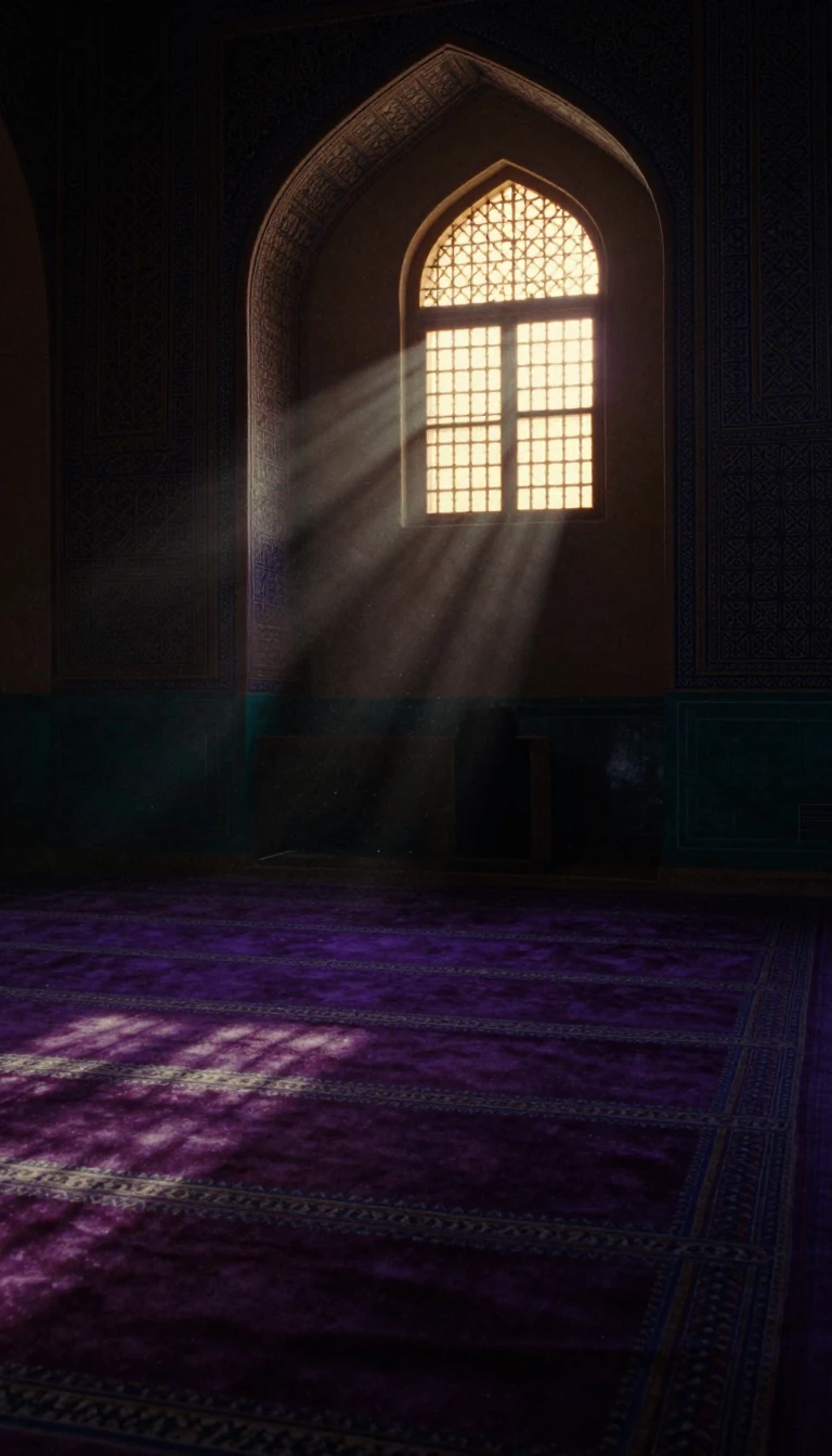 Islam's two holiest cities sit in Arabia's separating ridgeThe Hejaz is western Saudi Arabia's historical province along the Red Sea—home to Mecca and Medina, Islam's first and second holiest cities, plus major ports such as Jeddah. Arabi…
- Central Plains province outranks Turkey in economic scaleHenan—"south of the river"—is China's third-most populous province and the largest inland, with over 99 million people in 2020 across the historic Central Plains core of Chinese c…
 The pope's government is older than the Vatican City microstateThe Holy See—Sancta Sedes—is the Catholic Church's central government and the juridical person behind Vatican diplomacy, distinct from the 1929 Vatican City State created by the L…
- The original banana republic still farms under hurricane skiesCentral America's Honduras sits between Guatemala, El Salvador, Nicaragua, and two seas. Maya and other Mesoamerican cultures preceded sixteenth-century Spanish rule; independence…
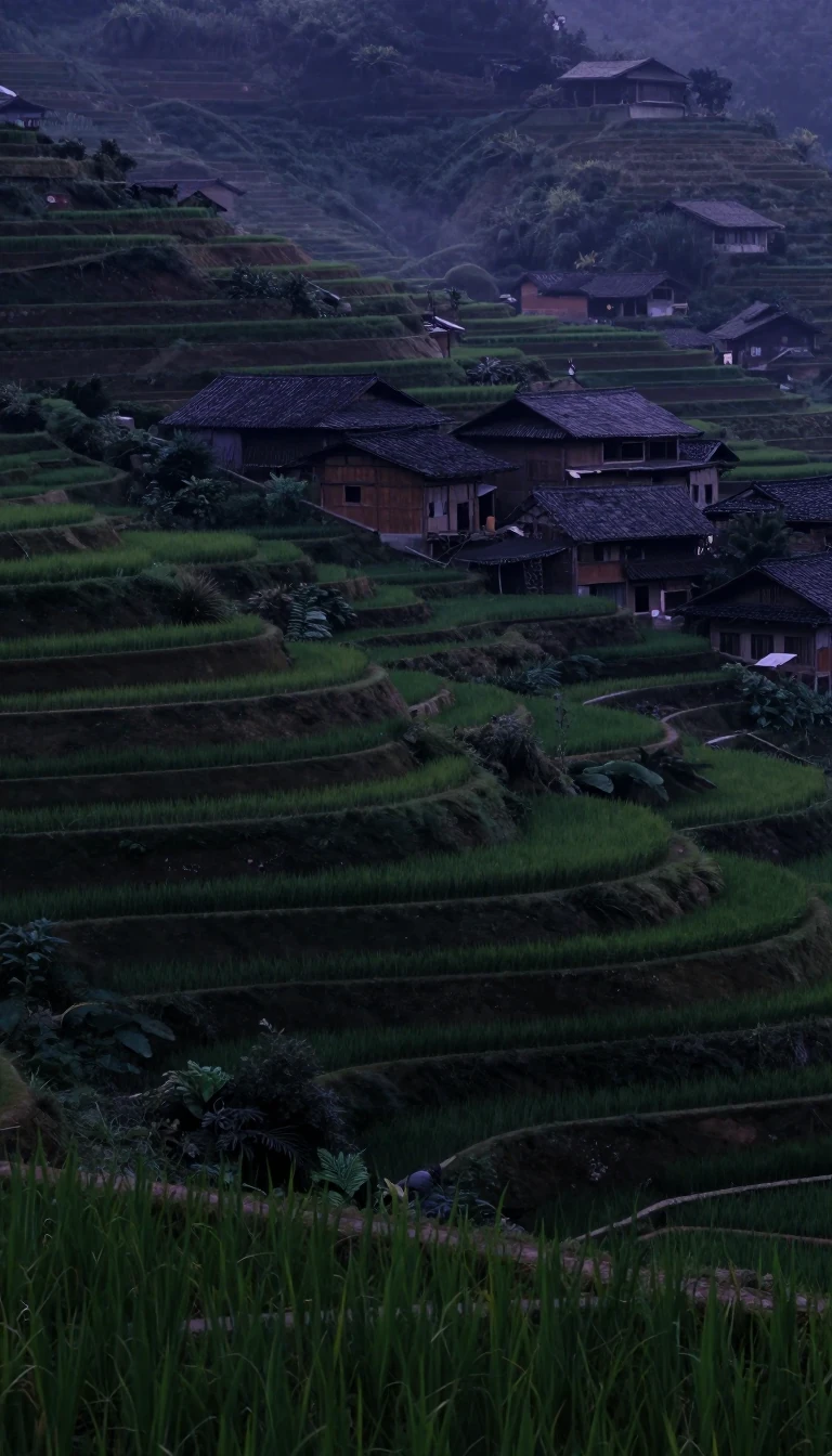 North of Dongting Lake, Chu once faced Qin's rising armiesHubei means north of the lake—Dongting—and ranks among China's larger inland economies with Wuhan as hub. Western Zhou's state of E lends historical resonance; Spring and Autumn C…
 South of Dongting, Hunan's economy tops many nationsHunan—south of Dongting Lake—holds just over 66 million people on about 210,000 square kilometres, China's seventh-most populous province, with capital Changsha. Recent nominal ou…
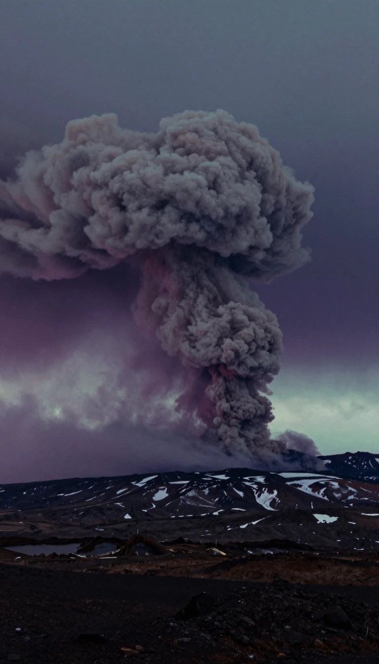 Europe's westernmost country began with a 874 land-takeIceland rides the Mid-Atlantic Ridge between Arctic and North Atlantic waters—Europe's westernmost and most sparsely peopled country. Reykjavík holds about 35 percent of residents…
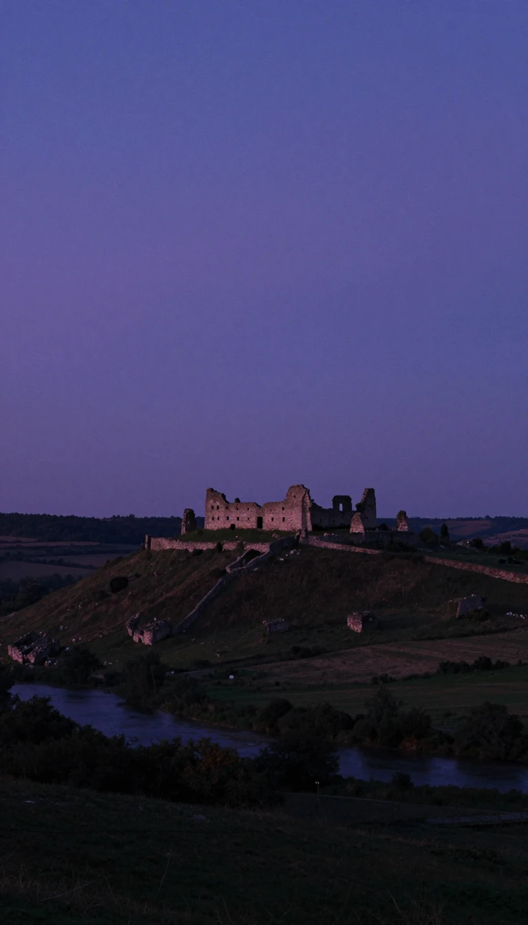 The world's largest population fills its seventh-largest countryThe Republic of India is South Asia's giant—seventh by area, first by population—washed by Indian Ocean, Arabian Sea, and Bay of Bengal. Modern humans arrived by about 55,000 year…
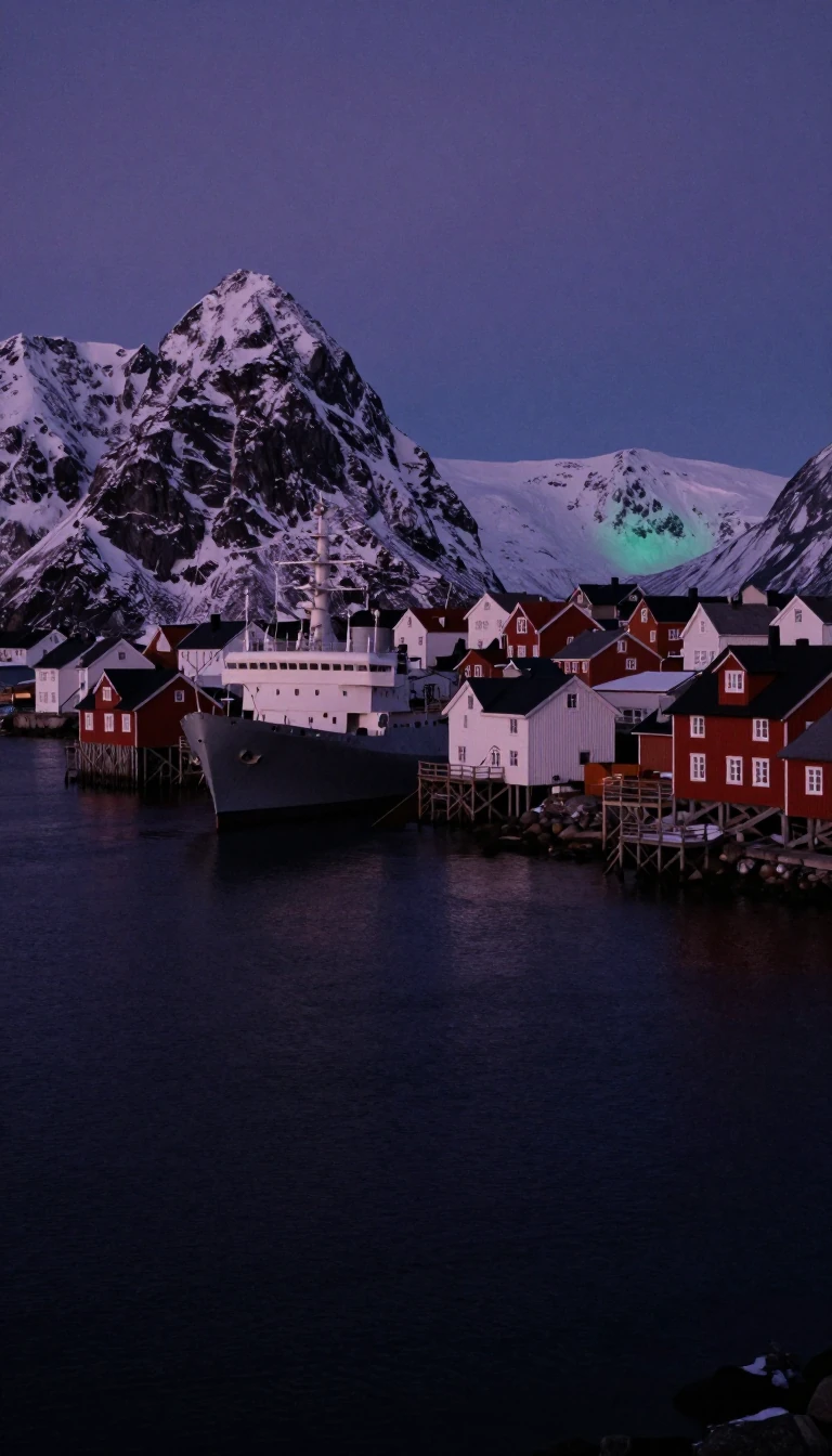 Canada's northern tip holds only 144 year-round residentsEllesmere is Canada's northernmost island, third-largest nationally and tenth worldwide, covering about 197,790 square kilometres—nearly Britain's size. In 2021 just 144 people li…
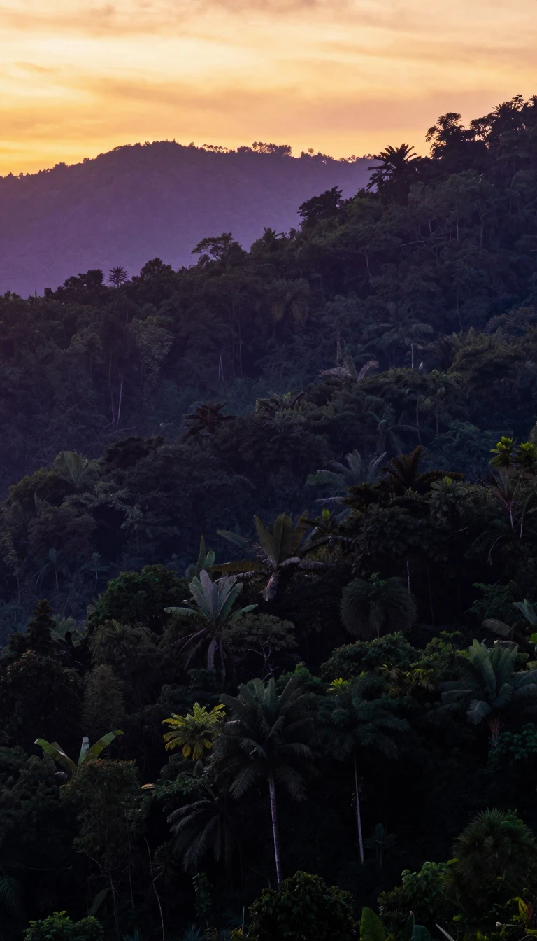 Europe's spaceport sits in a South American rainforest departmentFrench Guiana is an overseas department of France on South America's Guiana coast, bordering Suriname and Brazil. Second-largest French region and the European Union's biggest out…
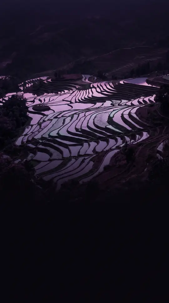 Equatorial oil wealth sits beside deep rural povertyGabon straddles the equator on Central Africa's Atlantic coast beside Equatorial Guinea, Cameroon, and Congo. Independence from France in 1960 brought four presidents; Omar Bongo'…
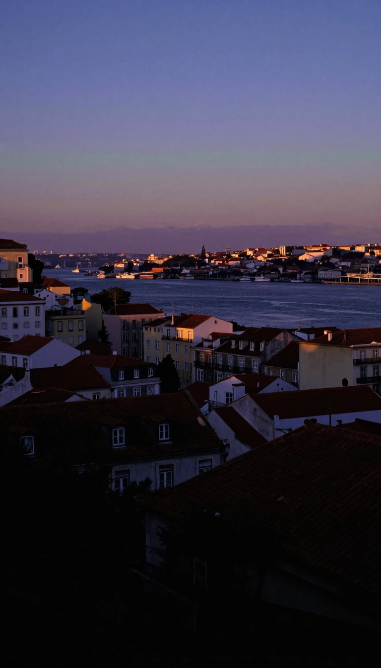 Atlantic Galicia still answers to a Celtic-era people nameSpain's northwestern autonomous community of Galicia—provinces A Coruña, Lugo, Ourense, Pontevedra—faces Portugal and the Atlantic with about 2.7 million people on 29,574 square k…
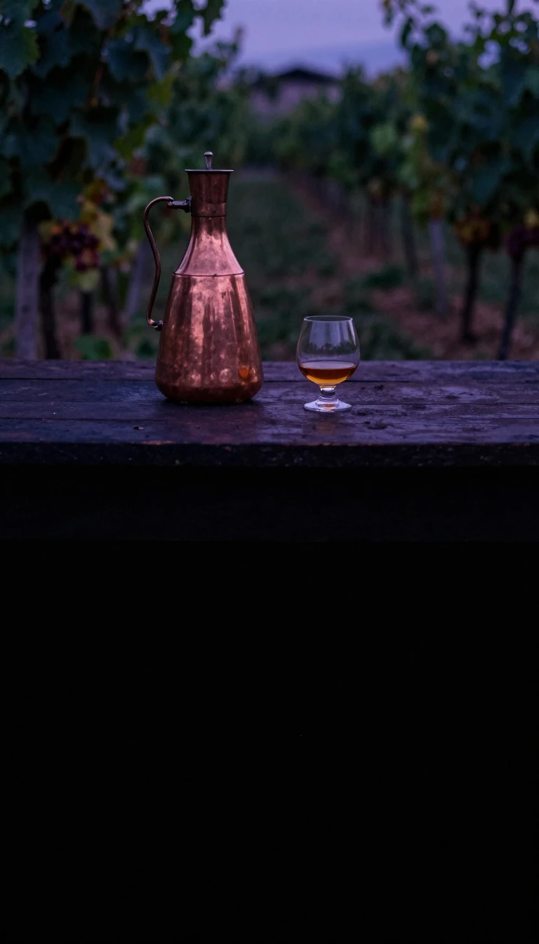 The Caucasus republic that hosted humanity's earliest winemakingGeorgia sits on the Black Sea's east coast at Europe's and West Asia's hinge, generally counted European, with Russia north and Turkey and Armenia south. Prehistoric habitation in…
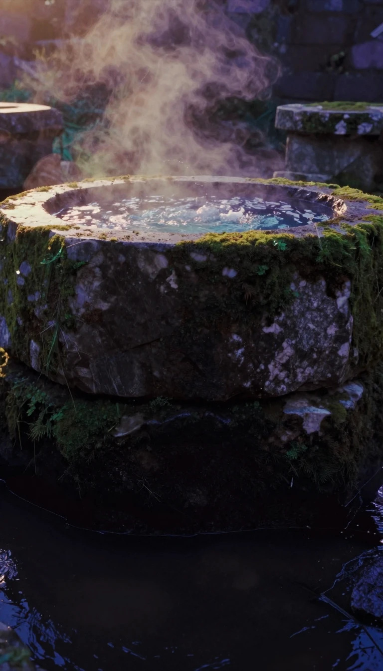 Sixteen states make Europe's most populous EU memberThe Federal Republic of Germany stretches from Baltic and North Sea shores to the Alps, packing over 83 million people across sixteen states—the European Union's largest populatio…
 A modern republic borrowed its name from a medieval gold titleWest Africa's Ghana covers 239,567 square kilometres between Ivory Coast, Burkina Faso, and Togo on the Gulf of Guinea. The English name echoes Wagadu—an empire Arab traders calle…
- A 6.8-square-kilometre rock still divides London and MadridBritish Overseas Territory Gibraltar guards the Mediterranean's Atlantic gate on 6.8 square kilometres at the Iberian tip. The Almohads built a permanent watchtower there in 1160,…
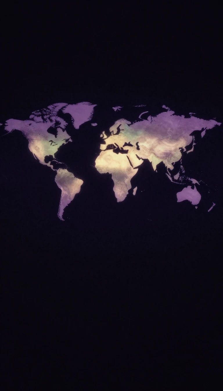 The “East” is a European mirror, not a shared Asian passport“Eastern world,” “the East,” or older “Orient” is an umbrella that shifts by context—often Asia, Mediterranean, and Arab spheres in pre-modern talk, loosely Global South today. Re…
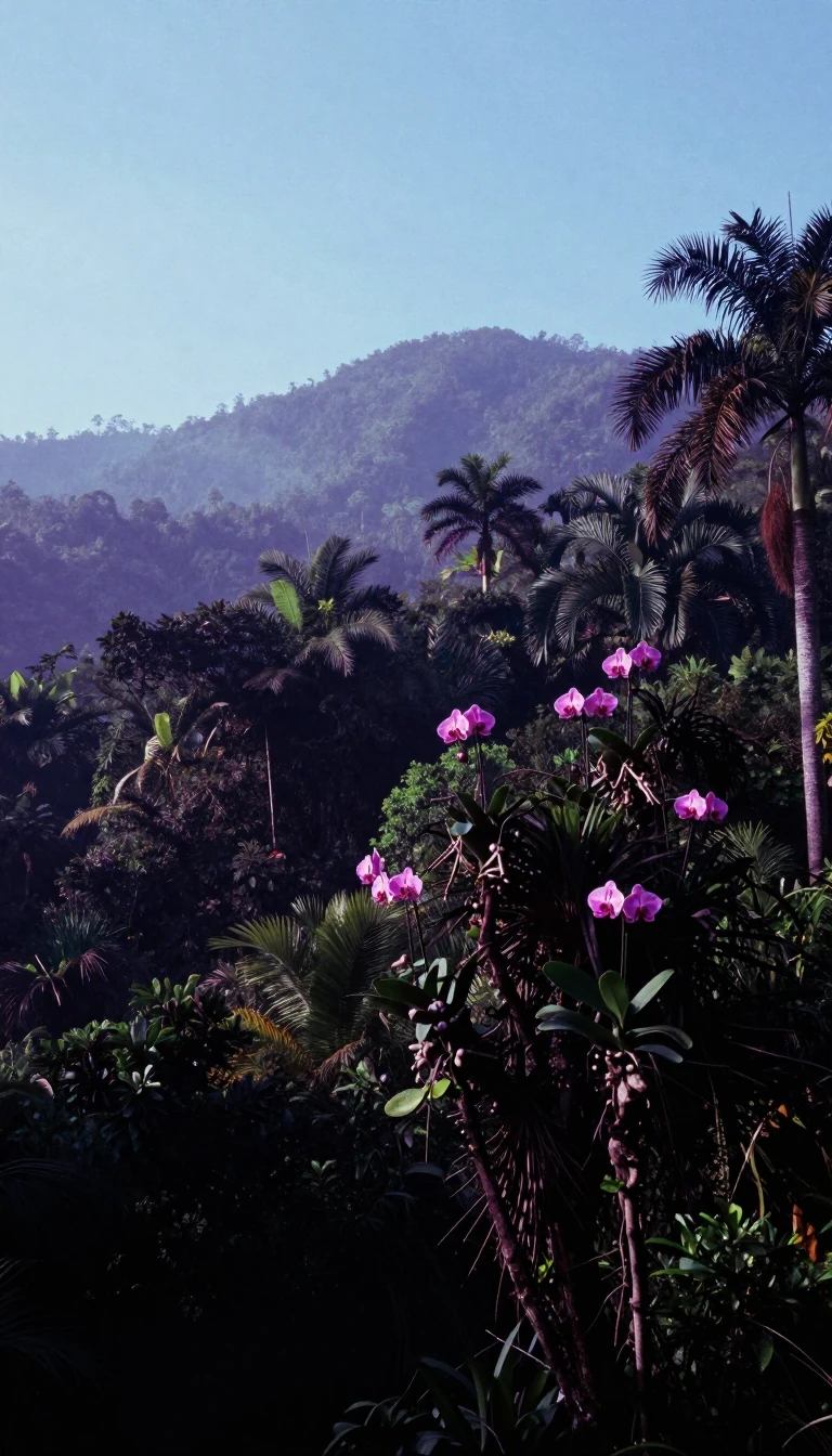 Ecuador’s 2008 charter gave nature enforceable legal rightsEcuador sits on northwestern South America between Colombia, Peru, and the Pacific, plus Galápagos Province about 1,000 kilometres offshore. A plurinational presidential republic,…
- Central America’s smallest coast still wears a “Holy Saviour” nameEl Salvador hugs the Pacific between Guatemala and Honduras, centered on capital San Salvador. Olmec, Maya, and Cuzcatlec layers preceded Pedro de Alvarado’s 1524 conquest; indepe…
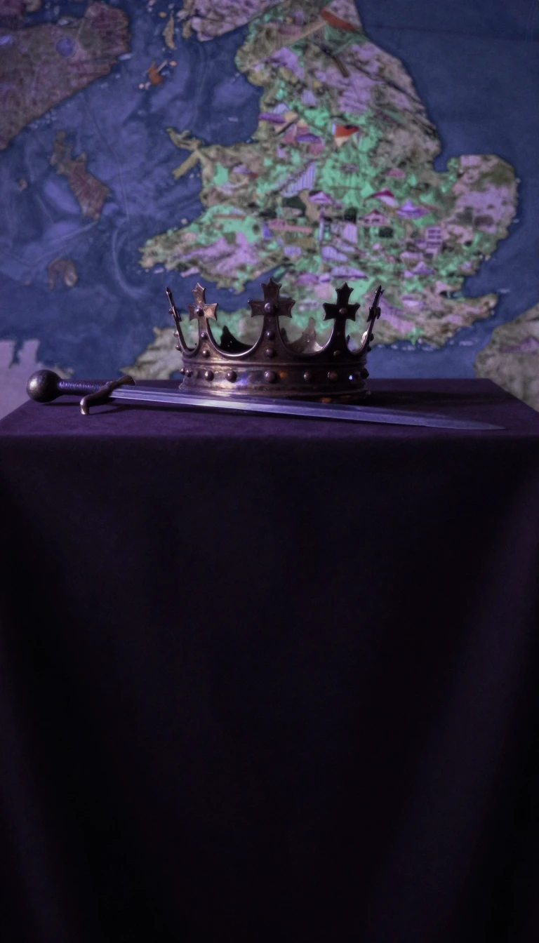 Angles gave England its name—and common law to half the worldEngland covers about 62 percent of Great Britain plus over a hundred lesser isles, bordering Scotland and Wales and facing North Sea, Channel, and Irish Sea. Named for Angles who …