 Intellect Plus
Countries & Cities
15,123 cards. Each one is a 40-second story with a five-minute read behind it. Page 241 of 253.
Subtopics: Africa · Americas · Ancient cities & ruins · Asia · Australia & New Zealand · Basics · Bodies of water · Canada · Capes · Capital cities · Caribbean & Pacific islands · Castles & palaces · Cathedrals & churches · China · Cities · Countries · Countries and other regions · Countries of the world · Countries: General · Deserts · Eastern Europe · Europe and Russia · Famous landmarks · Famous streets & squares · Flags & symbols · France · Germany & Central Europe · Ghost towns · Greece & Turkey · Historical cities · Historical cities, towns and archaeological sites · India & South Asia · Islands · Isthmuses · Italy · Japan & Korea · Land relief · Major world cities · Maps & cartography · Microstates & enclaves · Middle East · Mountain peaks and volcanos · Mountains · National parks · Non-city settlements · Oceania · Other hydrological features · Other terrestrial features · Parks, preserves, and World Heritage Sites · Peninsulas · Polar regions · Ports & harbours · Regions and country subdivisions · Rivers & lakes · Scandinavia · Seaside towns · South America · Southeast Asia · Spain & Portugal · Technical geography · UK & Ireland: places · UK & Irish cities · United States landmarks · Urban studies and planning · US cities · Vegetation features · World Heritage Sites
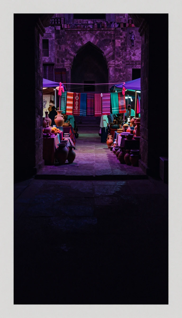 Carthage’s shore lit the first spark of the Arab SpringTunisia, a Maghreb republic between Algeria, Libya, and a long Mediterranean coast, also faces Italy across Sicilian waters. Berbers were early inhabitants; Phoenicians from the t…
 Anatolia’s republic still bridges Black Sea and MediterraneanTurkey, officially Türkiye, occupies mainly Anatolian West Asia with East Thrace in Southeast Europe, touching the Black Sea, Mediterranean, and neighbours from Greece and Bulgari…
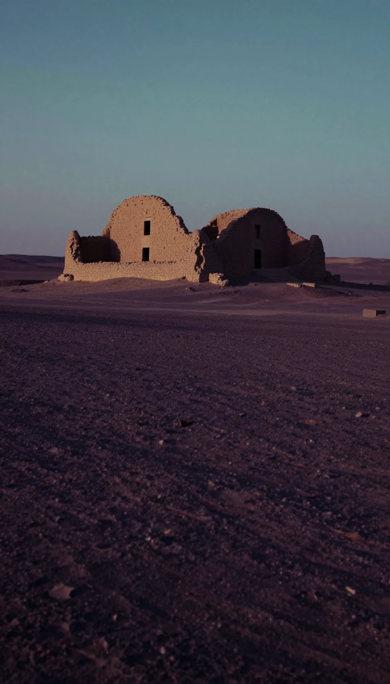 Silk Road Merv once ranked among the world’s largest citiesTurkmenistan, a landlocked Central Asian Turkic state, borders Kazakhstan, Uzbekistan, Afghanistan, Iran, and the Caspian Sea, with Ashgabat as capital. Oasis city Merv was among …
 Italy’s Renaissance cradle is still the second-most-visited regionTuscany covers 22,987 square kilometres with 3,659,222 people—Italy’s ninth-most populous and fifth-largest region—centred on Florence. Treated as birthplace of the Italian Renais…
 Ten thousand Polynesians hold nine scattered Pacific platformsTuvalu, midway between Hawaii and Australia, joins three reef islands and six atolls between 5°–10° S and 176°–180°, west of the Date Line. The 2022 census counted 10,643 people—t…
 Buganda’s namesake republic still seats Kampala by the lakesUganda, a landlocked East African republic, borders Kenya, South Sudan, DRC, Rwanda, and Tanzania, with a substantial share of Lake Victoria in the south. Named for the Buganda ki…
 Seven emirates built a hub where only one in nine is EmiratiThe United Arab Emirates, a federal semi-constitutional monarchy of seven emirates with Abu Dhabi as capital, sits at the Arabian Peninsula’s eastern tip beside Oman and Saudi Ara…
 A Slavic highland makes more than a million cars a yearSlovakia, a landlocked Central European republic of about 49,000 square kilometres and more than 5.4 million people, borders Poland, Ukraine, Hungary, Austria, and Czechia. In 202…
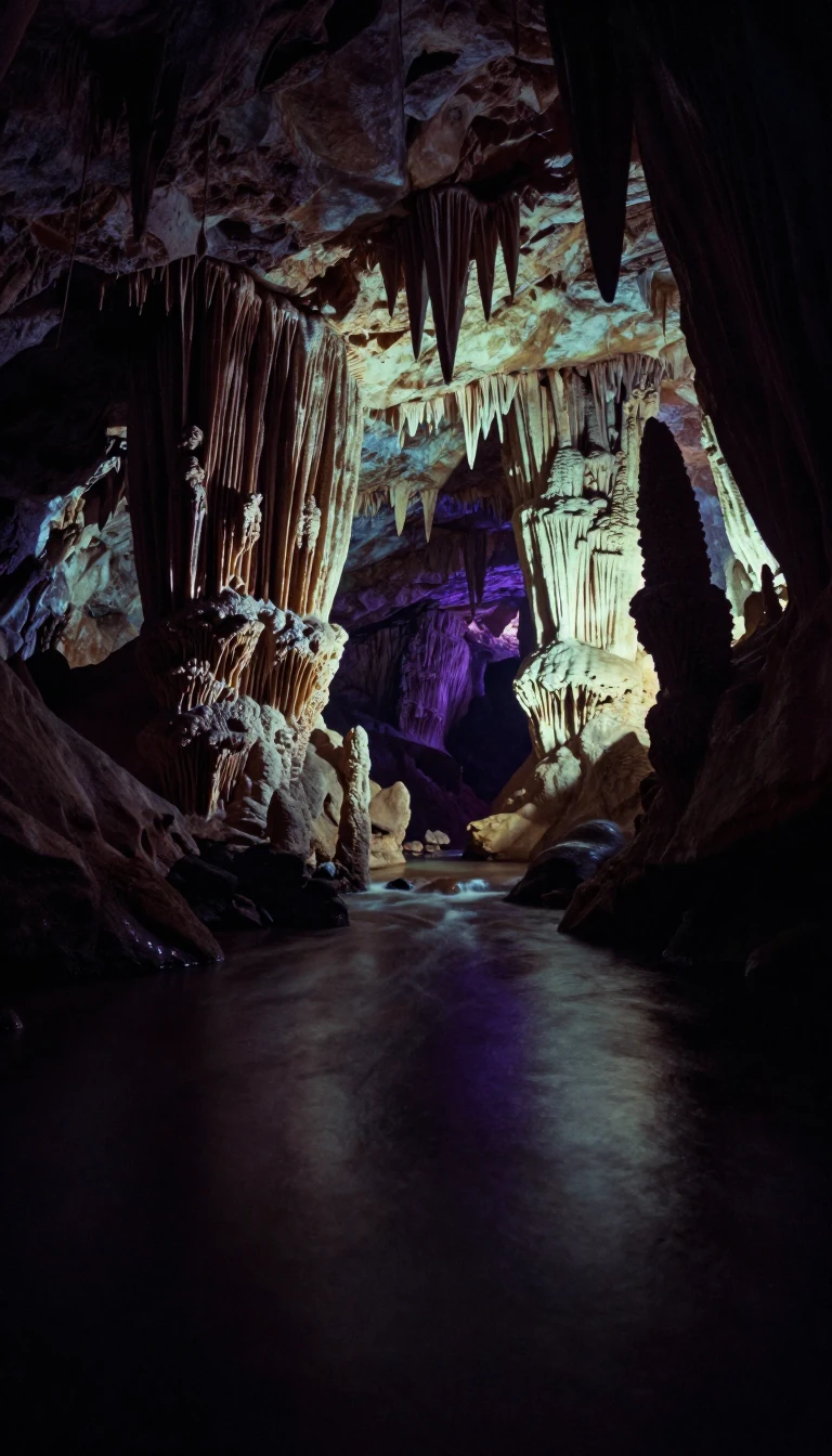 A pocket Adriatic state keeps Europe’s oldest wooden wheelSlovenia, a mostly mountainous and forested Central European country of about 2.1 million, touches Italy, Austria, Hungary, and Croatia, with a 46.6-kilometre Adriatic coast. Slav…
 Pleistocene settlers met Spanish gold dreams in MelanesiaSolomon Islands spans six major and over a thousand lesser Melanesian isles northeast of Australia, beside Bougainville, Vanuatu, and Fiji. People arrived by about 30,000–28,800 B…
- Africa’s biggest economy sits on a 2,798-kilometre shoreSouth Africa, the continent’s southernmost state, wraps about 2,798 kilometres of Atlantic and Indian Ocean coast around nine provinces and more than 63 million people—Africa’s si…
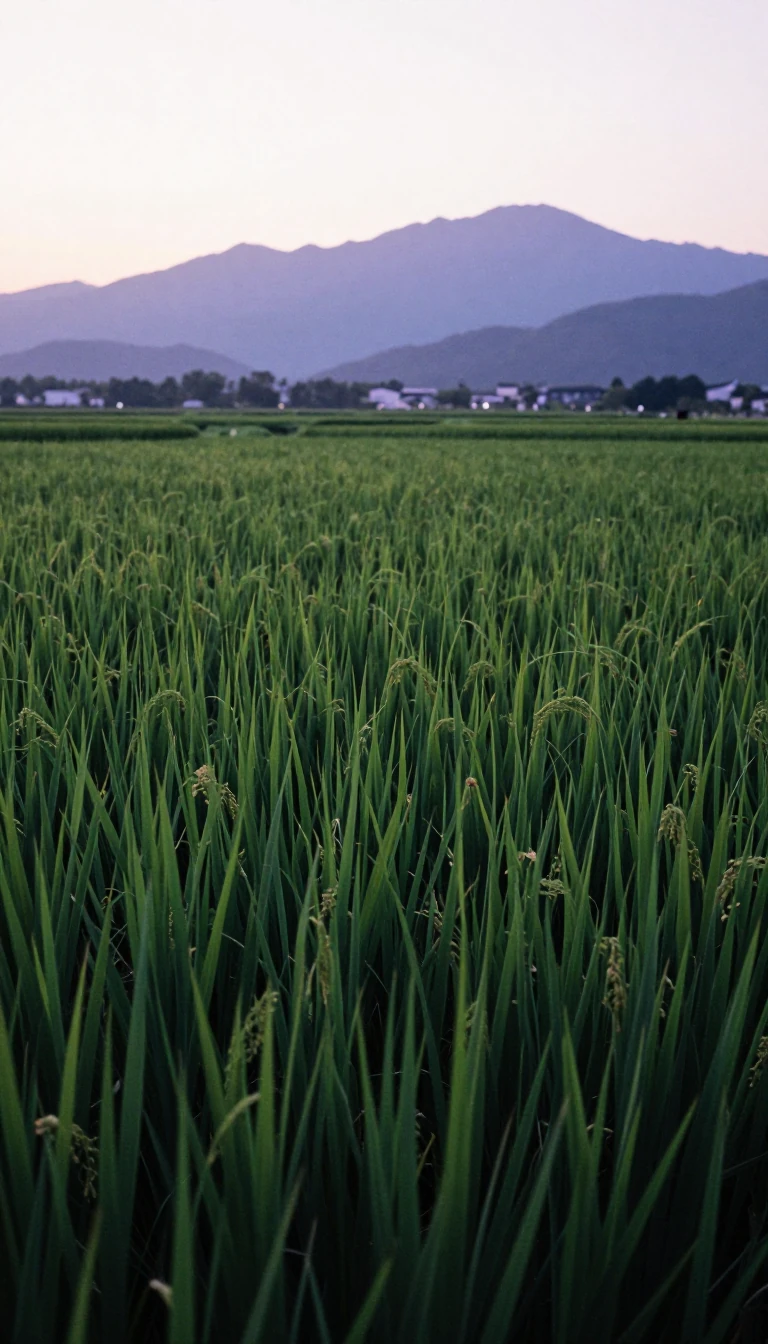 One Asian subregion holds a quarter of all humansSouth Asia usually means seven states, India, Pakistan, Bangladesh, Nepal, Sri Lanka, Bhutan and the Maldives, home to about 2.04 billion people, a quarter of humanity, on 5.2 mil…
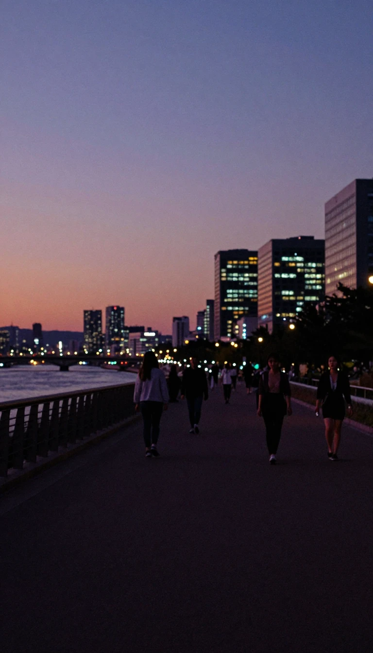 Half the republic crowds into the world’s ninth metroSouth Korea, the Republic of Korea on the southern Korean Peninsula, counts about 52 million people—half in the Seoul metropolitan area, the world’s ninth-most populous metro—betw…
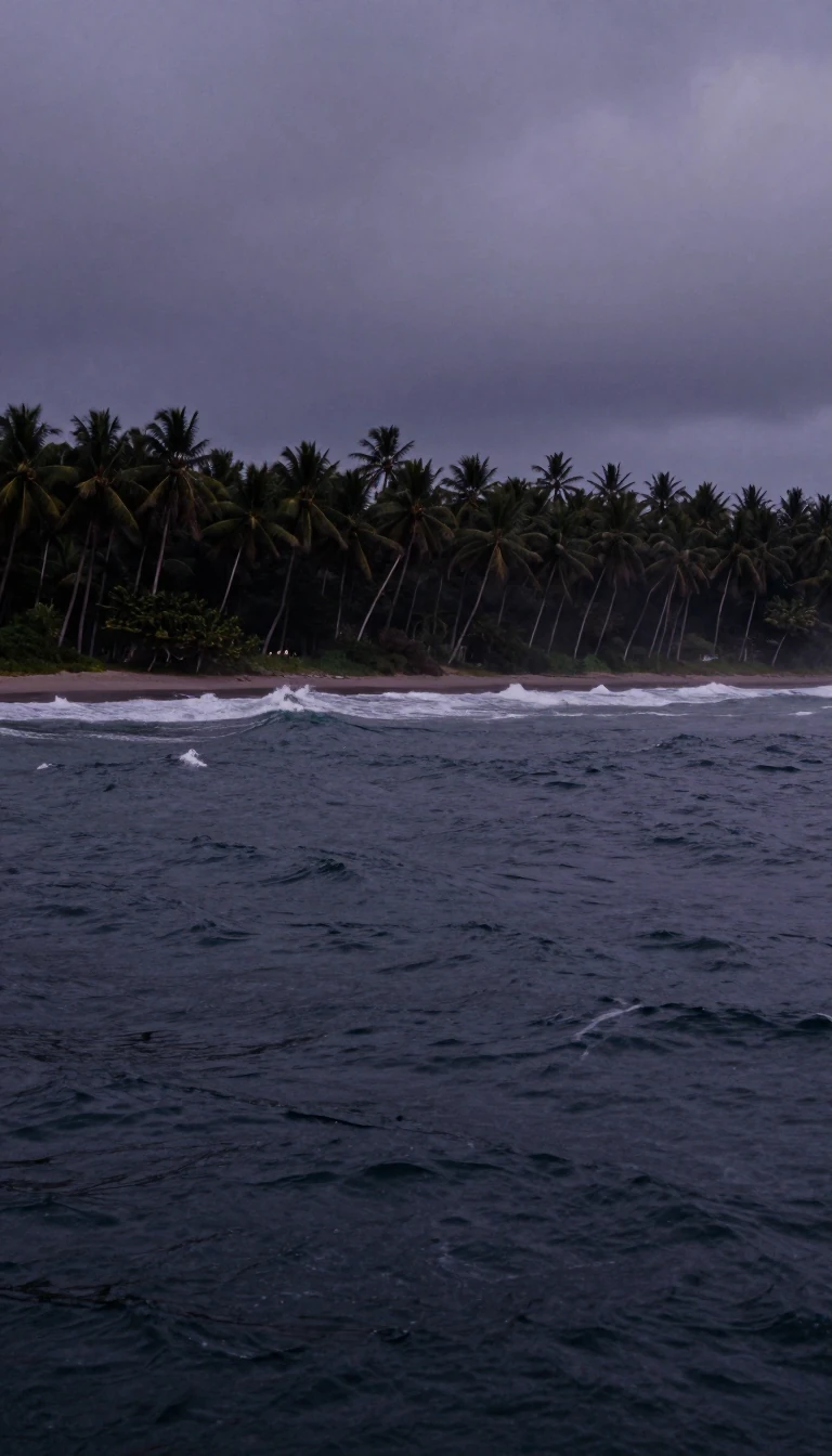 A quake-prone crossroads holds 676 million peopleSoutheast Asia, south of China and east of India, covers about 4.5 million square kilometres—nearly 10 percent of Asia and 3 percent of Earth’s land—yet holds some 676 million peo…
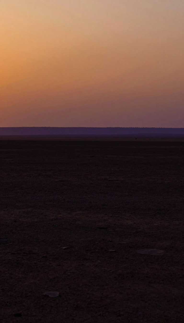 Capricorn splits this region’s subtropical and temperate halvesSouthern Africa, Africa’s southernmost region, lacks one agreed border yet often includes Angola through South Africa and island states in UN, SADC, or physical-geography lists. T…
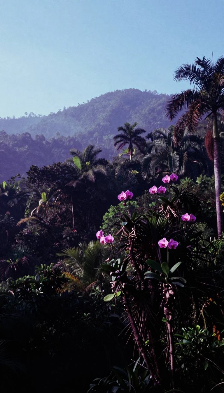 South America’s cone ranks second in the Americas for living standardsCalled Cono Sur in Spanish and Cone Sul in Portuguese, the Southern Cone takes in South America's southernmost lands, mostly below the Tropic of Capricorn, and traditionally means…
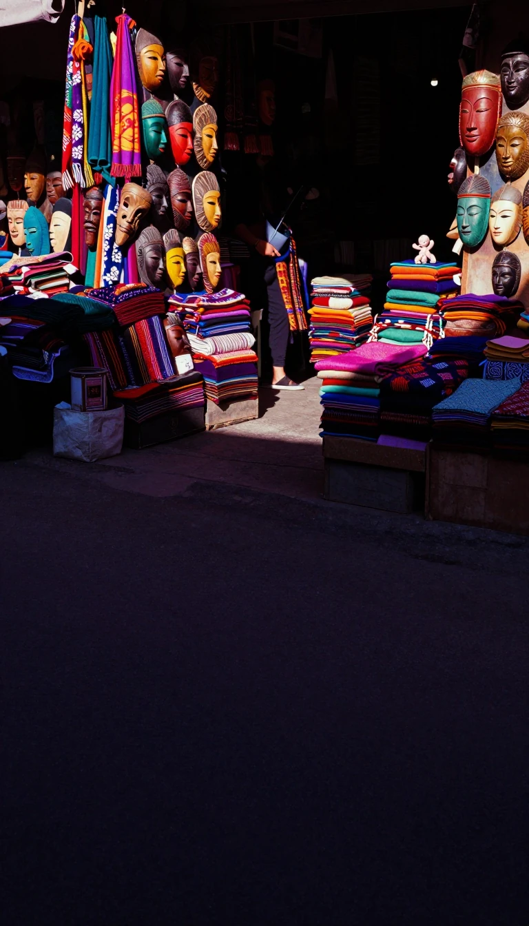 Census South is a culture region slavery’s economy remadeThe Southern United States—Dixie, the Southland—is one of four U.S. Census Bureau regions between the Atlantic and the West, touching Midwest and Northeast. Scholars often redraw …
 Europe’s southern tip once spun the first global trade webSpain, the Kingdom of Spain, is Southern Europe’s largest country and the EU’s fourth-most populous, spanning most of Iberia plus the Canaries, Balearics, and North African plazas…
 An Indian Ocean isle kept 125,000 years of human tracesSri Lanka, once called Ceylon, is a South Asian island nation divided from the subcontinent by Mannar’s gulf and the Palk Strait. Documented history runs over 3,000 years, with pr…
 A desert wall has split Africa’s maps since about 3900 BCESub-Saharan Africa gathers Central, East, Southern, and West Africa south of the Sahara, a counterpart to North Africa’s MENA/Arab-world grouping. Since around 3900 BCE the harsh …
 South America’s Dutch voice still speaks under ninety percent forestSuriname, on South America’s north coast and often grouped with the Caribbean, sits slightly north of the equator with over 90 percent rainforest—the world’s second-highest forest…
 The biggest Nordic land ranks fifth on the human development scaleSweden covers 450,295 square kilometres with about 10.6 million people—the largest and most populous Nordic country and Europe’s fifth-largest by area. A constitutional monarchy w…
 Armed neutrality since the 1500s still guards twenty-six cantonsSwitzerland, a landlocked confederation of 26 cantons at Europe’s crossroads, divides among Alps, Plateau, and Jura, with Bern as federal city. Four language regions—German, Frenc…
 Mountain republic whose capital began as a village of about 1,000Tajikistan, a landlocked Central Asian republic, borders Afghanistan, Uzbekistan, Kyrgyzstan, and China. Dushanbe, the capital, holds over 1.2 million people. Independence came on…
 India’s classical Tamil shore may hold 385,000-year-old humansTamil Nadu, India’s southernmost state, ranks tenth by area and sixth by population as homeland of Tamil—the first language India recognised as classical. Chennai is the capital. …
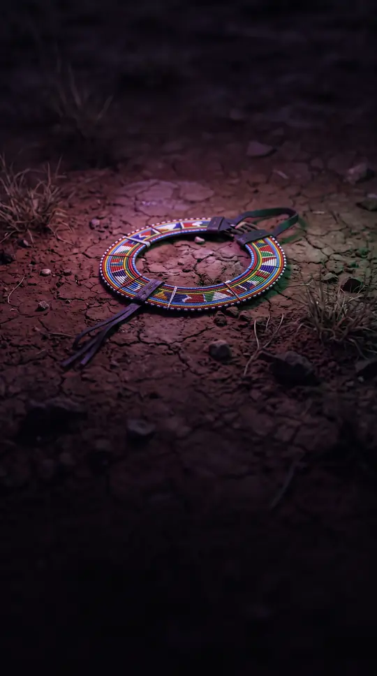 Tanganyika plus Zanzibar made a Great Lakes republicTanzania, the United Republic of Tanzania, sits in East Africa’s Great Lakes belt between Uganda, Kenya, the Indian Ocean, Mozambique, Malawi, Zambia, Rwanda, Burundi, and the Con…
 Volga Bulgaria’s Islam of 922 still echoes in Kazan’s oil republicTatarstan, a Russian republic in the Volga Federal District, centres on Kazan and draws wealth from oil. Volga Bulgaria adopted Islam in 922—still celebrated at Bolgar—before Gold…
 Brazil’s locomotive state holds one in five BraziliansSão Paulo state, named for Saint Paul of Tarsus, is Brazil’s most populous federation unit—more than 44 million people in 2022, about 22 percent of the nation and the Americas’ mo…
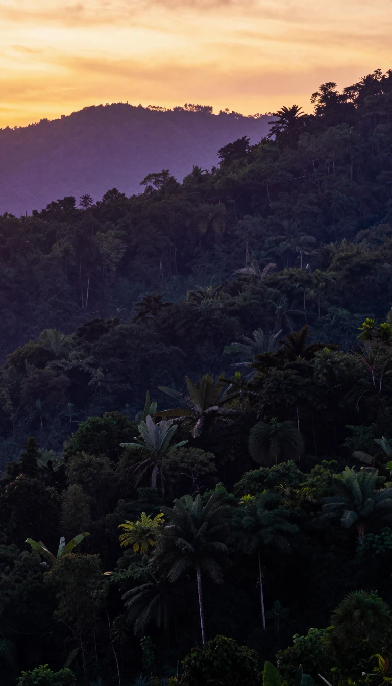 Empty Cameroon Line peaks became a slave-trade sugar hubSão Tomé and Príncipe, a Gulf of Guinea island republic off Central Africa, pairs two main islands about 150 kilometres apart and roughly 250 and 224 kilometres from Gabon’s coast…
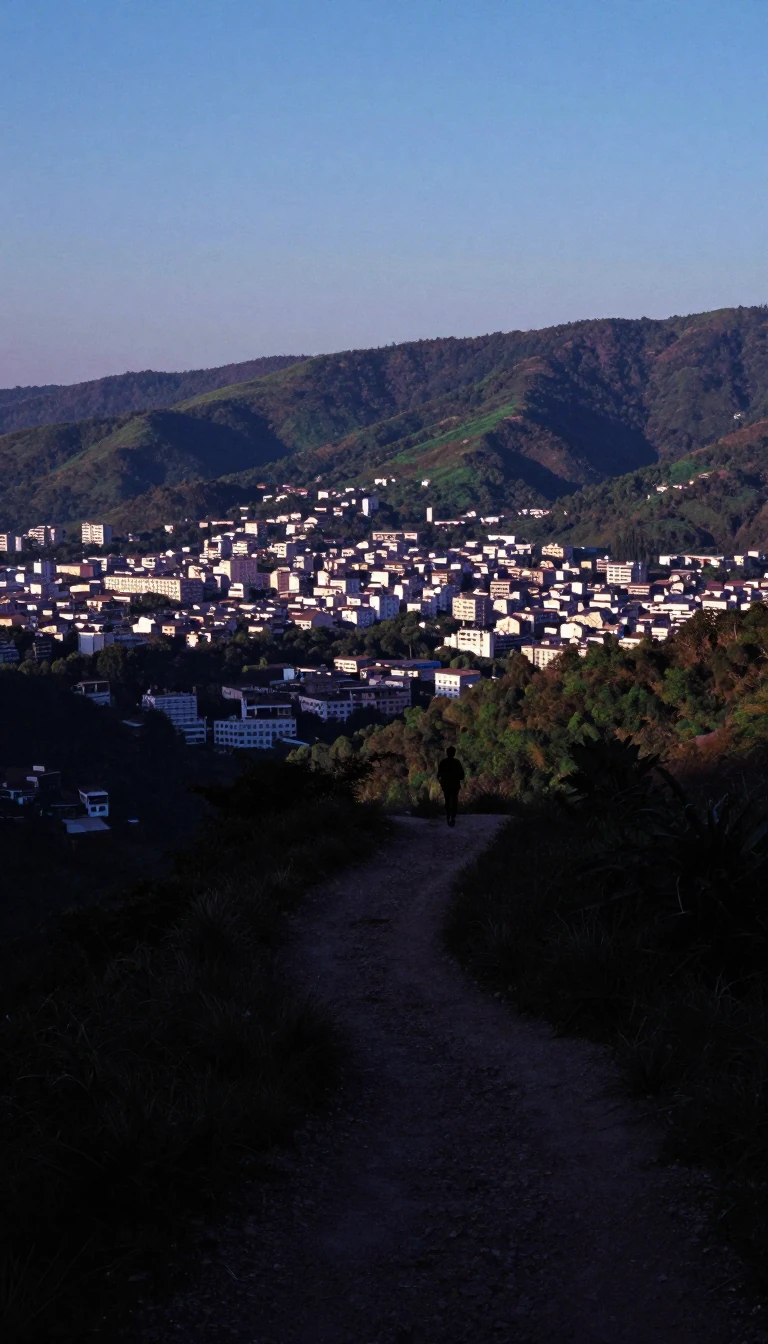 Pakistan’s Indus gateway still hosts Mohenjo-daro’s ruinsSindh, Pakistan’s third-largest province by area and second by population, faces the Arabian Sea between Balochistan and Punjab and shares India’s border. Settled life in South As…
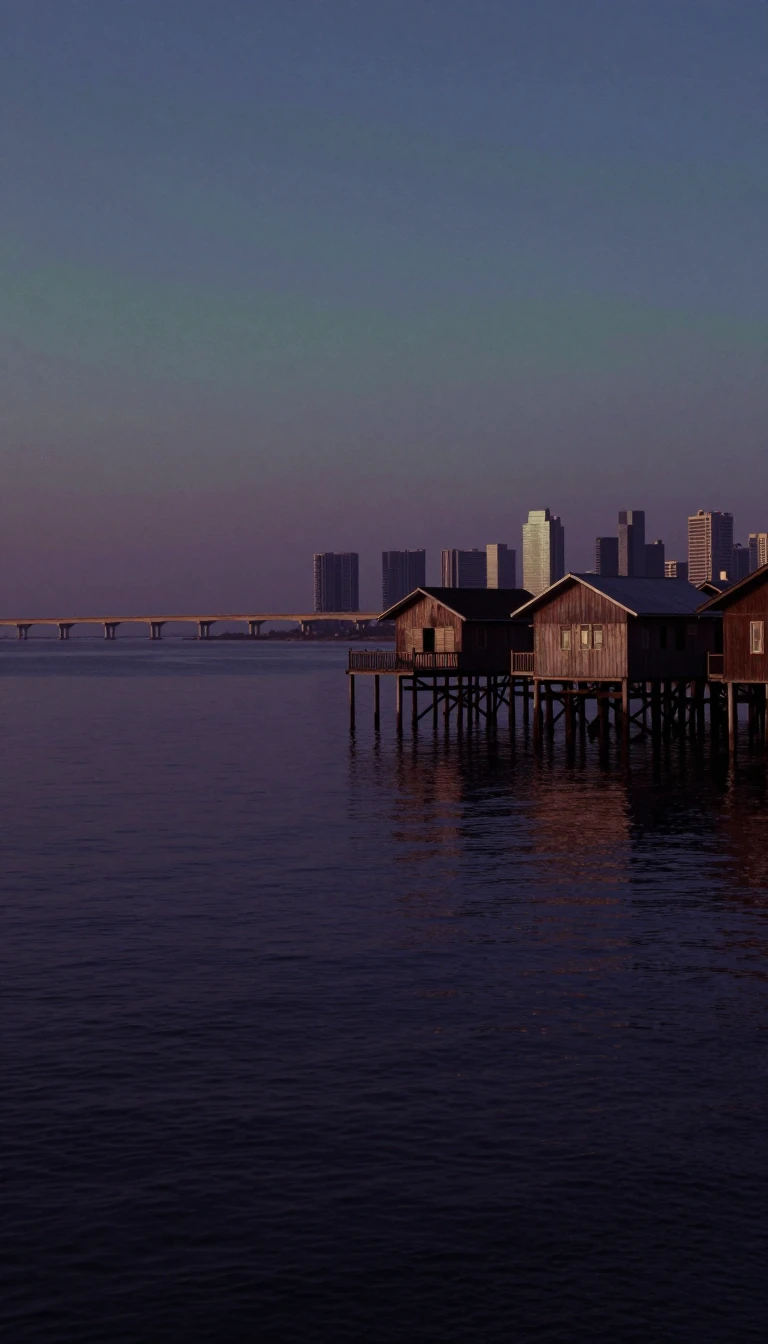 A Sanskrit lion city now tops the world in GDP per personSingapore, a Southeast Asian island republic of one main island plus over sixty islets about 137 kilometres north of the equator, bears a name from Malay Singapura—Sanskrit Siṃhap…
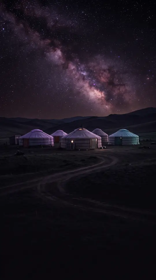 The Philippines’ second island is a land of lakes by nameMindanao is the Philippines’ second-largest island after Luzon and the world’s seventh-most populous. The 2020 census counted 26,252,442 people on the main island and more across …
- Lapita settlers made a “holy centre” of two main Polynesian islesSamoa’s Independent State joins Savai‘i and Upolu with Manono, Apolima, and smaller islets in Polynesia. Lapita voyagers arrived about 3,500 years ago; the country dropped “Wester…
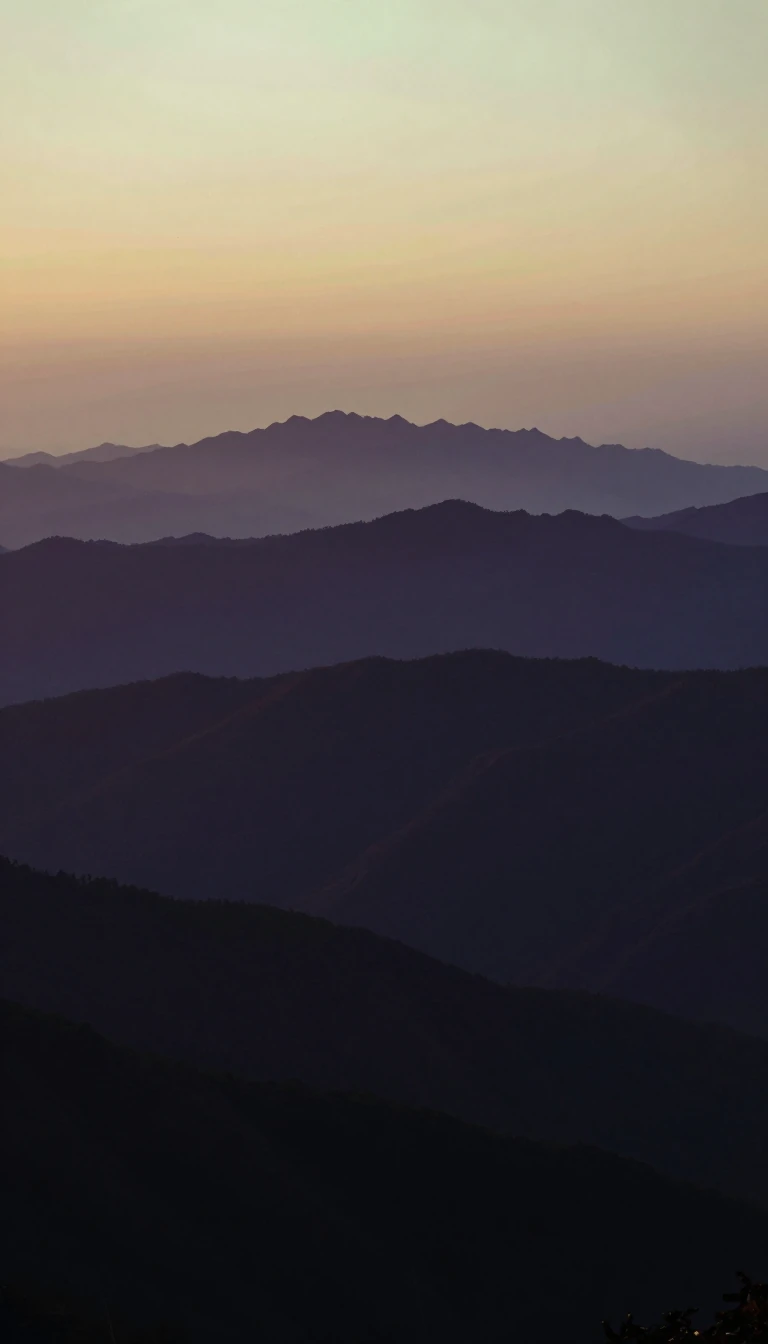 A saint’s mountain refuge still draws Europe’s oldest republic claimSan Marino, fifth-smallest country on Earth, is a landlocked microstate on Italy’s Apennine slopes, larger only than Vatican City among peninsula enclaves. It uses the euro and si…
 Abdulaziz’s 1932 decree named a peninsula-spanning kingdomSaudi Arabia covers about 2,149,690 square kilometres—Asia’s fifth-largest and the world’s twelfth—occupying most of the Arabian Peninsula. King Abdulaziz unified Hejaz, Najd, and…
- Three kingdoms—or a peninsula—still argue over one regional wordScandinavia most often means Denmark, Norway, and Sweden, bound by history and North Germanic tongues. English sometimes stretches it across the Nordic family or limits it to the …
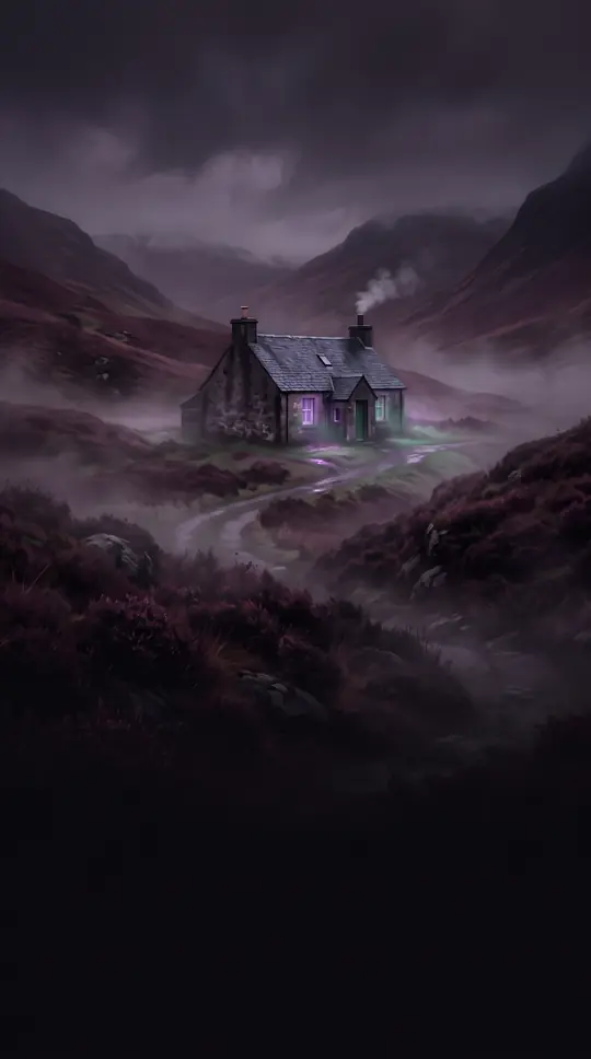 A ninth-century kingdom still maps Highlands, Lowlands, UplandsScotland, part of the United Kingdom, covers northern Great Britain plus the Hebrides and Northern Isles. About 5.4 million people lived there in 2022, with Edinburgh the capital …
 Mainland Afro-Eurasia’s western tip takes a river’s nameSenegal is mainland West Africa’s westernmost state, nearly wrapping The Gambia along the Gambia River while bordering Mauritania, Mali, Guinea, and Guinea-Bissau. It borrows its …
- A landlocked Balkan republic still answers to an unclear ethnonymSerbia, about 6.5 million strong with Belgrade as capital, sits landlocked between Hungary, Romania, Bulgaria, North Macedonia, Croatia, Bosnia and Herzegovina, Montenegro, and a …
- Africa’s smallest country was empty until Europeans stayedSeychelles scatters 115 Indian Ocean islands about 1,500 kilometres east of mainland Africa, with its capital at Victoria. Roughly 100,600 people in 2022 make it Africa’s least po…
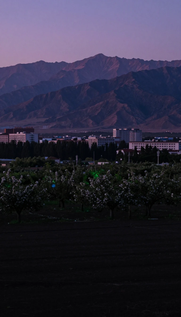 “East of the mountain” still hosts China’s most revered Taoist peakShandong, a coastal East China province, translates as “east of the mountain,” a Jin Dynasty circuit name for lands east of the Taihang. Mount Tai anchors Taoist reverence and one…
- A Khanate’s name still blankets North Asia in Russian mindsSiberia stretches from the Urals to the Pacific as a geographic idea, not a single polity, covering North Asia under Russian rule since the sixteenth century. January averages nea…
 Ba–Shu country still numbs tongues and shelters giant pandasSichuan holds about 83 million people in the Sichuan Basin and Tibetan Plateau fringe, with Chengdu as capital. Qin absorbed Ba and Shu around 316 BC; Liu Bei’s Shu Han ruled from…
 Pedro de Sintra’s lioness mountains became a freed-slave colonySierra Leone covers 73,252 square kilometres of West African coast between Guinea and Liberia. Portuguese explorer Pedro de Sintra named it Serra Leoa, “lioness mountains,” in 146…
- Magellan’s “giants” named the cone of southern South AmericaPatagonia covers southern Argentina and Chile where Andes, fjords, steppe, and ice meet. Magellan in 1520 called local people patagones, likely Tehuelche, whom his crew mistook fo…
- Francis Light’s 1786 free port still leads Malaysia’s export ledgerPenang splits into George Town’s island and mainland Seberang Perai across the Strait of Malacca. Francis Light opened a free port in 1786; by recent counts the state led Malaysia…
- Penn’s 1681 grant still nicknamed the Keystone and Quaker StatePennsylvania, a Mid-Atlantic and Appalachian commonwealth, was granted to William Penn in 1681 as a religious haven after a southeast slice spent 1638–1655 under New Sweden. About…
 Andean republic where Quechua still shares the air with SpanishPeru climbs from Pacific desert through Andes to Amazon, layered with Inca memory and Spanish colonial cities. Spanish dominates, yet many Peruvians still speak Quechua, Aymara, o…
 Seven thousand islands took a Spanish prince’s sixteenth-century nameThe Philippines spreads about 7,641 western Pacific islands across roughly 300,000 square kilometres between the South China Sea, Philippine Sea, and Celebes Sea. Ruy López de Vil…
 A million islands’ rumor became a 300,000-square-kilometre Pacific trianglePolynesia scatters more than a thousand islands across the mid- and south Pacific, yet solid ground totals only about 300,000 to 310,000 square kilometres—over 270,000 of that in …
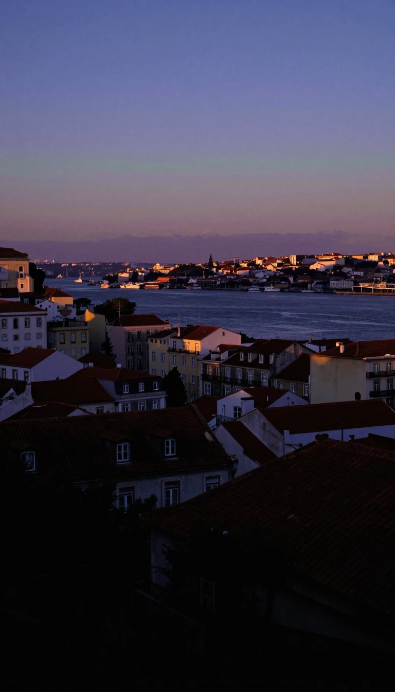 Portus Cale on the Douro grew into Europe’s Atlantic edge statePortugal holds southwestern Iberia plus Madeira and the Azores, bordered only by Spain on land. Latin Portus Cale, “port of Cale”, named both Porto and eventually the country that…
- Five rivers still name a region split between two countriesPunjab is the northwestern South Asian region of five rivers spanning Pakistan and northwestern India. Lahore is its historic capital and largest city; Indus Valley settlements al…
- Pakistan’s breadbasket province holds over 127 million peoplePunjab is Pakistan’s most populous province and the world’s second-most-populous subnational polity, with more than 127 million residents. Lahore is its capital; the province lead…
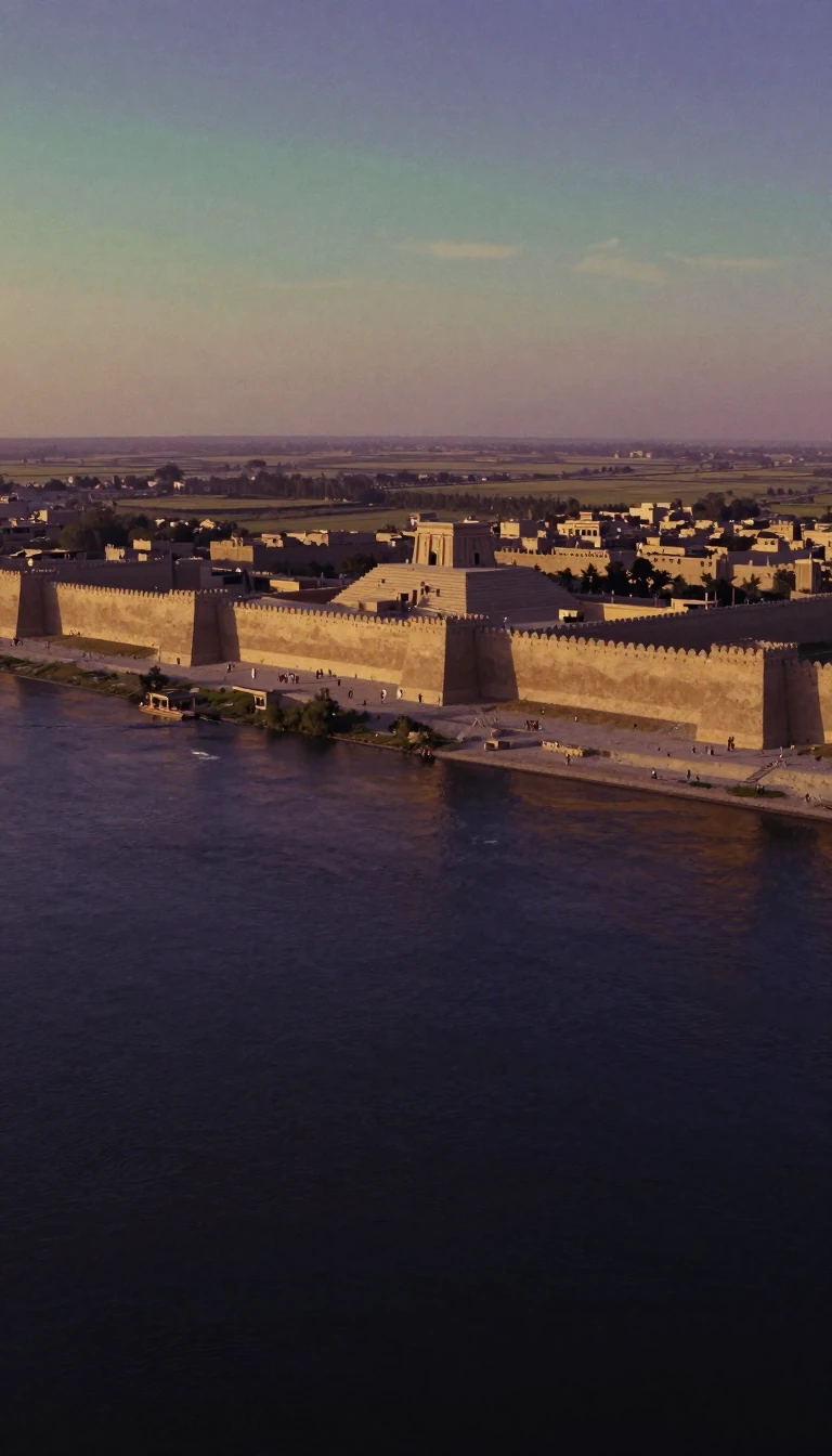 A Somali state named for Egypt’s legendary Land of PuntPuntland, a semi-autonomous federal member state in northeastern Somalia since 1998, takes its name from the ancient Egyptian Land of Punt—often placed in today’s Somali coasts th…
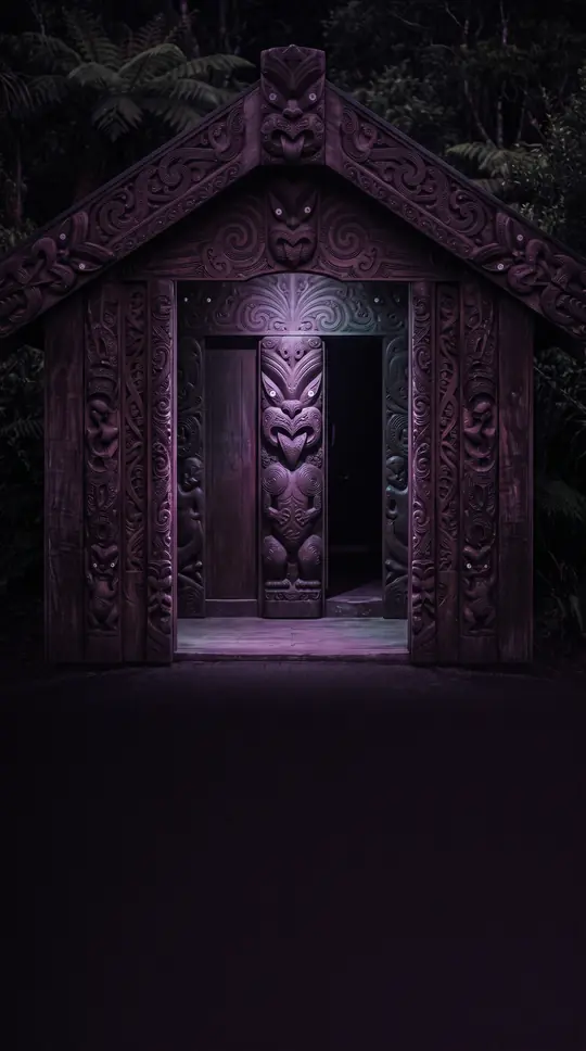 A thumb of Arabia where nearly everyone is from somewhere elseQatar occupies a Persian Gulf peninsula with a sole land border on Saudi Arabia. On 21 June 2026 its population hit 3,180,059—about 3.02 million of them foreign workers—while rank…
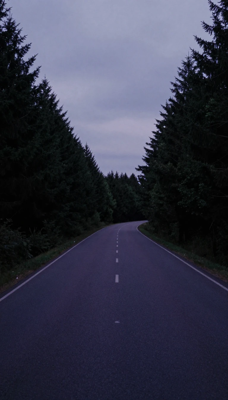 Canada’s largest province is still a French-majority narrowsQuebec covers about 1.5 million square kilometres, nearly three times the size of France, and is Canada’s only Francophone-majority province. Its Algonquin name means “narrow pass…
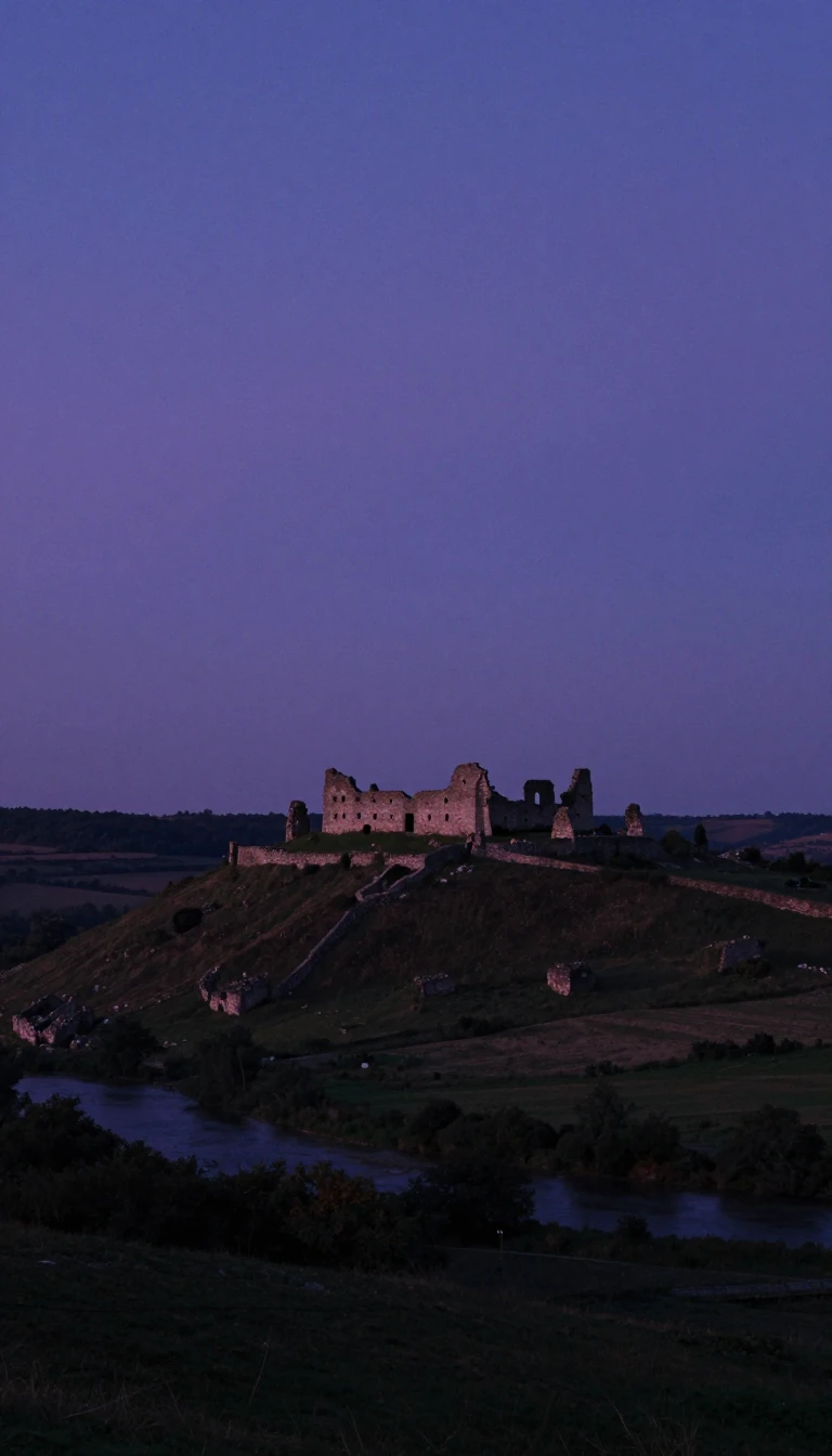 India’s largest state is literally named the land of kingsRajasthan covers 342,239 square kilometres—10.4 percent of India—as the country’s largest state by area and seventh by population. Merged from Rajputana Agency princely states on …
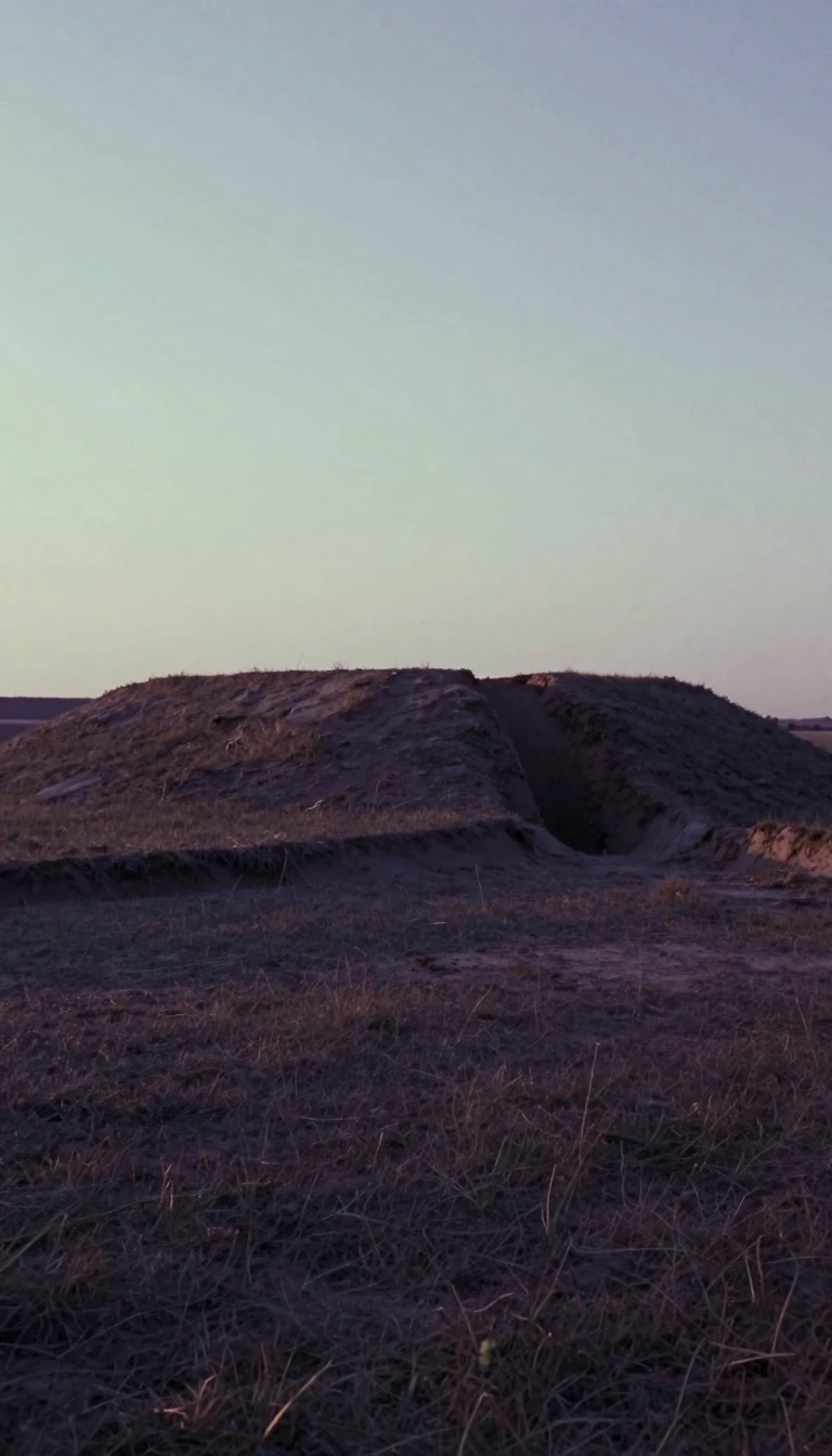 Twenty-six counties kept the name Ireland after 1937Ireland—also the Republic of Ireland—holds 26 of the island’s 32 counties and about 5.4 million people, with Dublin topping 1.5 million on the east coast. The Irish Free State of …
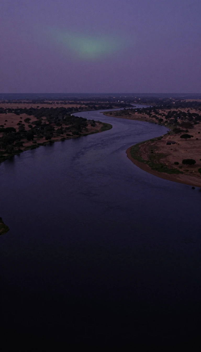 Congo-Brazzaville watches the river from the opposite bankThe Republic of the Congo—Congo-Brazzaville—sits on Central Africa’s Atlantic approach west of the Congo River, bordered by Gabon, Cameroon, the Central African Republic, the Demo…
- A Black Sea and Danube country bridges Central and Southeast EuropeRomania follows the lower Danube north of the Balkans to the Black Sea’s northwestern shore, bordering Ukraine, Hungary, Serbia, Bulgaria, and Moldova. Its name goes back to the L…