Why the definition of a mountain summit is surprisingly open to interpretation
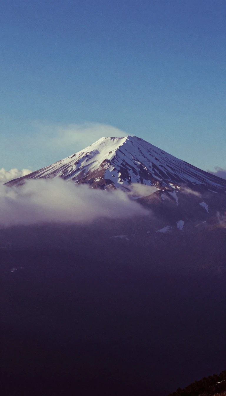
In short: A summit is simply the highest point in its immediate vicinity, but classifying one is rarely straightforward. Whether a peak is a distinct mountain or merely a subpeak depends on subjective metrics like prominence. Even the term itself is ambiguous, often describing a mountain top or a simple highway pass.
At its most basic level, a summit is defined as any point on a surface that sits at a higher elevation than all immediately adjacent points. While terms like apex, acme, and zenith are often used interchangeably, the classification becomes complex when dealing with proximity to other high points. A massive rock formation sitting near a larger mountain is typically excluded from the summit definition, and smaller peaks near a higher neighbor are often relegated to the status of subpeaks or subsummits.
The International Climbing and Mountaineering Federation provides specific quantitative guidelines to resolve these ambiguities. For a peak to be considered a mountain summit, it must possess a prominence of at least 300 metres, or 980 feet. If a peak has a prominence of only 30 metres, or 98 feet, it is categorized as a 4,000-metre peak, but anything less than that threshold is generally classified as a subpeak. These distinctions are vital for mountaineers, yet they remain inherently subjective, reflecting the difficulty of categorizing natural landforms.
The confusion is compounded by regional linguistic habits. In the Western United States, the word summit is frequently applied to the highest point along a road, highway, or railroad, which is more accurately described as a mountain pass. Famous examples include Donner Summit on Interstate 80 and Siskiyou Mountain Summit on Interstate 5. This dual usage creates a persistent ambiguity for travelers and geographers alike, as a labeled summit might refer to a challenging mountain peak or merely the highest point on a paved highway route.
Physical characteristics also complicate measurement. For mountains permanently encased in ice, geographers must decide whether to measure the height of the underlying rock or the surface of the solid ice. Mount Everest, the world's highest summit, reaches 8,848.86 metres, or 29,031.7 feet, above sea level. Since the first official ascent by Tenzing Norgay and Sir Edmund Hillary in 1953, the pursuit of reaching these peaks has evolved into a global community of peakbaggers who track their ascents across the world's ranges.
Opens the Intellect+ feed with this card first. Swipe up for the next one.
Sources
- Summary by Intellect · source: Summit
To cite this card, link to https://intellectplus.co.uk/app/nature-summit.
How we source, check and correct cards: Editorial standards.
General information, not professional advice. Spotted an error? Flag the card or see corrections and complaints.
Intellect Plus is a visual educational discovery platform for exploring fascinating facts and ideas. Brain Food, Not Brain Rot. What is Intellect Plus?
Related
More in Geomorphology · More in Nature · Latest · A–Z · All topics
