Nature builds stairs: how geological terraces record the history of our changing planet
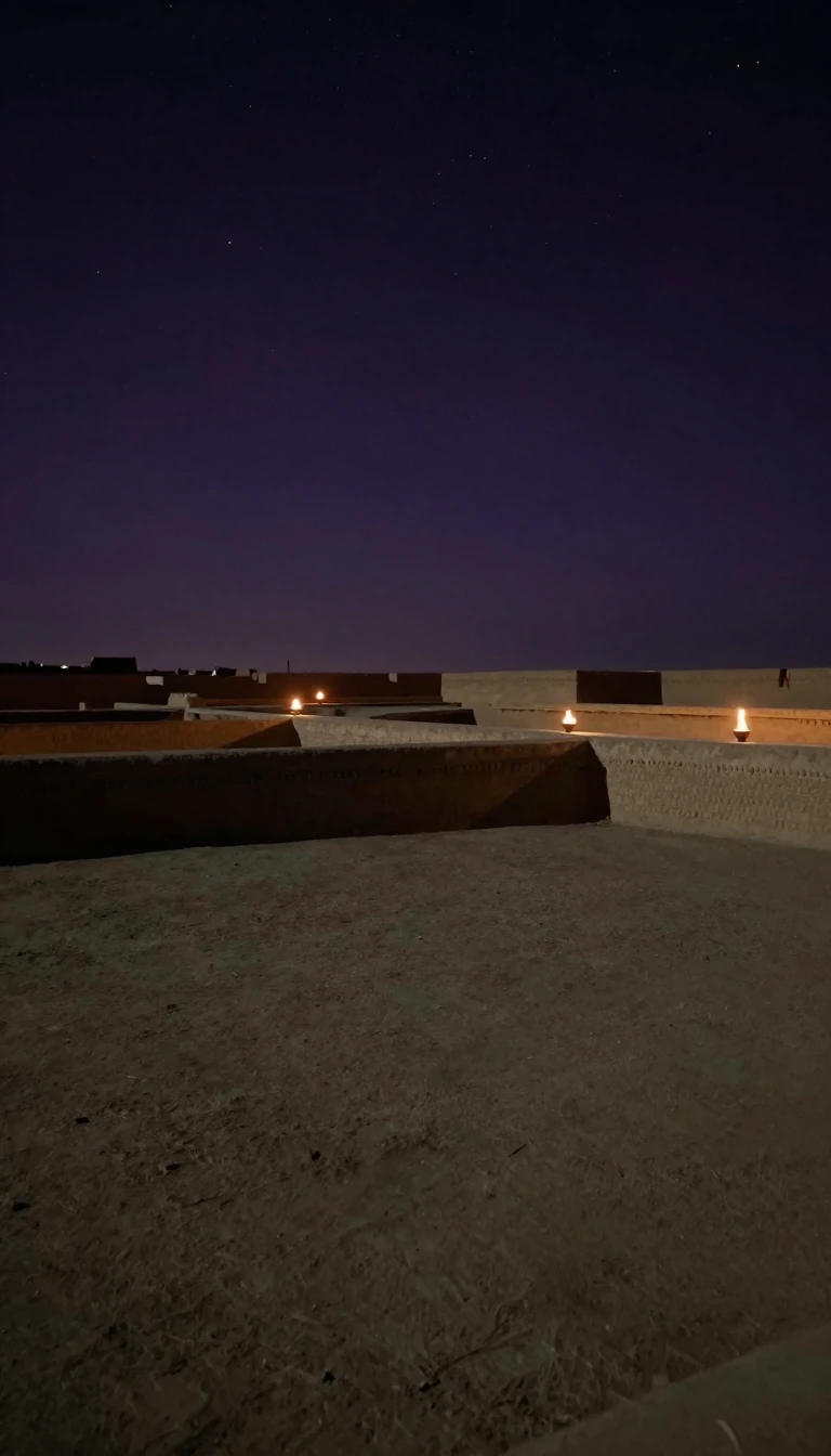
In short: A terrace is more than a simple step in the landscape. Whether carved by ancient rivers, rising sea levels, or the slow creep of soil, these tiered landforms act as natural archives. They preserve the memory of shorelines and floodplains that vanished long ago, revealing Earth's restless, shifting surface.
At its most basic, a geological terrace is a step-like landform consisting of a flat surface, known as a tread, bounded by a steeper slope called a riser or scarp. While often confused with the sediments beneath them, these features are distinct geomorphic surfaces. They appear in diverse environments, from the banks of rivers to the edges of oceans and lakes, each type telling a unique story about the forces that shaped the local terrain.
Fluvial terraces, for instance, are remnants of former floodplains. They form when a river cuts downward into its own bed, abandoning its previous level due to shifts in climate, tectonic uplift, or changes in sediment load. Similarly, marine terraces mark ancient shorelines. These require a two-part process: first, high-energy waves carve a platform into bedrock; then, the land must rise or the sea level must fall to preserve that platform above the reach of the tide. These are often found in flights along coastlines, particularly in regions undergoing tectonic uplift, such as Japan or parts of South America.
Not all terraces are created by water. Structural terraces emerge when erosion strips away softer rock layers, exposing a harder, flat stratum beneath. Meanwhile, tiny terracettes on hillsides result from soil creep or animal activity. Whether they are the grand, gravel-laden plateaus of London—like the Boyn terraces at 100 to 150 feet—or the delicate, carbonate-rich waterfalls of travertine terraces, these features provide a physical record of environmental change. By studying these steps, geologists can reconstruct the history of ancient lakes, glacial meltwater streams, and the tectonic movements that continue to elevate our world.
Understanding these landforms is essential for interpreting the landscape's evolution. While some terraces are relict shorelines, others, such as those in ice-walled lakes, represent the former bottoms of ancient water bodies. By mapping these features, researchers can track everything from the impact of glacial-interglacial cycles to the direct influence of human activity on modern watersheds.
Opens the Intellect+ feed with this card first. Swipe up for the next one.
Sources
- Summary by Intellect · source: Terrace (geology)
- Also: Terrace | geology | Britannica
To cite this card, link to https://intellectplus.co.uk/app/nature-terrace-geology.
How we source, check and correct cards: Editorial standards.
General information, not professional advice. Spotted an error? Flag the card or see corrections and complaints.
Intellect Plus is a visual educational discovery platform for exploring fascinating facts and ideas. Brain Food, Not Brain Rot. What is Intellect Plus?
Related
More in Geomorphology · More in Nature · Latest · A–Z · All topics
