 Intellect Plus
Countries & Cities
15,124 cards. Each one is a 40-second story with a five-minute read behind it. Page 170 of 253.
Subtopics: Africa · Americas · Ancient cities & ruins · Asia · Australia & New Zealand · Basics · Bodies of water · Canada · Capes · Capital cities · Caribbean & Pacific islands · Castles & palaces · Cathedrals & churches · China · Cities · Countries · Countries and other regions · Countries of the world · Countries: General · Deserts · Eastern Europe · Europe and Russia · Famous landmarks · Famous streets & squares · Flags & symbols · France · Germany & Central Europe · Ghost towns · Greece & Turkey · Historical cities · Historical cities, towns and archaeological sites · India & South Asia · Islands · Isthmuses · Italy · Japan & Korea · Land relief · Major world cities · Maps & cartography · Microstates & enclaves · Middle East · Mountain peaks and volcanos · Mountains · National parks · Non-city settlements · Oceania · Other hydrological features · Other terrestrial features · Parks, preserves, and World Heritage Sites · Peninsulas · Polar regions · Ports & harbours · Regions and country subdivisions · Rivers & lakes · Scandinavia · Seaside towns · South America · Southeast Asia · Spain & Portugal · Technical geography · UK & Ireland: places · UK & Irish cities · United States landmarks · Urban studies and planning · US cities · Vegetation features · World Heritage Sites
 The high-stakes history of the world's most dangerous amusement parkExplore the history and geography behind a location once considered the most perilous destination for thrill-seekers.
 The disappearance of the world's fourth largest lakeExplore the geographical and human-driven factors that led to the destruction of a massive body of water. This video examines the history and consequences of losing one of Earth's…
 The hidden dangers of interacting with a whale carcassWhile a stranded whale might look like a fascinating sight, touching one can be incredibly hazardous. This video explores the biological and environmental reasons why you should k…
 The physics of surviving a 33,000-foot fall without a parachuteThis video explores the extraordinary survival story of a woman who fell from an aircraft and lived. It examines the rare conditions required to survive such a high-altitude desce…
- Why 70% of Spain's Land Remains Virtually UninhabitedExplore the geographical and historical forces that created one of Europe's most striking demographic contrasts: a massive, sparsely populated interior and a densely packed coastl…
- What happens when an aircraft loses power at 41,000 feet?Explore the high-altitude crisis of an airplane running out of fuel. This video examines the sequence of events and the mechanics of what follows when engines fail at extreme alti…
 Could a massive bridge ever connect Russia and Alaska?Explore the ambitious and controversial engineering concept of linking the Russian and American continents via a bridge across the Bering Strait.
- How far could you actually walk on Earth?Explore the limits of terrestrial travel in this geographical investigation into the planet's longest continuous walkable path.
 The geographical constraints that shape the Iranian landscapeExplore how Iran's physical environment dictates its development and challenges. This video examines the specific geographic factors that make life and infrastructure complex with…
 Navigating the vast administrative landscape of China's 22 provincesExplore the geographical diversity of China through a comprehensive breakdown of its 22 provinces, as presented by the Geography Now series.
- Where the mountains meet the sea in Turkey's Mediterranean heartThe Mediterranean Region of Turkey is defined by a dramatic geography where massive mountain chains run parallel to the coast. This rugged landscape dictates everything from the c…
 Why the term Metropolitan France carries a heavy colonial legacyMetropolitan France is the official name for the European territory of the French Republic, yet the term is increasingly contested. Rooted in the colonial era, it once defined the…
 Why Poland's central province is the true heart of the national languageŁódź Voivodeship is a crossroads of history and culture, where medieval ducal seats meet the industrial revolution. Unlike other regions, it lacks a distinct local dialect, instea…
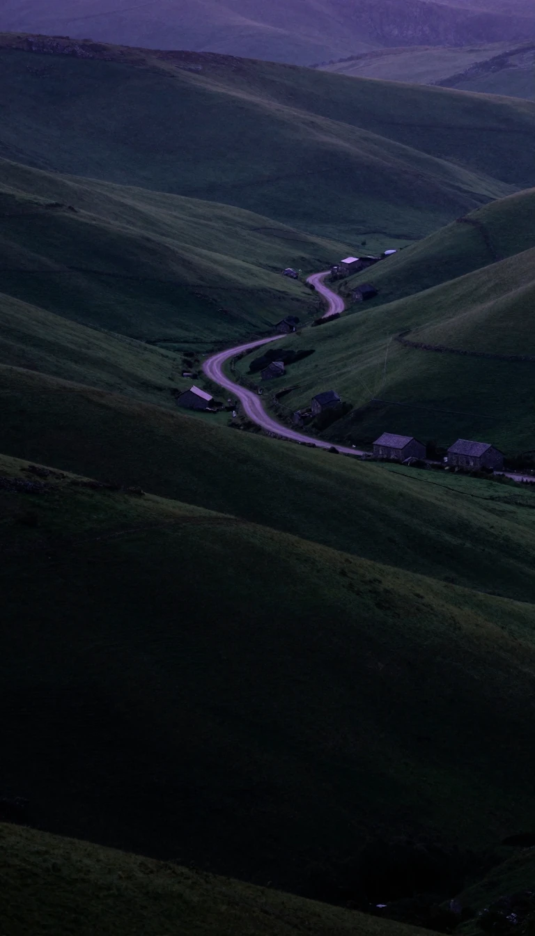 The unique territory that belongs to two nations at onceIn north-eastern Bosnia and Herzegovina, a small administrative unit exists in a legal state of limbo. Known as a condominium, the Brčko District is simultaneously part of two dif…
 Why Peru’s regional map is a legacy of failed political experiments and decentralizationPeru’s administrative landscape is a patchwork of historical ambition and centralist control. While the country is divided into 24 departments, the path to regional autonomy has b…
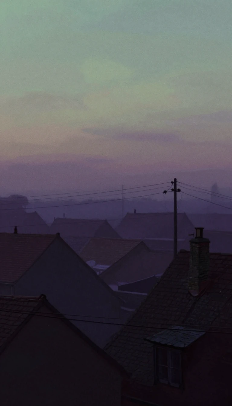 From coal and weapons to the 21st-century capital of designOnce a heavy industrial powerhouse defined by coal mining and arms manufacturing, Saint-Étienne is undergoing a profound metamorphosis. Today, this French city is shedding its 19t…
 The deep-sea abyss that briefly held the title of the world's deepest pointIn 1874, a single oceanographic survey revealed a depth so profound it briefly dethroned the Mariana Trench. Today, the Kuril–Kamchatka Trench remains a massive, volatile scar on …
 How the Izu–Bonin–Mariana arc reveals the secret origins of nascent volcanic systemsThe Izu–Bonin–Mariana arc is a massive, largely submerged tectonic system spanning 2,800 kilometers. While it is famous for hosting the deepest point on Earth, its true scientific…
 Why this northern Swedish city planted thousands of birch trees to stop future fires.Umeå is a modern intellectual hub in northern Sweden, known for its university, cutting-edge gene research, and a unique urban landscape. After a devastating fire in 1888 left tho…
 The skyline is a city's unique physical fingerprintNo two skylines are identical, making them perfect visual shorthand for location. From the competing towers of medieval Italy to modern glass skyscrapers, these silhouettes repres…
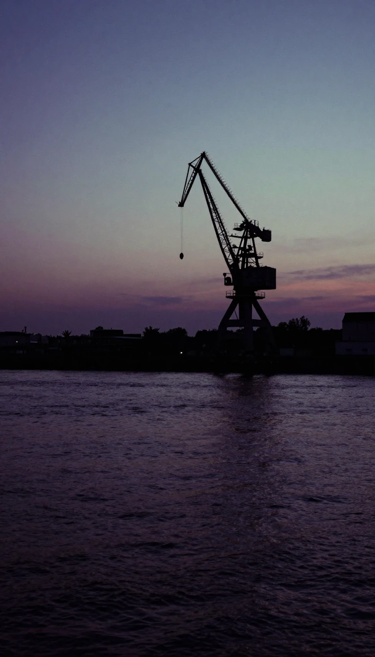 How a Czech industrial powerhouse became the global capital of golden lagerPlzeň is more than a beer-brewing legend. Founded in the 13th century, this Czech city evolved from a medieval trade hub into an industrial titan. While its name is synonymous wit…
- Is there a single location where you can traverse seven time zones quickly?This video explores a unique geographical claim regarding time zone density. It investigates whether a specific spot on Earth allows for the crossing of seven distinct time zones …
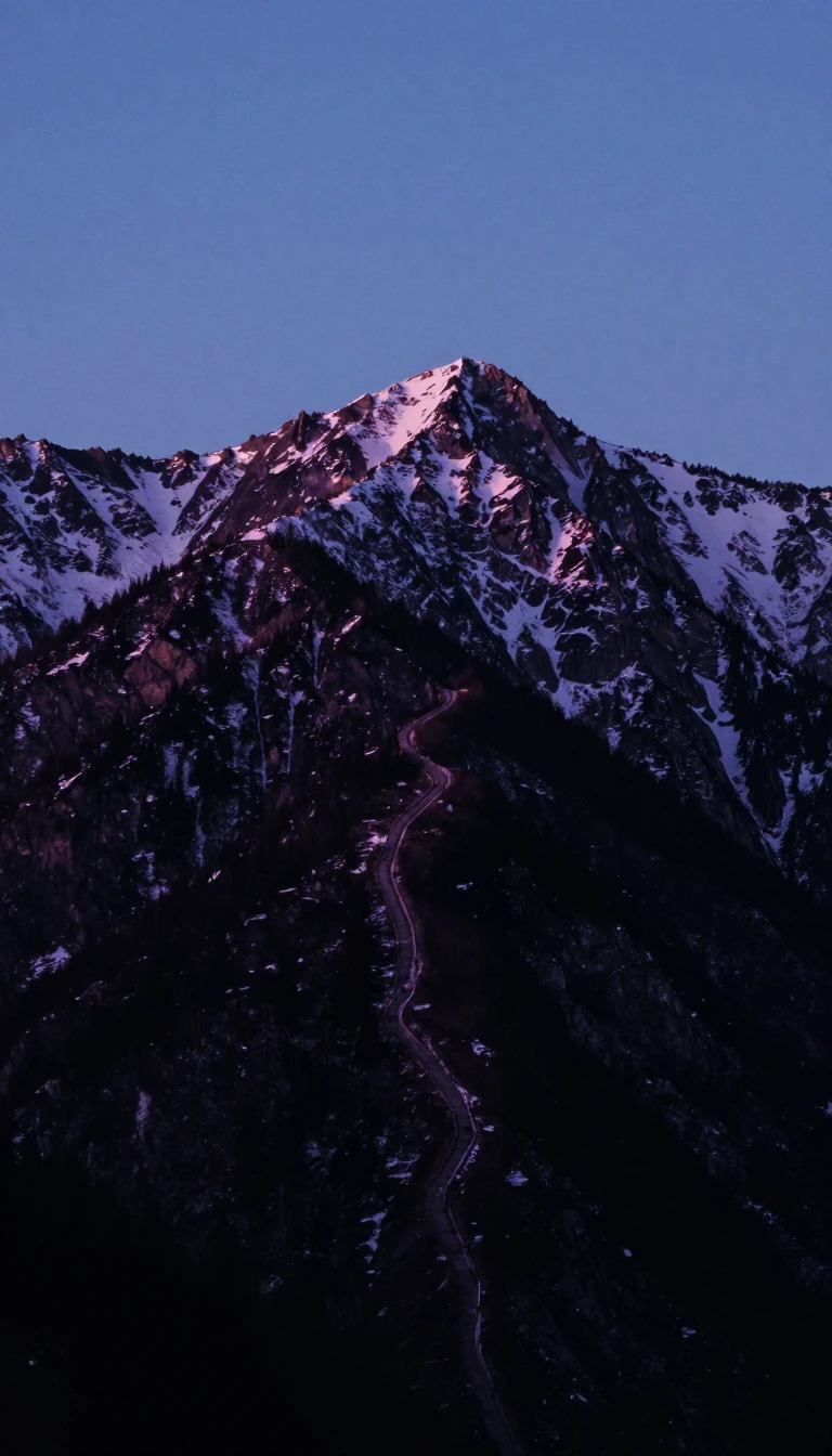 How a mountain pass forged a kingdom and split a nationFor centuries, the County of Tyrol served as the vital artery between Italy and Germany. Its strategic geography made it a prize for empires, but its complex history eventually le…
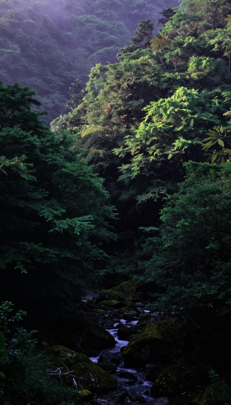 Ibaraki Prefecture: The Industrial Powerhouse Shaping Japan's Past and FutureLocated just northeast of Tokyo, Ibaraki is a vital engine of Japanese industry and agriculture. From the birthplace of Hitachi to the cutting-edge research hubs of Tsukuba, this …
 A desert sanctuary that once held enough water for prehistoric lifeBefore it was a landscape of sand and heat, Hail Province was a verdant haven. Archaeological evidence reveals a region so hospitable that it supported human settlement during the…
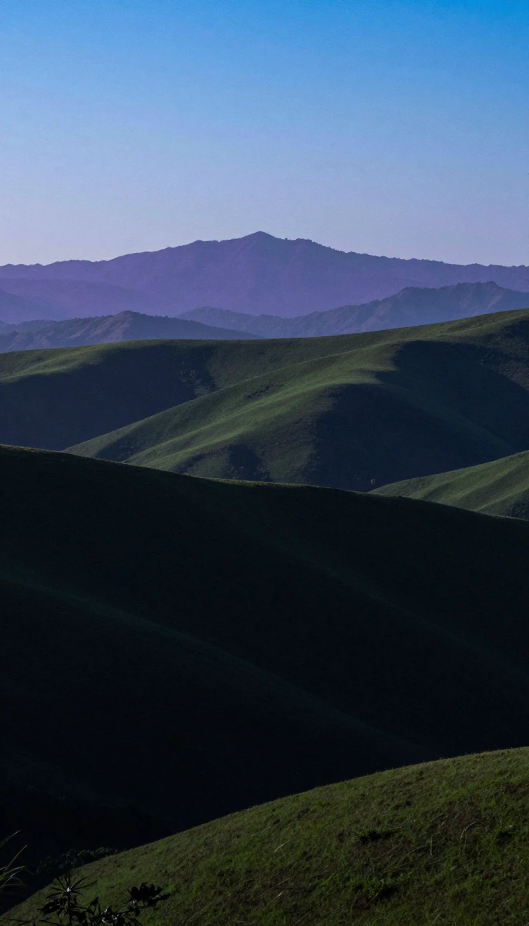 The massive province that surrounds the heart of South KoreaGyeonggi Province is the most populous province in South Korea, acting as the vital ring around Seoul. Covering 10% of the nation's territory, this region is a powerhouse of indus…
 From ancient horse breeding to the hottest temperature in Japanese historyNestled in Japan's Kantō region, Gunma Prefecture is a land of extremes. It is a place where ancient migration patterns once transformed Japanese warfare, where modern highways pl…
 Beyond mountains and valleys: the ancient art of writing about placeWhile we often think of topography as mere elevation, its origins lie in the literal act of writing about a place. From ancient Greek descriptions to modern satellite radar, the s…
- The Mediterranean port that nearly reshaped the map of World War IIn 1915, British planners eyed this Turkish coastal city as a vital gateway to India. A single strategic decision regarding its conquest could have fundamentally altered the fate …
 How we turn raw Earth observations into intelligent spatial dataBeyond simple maps lies a complex intersection of computer science and geography. Geoinformatics provides the digital architecture needed to process everything from satellite imag…
 How a Megarian outpost became a Roman capital and industrial powerhouseBefore it was the industrial engine of modern Turkey, İzmit was a strategic jewel of antiquity. From its origins as the Greek city of Astacus to its era as the Roman Empire's east…
 Kahramanmaraş: A city defined by ancient ruins, imperial shifts, and modern resilienceNestled at the foot of Mount Ahır, this Turkish city has been a crossroads of civilizations for millennia. From its origins as an Iron Age capital to its transformation into a mod…
- How a Crimean War disaster and the telegraph birthed the modern weather mapBefore the mid-19th century, weather forecasting was largely local guesswork. A devastating storm during the Crimean War proved that tracking weather systems across vast distances…
 Adjara: The Black Sea region that survived empires by balancing faith and identityTucked between the Lesser Caucasus and the Black Sea, Adjara is a unique Georgian region defined by its subtropical climate and a complex history of religious shifts. Once a basti…
 How a 200-foot mast in space mapped nearly 80% of Earth's land surfaceIn February 2000, the Space Shuttle Endeavour spent 11 days orbiting Earth with a massive 60-meter mast extended from its payload bay. This daring engineering feat enabled single-…
- Why your daily movements are actually a complex web of invisible, rigid constraintsWe often view our daily lives as a series of free choices, but time geography reveals a different reality. Developed by Torsten Hägerstrand, this framework maps how our paths are …
 Why the setting sun defines the western horizon across almost every human languageWest is more than a compass point; it is a linguistic echo of the evening. From the Indo-European root for night to the Latin term for a setting star, humans have long defined the…
 Why every world map you have ever seen is technically a lieMapping the entire surface of the Earth onto a flat plane is a geometric impossibility. Because our planet is a three-dimensional sphere, any two-dimensional representation must d…
 How do you map the invisible movement of ideas, trade, and wind?A flow map is a hybrid of a map and a flow diagram, using linear symbols to track movement between locations. From the migration of people to the flow of telecommunications data, …
 Why spatial analysis is the secret engine behind your daily digital lifeFrom ordering food to planning disaster relief, spatial analysis transforms raw location data into actionable intelligence. By blending geography with advanced computing, this fie…
 Thematic maps turn invisible data into visual patterns to reveal hidden geographic truths.Unlike standard reference maps that highlight roads or borders, thematic maps visualize specific properties like temperature, language, or disease outbreaks. By leveraging human v…
 How geography transformed from descriptive storytelling into a rigorous, law-seeking spatial scienceDuring the 1950s and 1960s, geography underwent a radical paradigm shift known as the quantitative revolution. By replacing traditional, descriptive regional studies with mathemat…
 Terrain is more than just dirt; it is the fundamental architecture of human existence.From the strategic movements of armies to the success of your morning coffee, terrain dictates the rules. It is the physical shape of our world, shaped by a constant, violent tug-…
 No nautical chart is infallible, making every single one potentially incomplete and dangerousNavigating the open sea requires more than just a map; it demands an active, updated system of data. Because underwater terrain shifts and hazards remain undiscovered, relying on …
 Why a simple red line on a map is more than just inkMap symbols are not merely labels; they are sophisticated graphical devices that translate complex real-world phenomena into readable visual hierarchies. From iconic trees to abst…
 Why your brain struggles to read maps that use circles to show dataProportional symbol maps use varying shapes to represent quantities, but our eyes often betray us. While we intuitively grasp that a larger symbol means more of something, we cons…
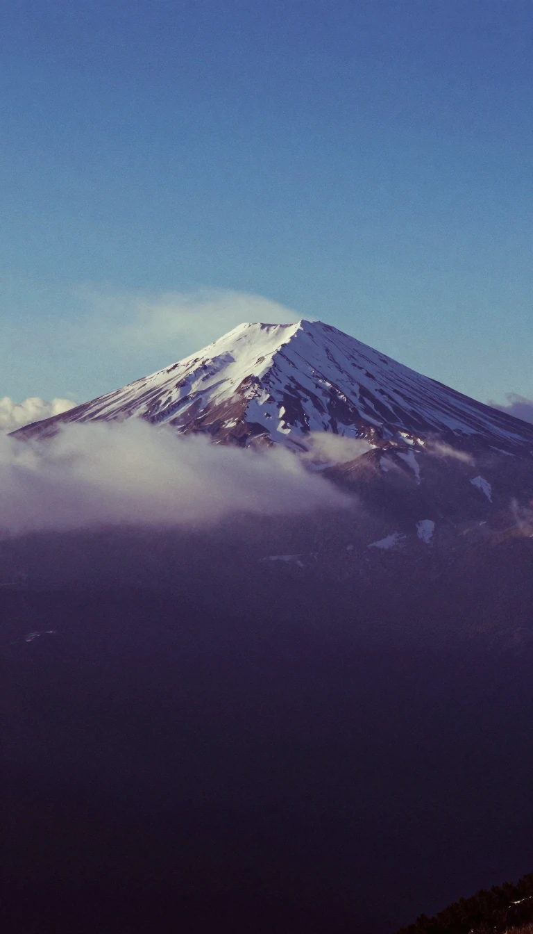 Why your elevation is never truly fixed to the ground beneath your feetElevation seems like a simple, static number, but it is actually a complex measurement tied to a shifting vertical datum. Because sea levels fluctuate due to climate change and ge…
 Why the shortest path between two points on a sphere is a curveOn a flat map, a straight line is the shortest distance between two points. But on a sphere, the rules of geometry shift. To find the most direct route across a globe, you must tr…
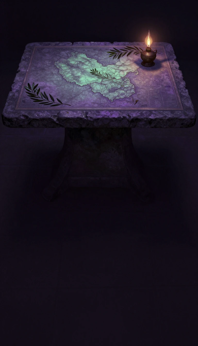 Beyond Maps: The Ancient Art of Cataloging the World's Every DetailA gazetteer is far more than a simple index of places. From ancient Egyptian temple walls to modern digital databases, these comprehensive records have served as essential tools f…
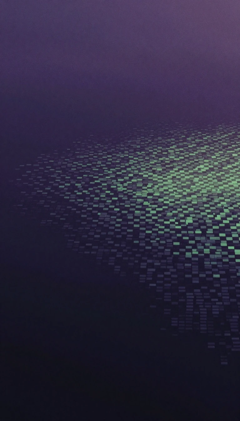 Why the humble heat map is more than just a splash of colorA heat map transforms complex, dense data into an intuitive visual landscape. By mapping numerical values to color intensity, these tools reveal hidden patterns in everything from…
- Geomatics is the invisible engineering discipline mapping the future of our planetGeomatics is the modern evolution of land surveying, bridging geography and computer science to manage the Earth's spatial data. By integrating remote sensing, satellite systems, …
- Why modern maps are no longer just static pictures of the worldGeovisualization transforms maps from simple reference tools into interactive engines for discovery. By leveraging real-time computing, these systems allow users to manipulate dat…
- A mountain borderland where two languages share one autonomous homeIn northern Italy, a rugged alpine landscape serves as the stage for a unique political experiment. Trentino-Alto Adige/Südtirol is an autonomous region defined by its dual identi…
- The 1855 treaty that sparked a war and redefined a nation's nameA dispute over land rights and treaty authority ignited the Yakima War in the 1850s. Today, the Yakama Nation navigates a complex landscape of sovereign law, economic survival, an…
 Why a 19th-century map projection sparked a fierce, decades-long academic warThe Gall–Peters projection is a map designed to preserve the relative surface area of landmasses, correcting the size distortions of the ubiquitous Mercator. Yet, its rise to prom…
 How do we map the bare earth without removing every tree and building manually?Digital elevation models strip away the world's surface clutter to reveal the raw terrain beneath. By synthesizing radar, satellite, and airborne data, these three-dimensional gri…
- How a conquered Celtic territory became a cornerstone of the Swiss ConfederationLong before it was a premier destination for lakeside luxury, Vaud was a battleground for empires. From the defeat of the Helvetii by Julius Caesar to centuries of shifting rule b…
 How a Northwest Ukrainian Province Became a Crucible of Language and HistorySpanning the historic lands of Polesia, Volhynia, and Podolia, Zhytomyr Oblast is a region defined by shifting borders and cultural evolution. From its roots in the Russian Empire…
- Why the United Nations flag and ballistic missile maps share the same geometryThe azimuthal equidistant projection is a unique map style that keeps distances and directions perfectly accurate from a single chosen center point. While it is a practical tool f…
- How computer cartography transformed the map from a static image into a living toolFor centuries, maps were static snapshots of the world. Today, they are dynamic, data-driven systems that update in real-time. By integrating satellite imagery, GPS coordinates, a…