 Intellect Plus
Countries & Cities
15,123 cards. Each one is a 40-second story with a five-minute read behind it. Page 174 of 253.
Subtopics: Africa · Americas · Ancient cities & ruins · Asia · Australia & New Zealand · Basics · Bodies of water · Canada · Capes · Capital cities · Caribbean & Pacific islands · Castles & palaces · Cathedrals & churches · China · Cities · Countries · Countries and other regions · Countries of the world · Countries: General · Deserts · Eastern Europe · Europe and Russia · Famous landmarks · Famous streets & squares · Flags & symbols · France · Germany & Central Europe · Ghost towns · Greece & Turkey · Historical cities · Historical cities, towns and archaeological sites · India & South Asia · Islands · Isthmuses · Italy · Japan & Korea · Land relief · Major world cities · Maps & cartography · Microstates & enclaves · Middle East · Mountain peaks and volcanos · Mountains · National parks · Non-city settlements · Oceania · Other hydrological features · Other terrestrial features · Parks, preserves, and World Heritage Sites · Peninsulas · Polar regions · Ports & harbours · Regions and country subdivisions · Rivers & lakes · Scandinavia · Seaside towns · South America · Southeast Asia · Spain & Portugal · Technical geography · UK & Ireland: places · UK & Irish cities · United States landmarks · Urban studies and planning · US cities · Vegetation features · World Heritage Sites
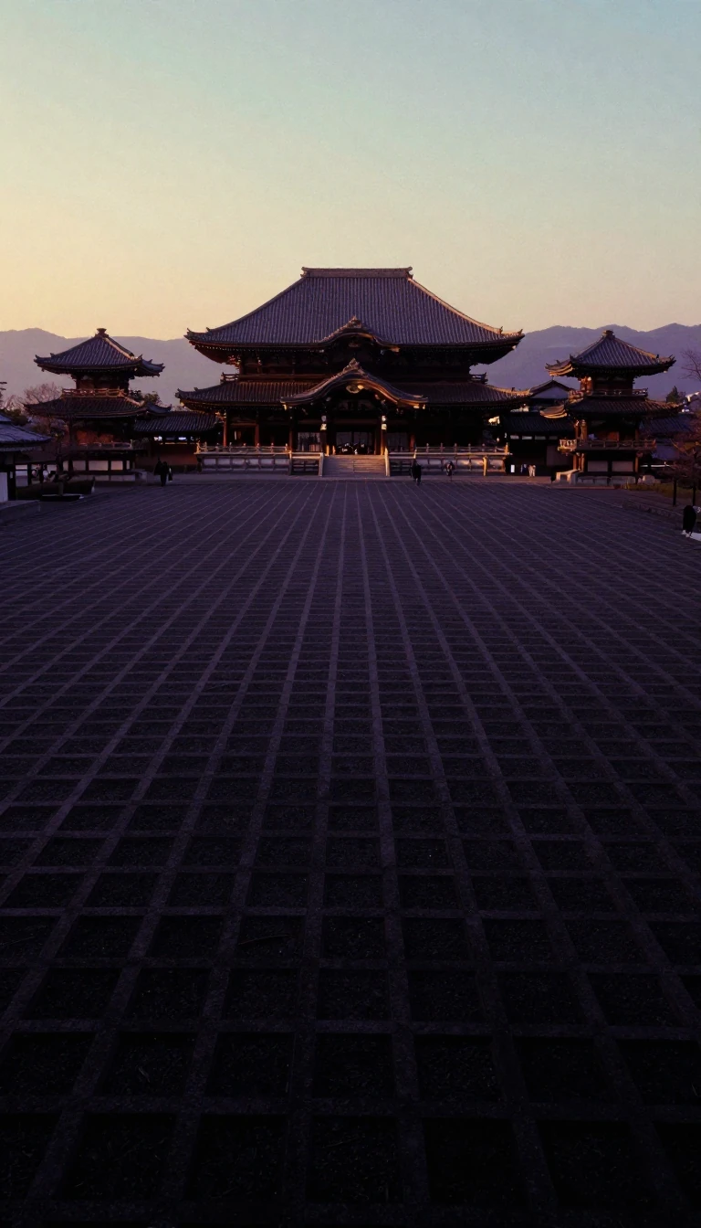 How Japan’s first international capital city was built without a single defensive wallEstablished in 710, Heijō-kyō served as the political heart of Japan for most of the Nara period. Modeled after the Chinese capital of Chang'an, this sprawling urban center flouri…
- Heian-kyō was a perfectly planned grid city that eventually outgrew its own rigid design.Established in 794, Heian-kyō was Japan's imperial capital for over a millennium. Built on a strict rectangular grid inspired by Chinese urban planning, the city was designed with…
 Deep in the Colombian Andes, ancient rock shelters reveal the dawn of human settlement.High on the Bogotá savanna, the El Abra rock shelters hold some of the earliest evidence of human life in the Americas. Dated to over 12,000 years ago, these caves served as a ref…
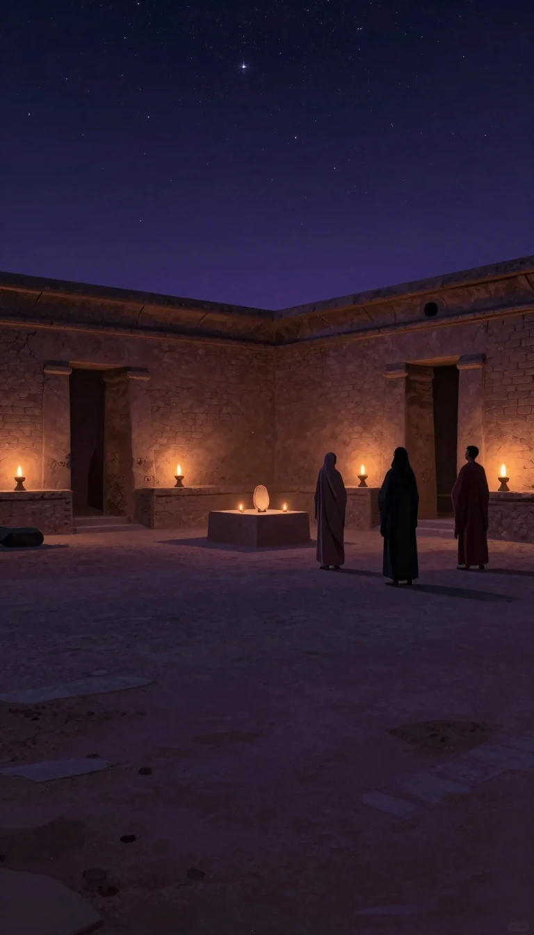 The ancient City of the Sun that provided the world with its iconic obelisks.Heliopolis was once the spiritual heart of ancient Egypt, a legendary center for the worship of the sun god, Re. While its grand temples have largely vanished, scavenged to build …
 Was Banpo a Matriarchal Utopia or Just a Misinterpreted Neolithic Farming Village?Banpo, a Neolithic settlement near Xi'an, was long hailed as a matrilineal society based on Marxist theory. Modern archaeology suggests this narrative may be a relic of mid-twenti…
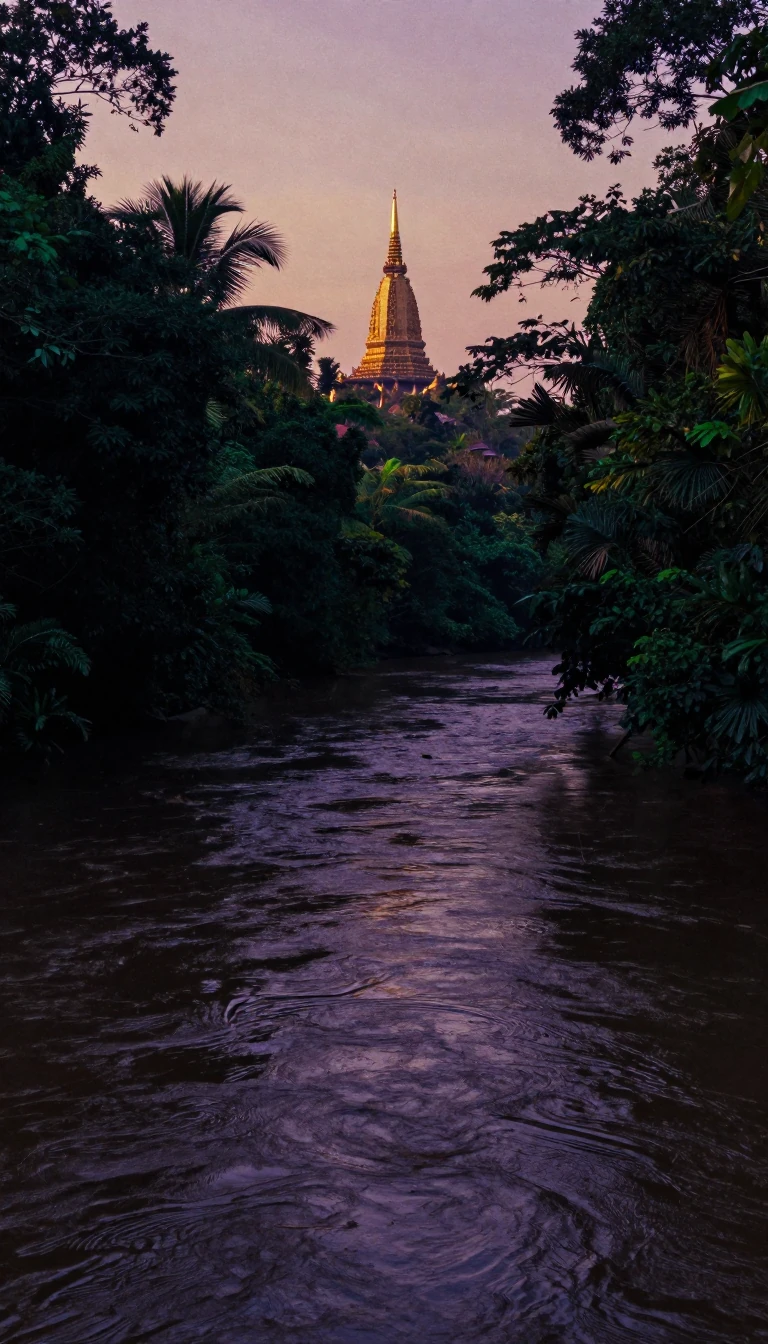 Angkor was the world's largest pre-industrial city, sustained by a massive hydraulic network.Deep in the Cambodian forest lies Angkor, the former capital of the Khmer Empire. Once home to nearly a million people, this sprawling urban center functioned as a sophisticated h…
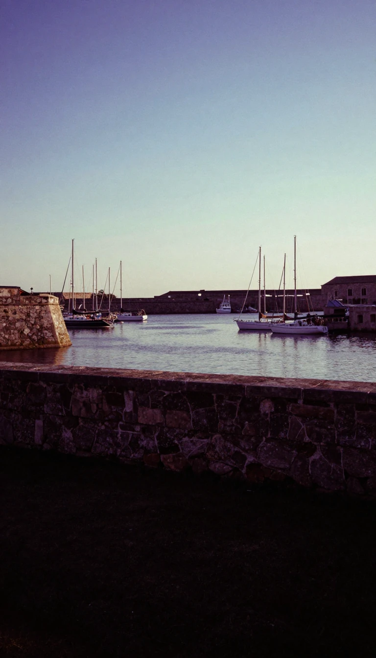 How a coastal stronghold became the playground and breadbasket of the Roman EmpireAntium began as a fortified Volscian stronghold, but its strategic location on the Tyrrhenian coast transformed it into a vital Roman asset. From a naval power whose captured ship…
 The lost Celtic capital that controlled the trade routes of ancient GaulPerched on Mont Beuvray, Bibracte was once a thriving metropolis of thirty thousand people. As the Aedui capital, it commanded the commercial crossroads between Rome and the Celti…
- Ancient volcanic eruptions enabled one of the world's oldest and most complex aquaculture systems.The Gunditjmara people of Australia transformed a rugged volcanic landscape into a sophisticated, permanent agricultural society thousands of years ago. By engineering vast networ…
 How a small Greek colony in Italy shaped the alphabet used by the worldFounded in the 8th century BCE, Cumae was the first Greek colony on the Italian mainland. It became a powerhouse of Mediterranean culture, serving as the bridge that transmitted t…
 Why some lands are not quite states, provinces, or regionsA territory is more than just land. In international politics, it is a specific legal status for areas that lack full self-government or remain outside a nation's core structure. …
 The landscape is not just a backdrop, but a living record of human identityWe often view the world as a fixed stage, but cultural geography reveals that landscapes are actively shaped by us. From the way we name streets to the way we build cities, every …
 Is the subantarctic a precise geographic zone or a shifting, contested scientific frontier?The subantarctic region is a complex belt of islands and oceans sitting between the temperate world and the frozen Antarctic. While defined by the Antarctic Convergence, its bound…
 Before Bogotá existed, the Muisca people ruled a powerful territory called BacatáLong before the Spanish arrived, the Bogotá savanna was the seat of the zipa, the ruler of the Muisca Confederation. Known as Bacatá, this region was a hub of gold-working, salt-t…
 Why the length of a coastline changes depending on how you measure itIs a coastline a fixed boundary or a shifting measurement? In geography, the answer depends entirely on your scale. Depending on the resolution you choose, the same physical featu…
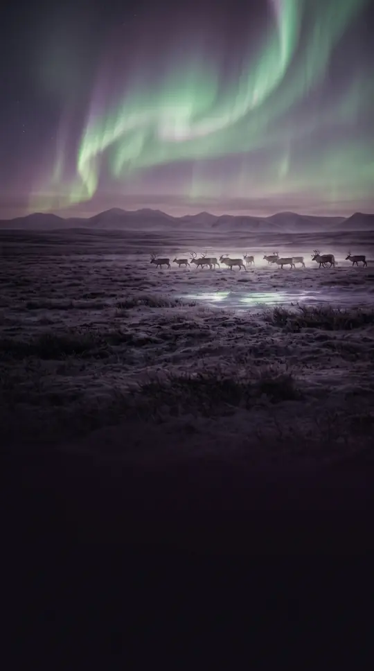 The Subarctic is a vast, frozen frontier where permafrost dictates the limits of life.Spanning the northern reaches of the globe, the Subarctic is defined by its harsh boreal forests and enduring permafrost. While indigenous cultures have thrived here for centuries…
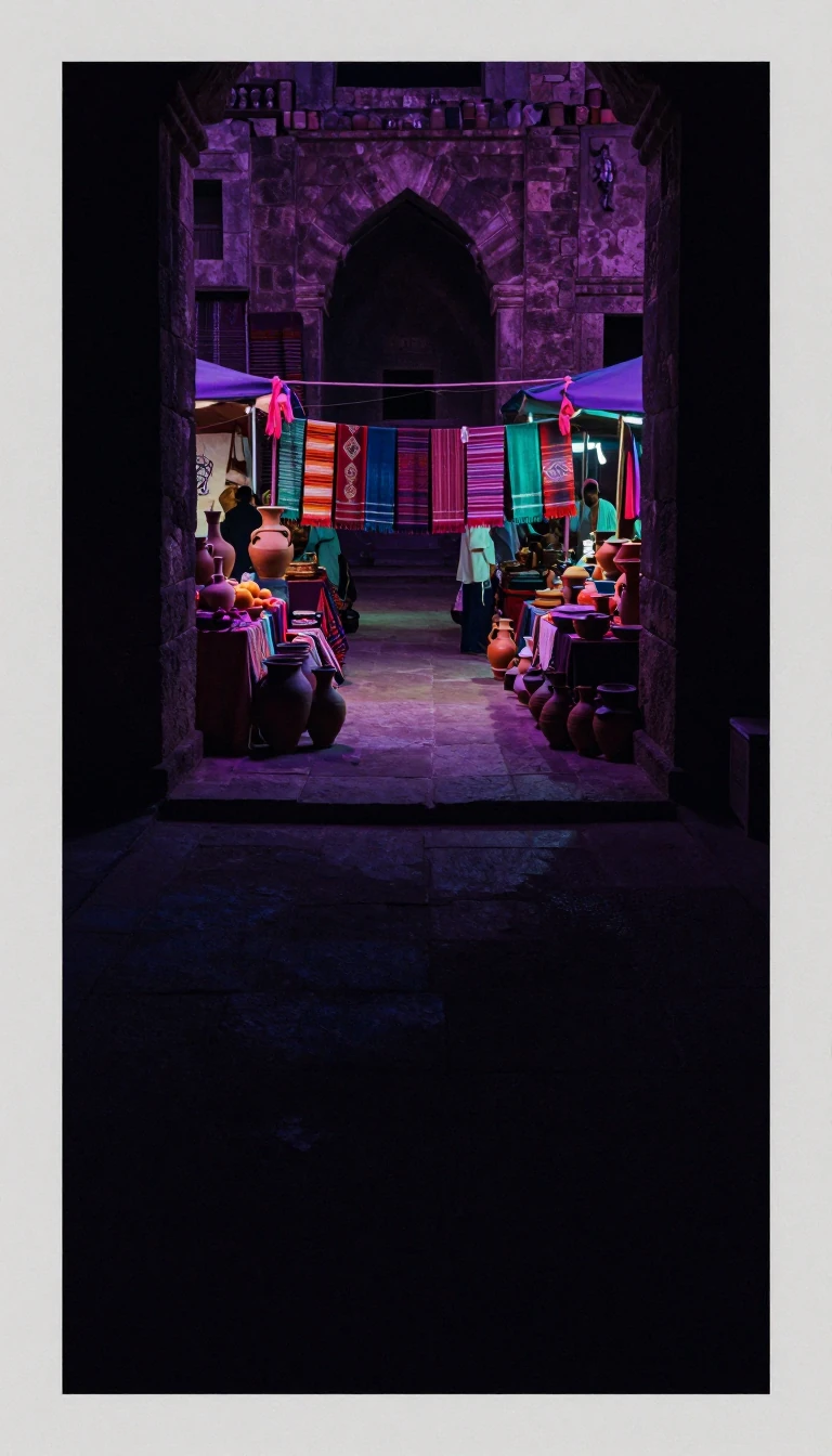 Ascalon: The Ancient Mediterranean Port That Shaped Empires Over Five MillenniaFrom its origins as a Bronze Age trade hub to its role as a fiercely contested Crusader fortress, Ascalon has stood as a strategic gateway for millennia. Once a powerful Philistin…
- Abydos: The Sacred Egyptian Necropolis Hidden Beneath Modern Town LifeAbydos was once a vital center of ancient Egyptian life and death. Today, this historic site remains a treasure trove of royal history, yet much of its architectural legacy is per…
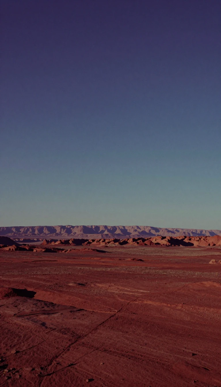 Earth is divided into two distinct halves based on the dominance of land or sea.If you could rotate the globe to maximize land coverage, you would center it on France. Flip that perspective to the opposite side of the planet, and you find a vast, watery expan…
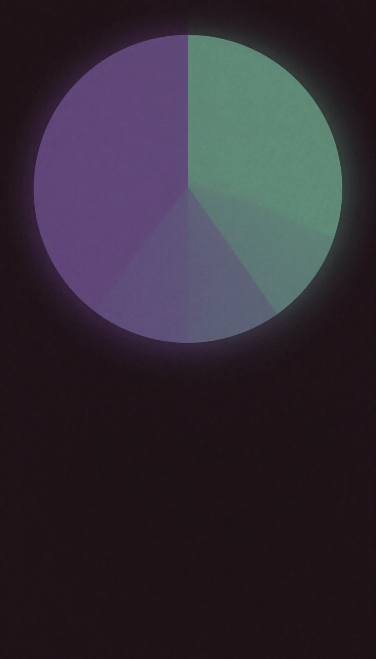 Why your precise GPS coordinates are actually just a relative measurement of the EarthWe often think of location as a fixed, absolute point on a map. Yet, geography reveals that even the most precise coordinates are inherently relative. Whether you are using a grid…
 Why the places you inhabit are fundamental to the person you becomePlace identity is more than just a zip code; it is a complex psychological bond where your surroundings shape your sense of self. From urban planning to environmental psychology, …
 Why defining the world's regions is more art than exact scienceRegional geography seeks to understand the unique blend of natural and human elements that define specific places. Once the dominant paradigm in the field, this approach has faced…
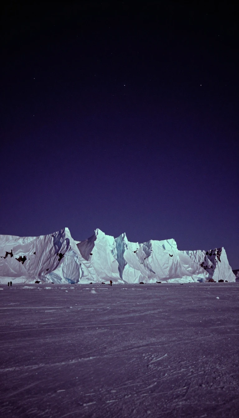 The massive frozen reservoir holding 80 percent of Earth's fresh waterAntarctica is far more than a desolate wasteland. As the world's largest ice desert, this southernmost continent contains a staggering 7 million cubic miles of ice. Its sheer scal…
 Why your map of the world is hiding the real story of human identityWe often view the world through the lens of modern nation-states, yet this perspective blinds us to older, more enduring structures. Historical regions—geographical areas defined …
 How the ancient art of mapping the past evolved into modern digital intelligenceHistorical geography tracks how places change over time, from Herodotus’s early observations of the Nile to today’s sophisticated digital systems. By layering thematic data, we ca…
 South America is a geological bowl, ringed by mountains and defined by vast rivers.South America is far more than a tropical rainforest. It is a continent-sized basin, shaped by the young, restless Andes and ancient eastern highlands. From the arid Atacama Deser…
- Why global economic activity is shifting away from the coast toward the interiorDevelopment geography maps how economic, social, and environmental forces shape human opportunity across space. Recent research reveals a surprising trend: economic output is migr…
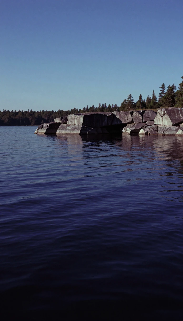 North America is a geologically ancient continent built from colliding microcontinents and volcanic shifts.Spanning from the Arctic to the tropics, North America is more than just a landmass. It is a complex puzzle of ancient cratons, shifting tectonic plates, and glacial history. Bene…
 Europe is a continent defined more by its complex peninsulas than by rigid bordersEurope is not a simple landmass but a vast, interconnected collection of peninsulas and islands. While often viewed as a distinct continent, its geography is defined by a striking…
 Asia is not a fixed place, but a fluid concept defined by ancient shores.Asia is not a single, objective landmass, but a shifting collection of regions defined more by historical convention than physical reality. From the ancient Greek obsession with g…
 Why the Earth is divided into five distinct climate zones based on latitudeEarth is partitioned into five geographical zones defined by major circles of latitude. These regions, ranging from the icy poles to the sun-drenched tropics, dictate the planet's…
- Beyond maps: How geographers decode the complex spatial relationships of our modern worldA geographer does far more than chart coastlines or identify mountain ranges. These professionals analyze how natural environments and human societies interact across space. By in…
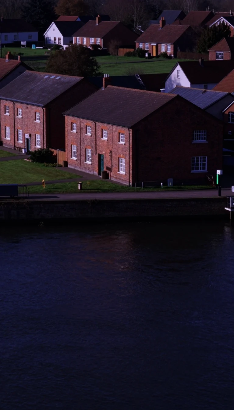 Why are there so many small villages but so few large cities?Central-place theory explains the logic behind our urban landscape. By analyzing how settlements provide goods and services, geographers can predict why towns are spaced the way t…
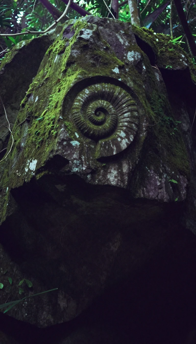 Why Nigeria's Taraba State is known as Nature's Gift to the NationTucked into eastern Nigeria, Taraba State is a landscape of extremes. From the tsetse-free highlands of the Mambilla Plateau to the fertile, river-drained savannas, this region su…
 The French language connects 327 million people, but most are not native speakers.The term Francophonie describes a vast global network of people and institutions united by the French language. While it spans 50 countries across every inhabited continent, the r…
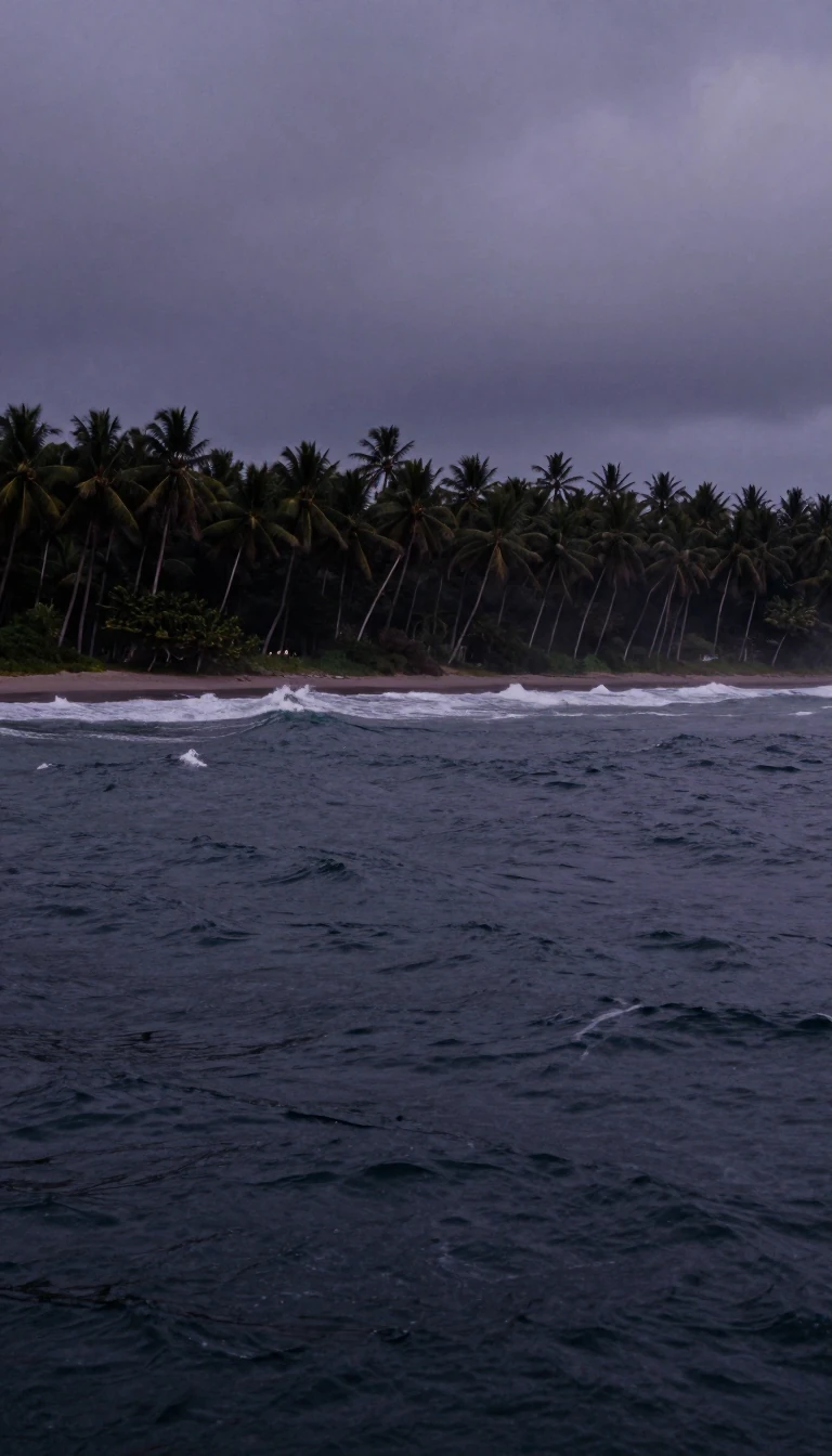 The volcanic eruption that changed the world's climateIn 1815, the massive eruption of Mount Tambora shook the entire Indonesian archipelago. This cataclysmic event didn't just destroy local kingdoms; it sent shockwaves through the g…
- Why the physical landscape dictates the rise and fall of global economic powerEconomic geography explores how our physical world shapes human prosperity. From ancient trade routes to modern digital hubs, the environment remains a silent architect of wealth.…
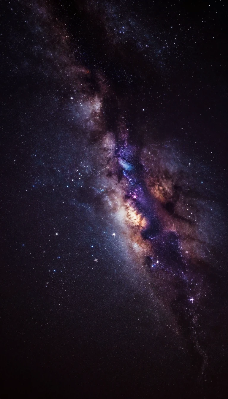 The North Star is not permanent, and it will eventually abandon the northern sky.If you look at the night sky, the stars appear to rotate around a single, fixed point. This is the celestial pole, the projection of Earth's axis into space. While Polaris current…
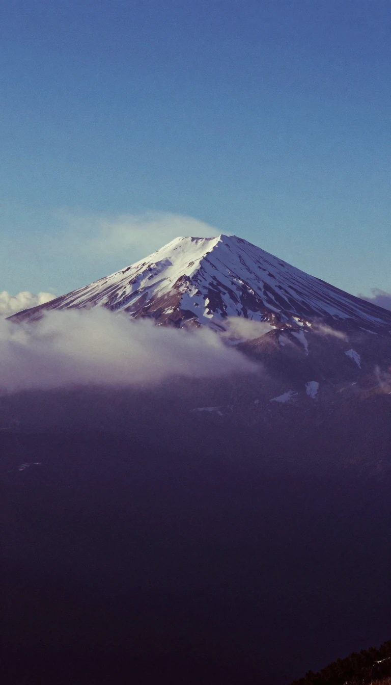 Altitude is not just height; it is a complex measurement of pressure and performance.In aviation, altitude is a multifaceted metric, ranging from absolute height above terrain to pressure-based flight levels. Beyond the cockpit, altitude dictates human physiology,…
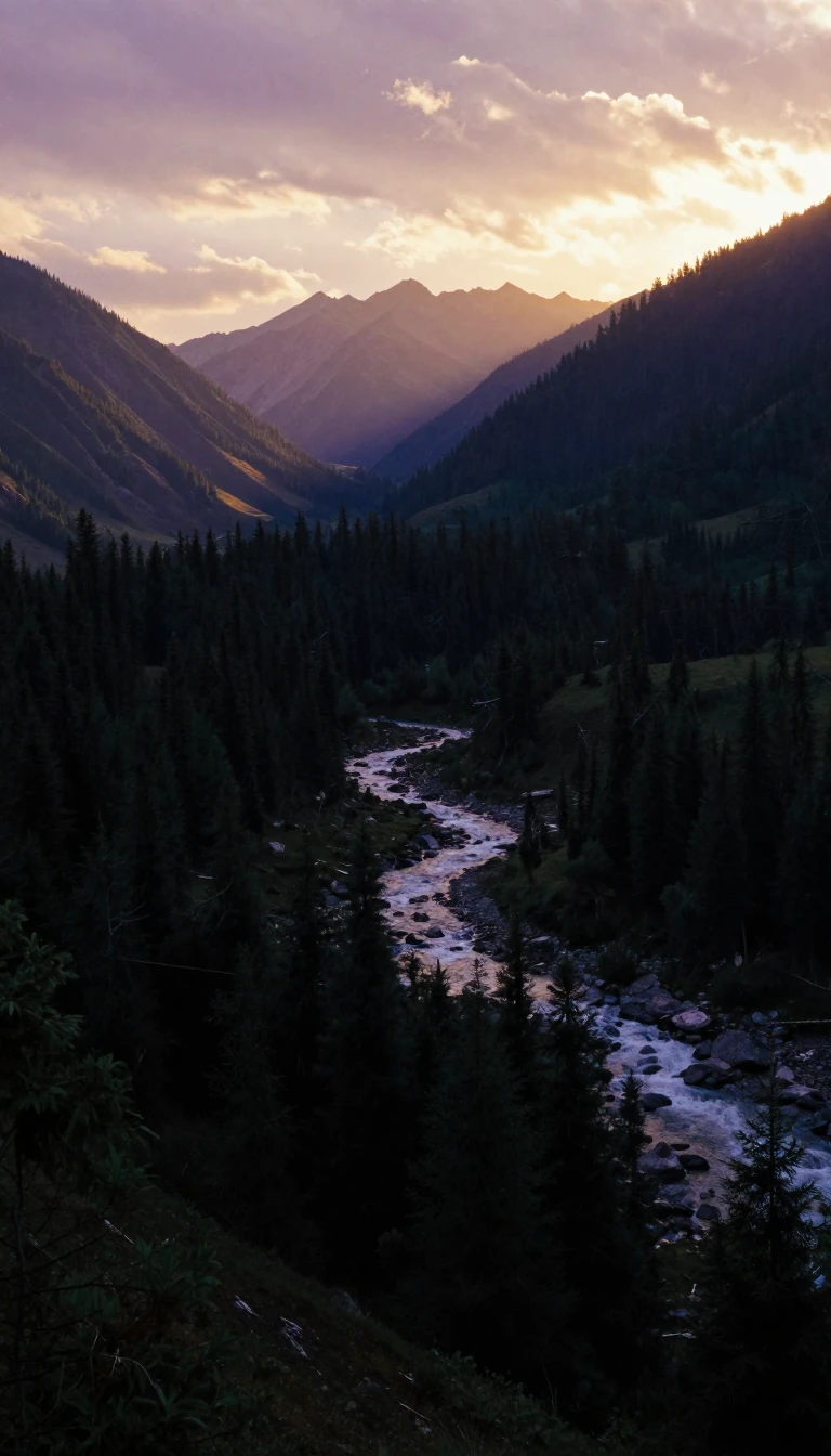 Could organizing society around natural watersheds instead of political borders create a fairer world?Bioregionalism suggests that our economic and cultural systems are more sustainable when aligned with the natural boundaries of the earth rather than arbitrary national lines. By …
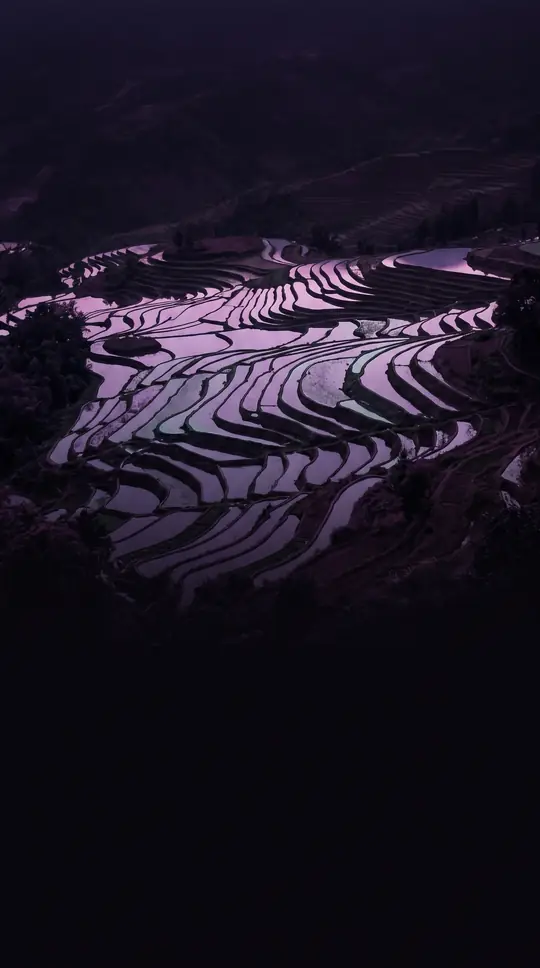 Why Taiwan's Yunlin County remains a unique anomaly among the island's administrative divisionsYunlin County is a central-western Taiwanese region defined by its agricultural heritage and a peculiar administrative distinction. While it serves as a vital hub for the island's…
 Yobe State: A vast agricultural heartland shaped by geography, conflict, and resilienceCarved from Borno State in 1991, Yobe is a northeastern Nigerian region defined by its dry savanna climate and significant agricultural output. While home to one of Africa's large…
- The Zamboanga Peninsula is a region defined by centuries of shifting borders and names.Known as the Zamboanga Peninsula, this Philippine region has evolved through colonial conflicts, sultanates, and administrative reorganizations. From its roots as a mooring place …
 The 180th meridian is a global boundary that confuses both travelers and computer software.Known as the antimeridian, this line sits exactly 180 degrees from the prime meridian. While it mostly traverses the open Pacific, it creates a unique geographic headache: it serv…
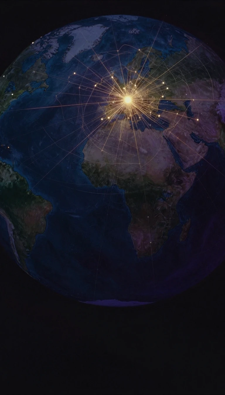 Afro-Eurasia is the largest contiguous landmass on Earth, holding 86% of the human population.Spanning over 85 million square kilometers, Afro-Eurasia is more than just a collection of continents. It is a dynamic, shifting supercontinent-in-waiting that contains the vast m…
- Zamfara State: From Ancient City-State to Modern Nigerian FrontierOnce a flourishing 11th-century Hausa kingdom, Zamfara is now a complex northwestern Nigerian state defined by its agricultural roots, vast gold deposits, and ongoing struggles wi…
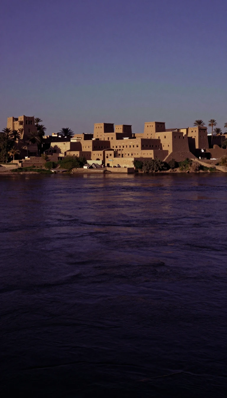 What defines the strategic landscape of Sudan's White Nile State in the modern era?Spanning nearly 40,000 square kilometers, White Nile State serves as a critical administrative division within Sudan. While its geography connects it to major regions like Khartou…
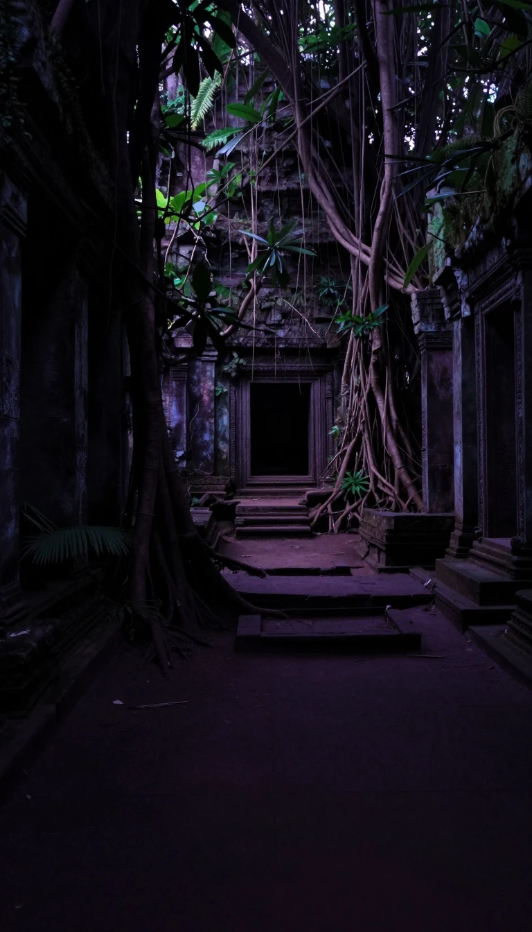 The legend of a calf that tore apart a bull to name a nation.West Sumatra is known as Bumi Minangkabau, or Land of Minangkabau. The name stems from a local legend where a small, nursing calf defeated a large, aggressive bull in a competitio…
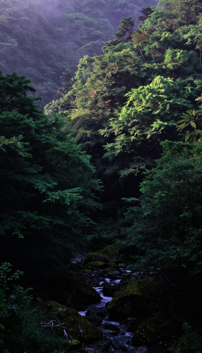 Why Japan's mountainous Yamagata Prefecture is a hidden treasure of history and extreme weatherTucked away in the Tōhoku region, Yamagata Prefecture is a land of dramatic contrasts. From the sacred peaks of the Three Mountains of Dewa to the world-record snowfall in its val…
- Yamanashi Prefecture: A Landlocked Mountain Stronghold Shaping Japan's Industrial and Cultural FutureNestled in the heart of Honshu, Yamanashi is a landlocked prefecture defined by its dramatic peaks and deep valleys. Once a Sengoku-era power base for the legendary Takeda Shingen…
- How a tiny Pacific island state once commanded a vast maritime empireYap State is more than a remote Micronesian outpost. Once the seat of a powerful empire spanning 1,300 kilometers of the Pacific, this island chain has navigated centuries of colo…
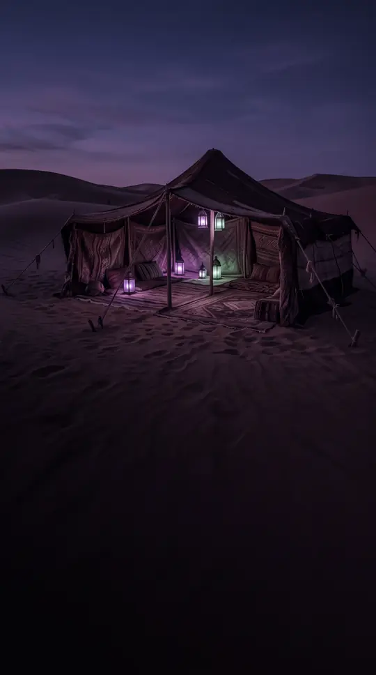 How an ancient desert city mastered survival through clever engineering and religious harmonyLocated on the Iranian plateau, Yazd is a living testament to human ingenuity in extreme environments. By harnessing the qanat water system and pioneering earthen architecture, th…
- How a remote corner of Honshu became the Kyoto of the WestLocated at the western tip of Japan's main island, Yamaguchi Prefecture has evolved from a medieval cultural hub modeled after Kyoto into a powerhouse of modern industry. From sam…
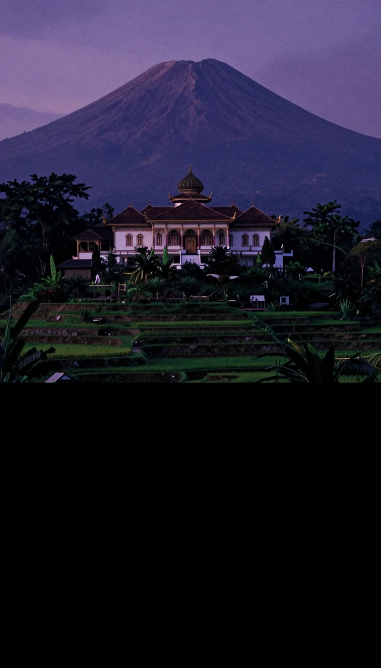 The province of a thousand rivers and a history of shifting bordersSpanning 147,018 km², West Kalimantan is a landscape defined by water. From the massive Kapuas River to the equator-straddling city of Pontianak, this Indonesian province holds a …
 South Hamgyong: A Strategic North Korean Province Defined by Its Geography and HistoryTracing its origins to the late 19th century, South Hamgyong Province serves as a vital administrative region within North Korea. Bordered by the Sea of Japan and several neighbor…
- Why is Indonesia's most populous province home to a mountain-dwelling capital city?West Java is a land of extremes, housing over 50 million people and serving as the industrial heart of Indonesia. Unlike most coastal provinces, its capital, Bandung, sits high in…
 Western Visayas is a region defined by shifting borders and a rich linguistic tapestry.Comprising the islands of Panay and Guimaras, Western Visayas is a vibrant Philippine region known for its world-famous beaches, colonial heritage, and diverse local languages. Ye…
 How China is reshaping its vast western frontier through rapid urban migration and industrializationWestern China, a sprawling region encompassing ten distinct administrative areas, is undergoing a massive transformation. Under a strategic modernization plan, the government is a…
- Beneath the ice of West Antarctica lies a complex, 500-million-year-old geological puzzle.West Antarctica is far more than a frozen expanse. It is a geological mosaic shaped by half a billion years of magmatism, continental growth, and fragmentation. Understanding its …
 Why West Azerbaijan is a complex crossroads of ancient history and shifting bordersLocated in Iran's northwest, West Azerbaijan is a region defined by its strategic geography and diverse cultural heritage. From the ancient Mannaean civilization to modern politic…