 Intellect Plus
Countries & Cities
15,123 cards. Each one is a 40-second story with a five-minute read behind it. Page 184 of 253.
Subtopics: Africa · Americas · Ancient cities & ruins · Asia · Australia & New Zealand · Basics · Bodies of water · Canada · Capes · Capital cities · Caribbean & Pacific islands · Castles & palaces · Cathedrals & churches · China · Cities · Countries · Countries and other regions · Countries of the world · Countries: General · Deserts · Eastern Europe · Europe and Russia · Famous landmarks · Famous streets & squares · Flags & symbols · France · Germany & Central Europe · Ghost towns · Greece & Turkey · Historical cities · Historical cities, towns and archaeological sites · India & South Asia · Islands · Isthmuses · Italy · Japan & Korea · Land relief · Major world cities · Maps & cartography · Microstates & enclaves · Middle East · Mountain peaks and volcanos · Mountains · National parks · Non-city settlements · Oceania · Other hydrological features · Other terrestrial features · Parks, preserves, and World Heritage Sites · Peninsulas · Polar regions · Ports & harbours · Regions and country subdivisions · Rivers & lakes · Scandinavia · Seaside towns · South America · Southeast Asia · Spain & Portugal · Technical geography · UK & Ireland: places · UK & Irish cities · United States landmarks · Urban studies and planning · US cities · Vegetation features · World Heritage Sites
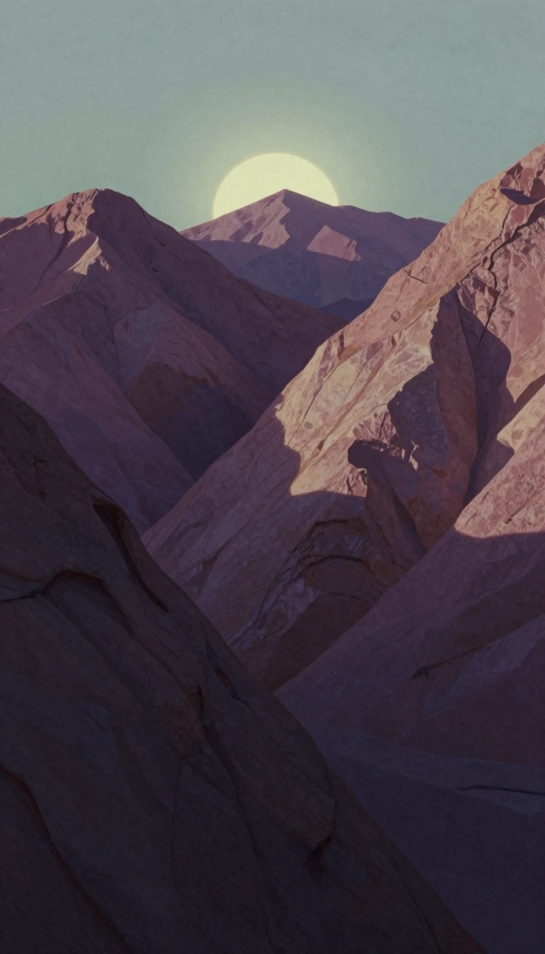 How two rivers carved a massive limestone canyon into the Moroccan High Atlas MountainsDeep within the eastern High Atlas Mountains of Morocco lies the Todgha Gorge, a dramatic series of limestone canyons. Carved by the relentless action of the Todgha and Dadès rive…
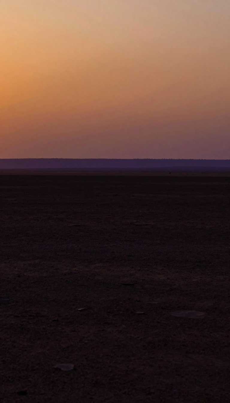 The Tibesti Mountains are a massive volcanic fortress rising from the Sahara's heart.Spanning 100,000 square kilometers, the Tibesti range is the largest in the Sahara. This rugged volcanic landscape, home to the Toubou people for centuries, acts as an ecological …
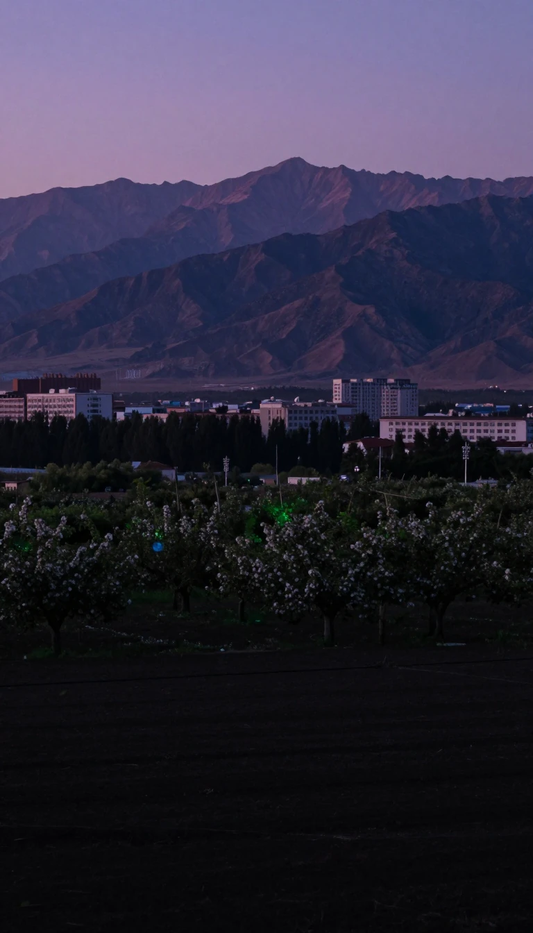 The Taihang Mountains define the geography and nomenclature of northern China's provincesSpanning 250 miles, the Taihang Mountains act as a formidable natural boundary between the Shanxi plateau and the North China Plain. This range is so central to the region's ident…
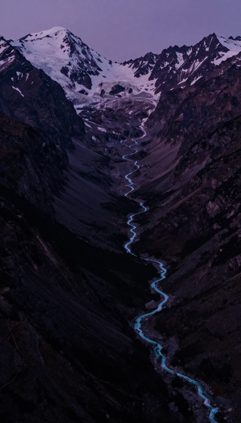 The Yangtze River's Three Gorges are a geological wonder transformed by modern engineering ambitionSpanning 193 miles, the Three Gorges of the Yangtze River have long captivated travelers with their precipitous limestone cliffs and swirling currents. Once a treacherous waterway…
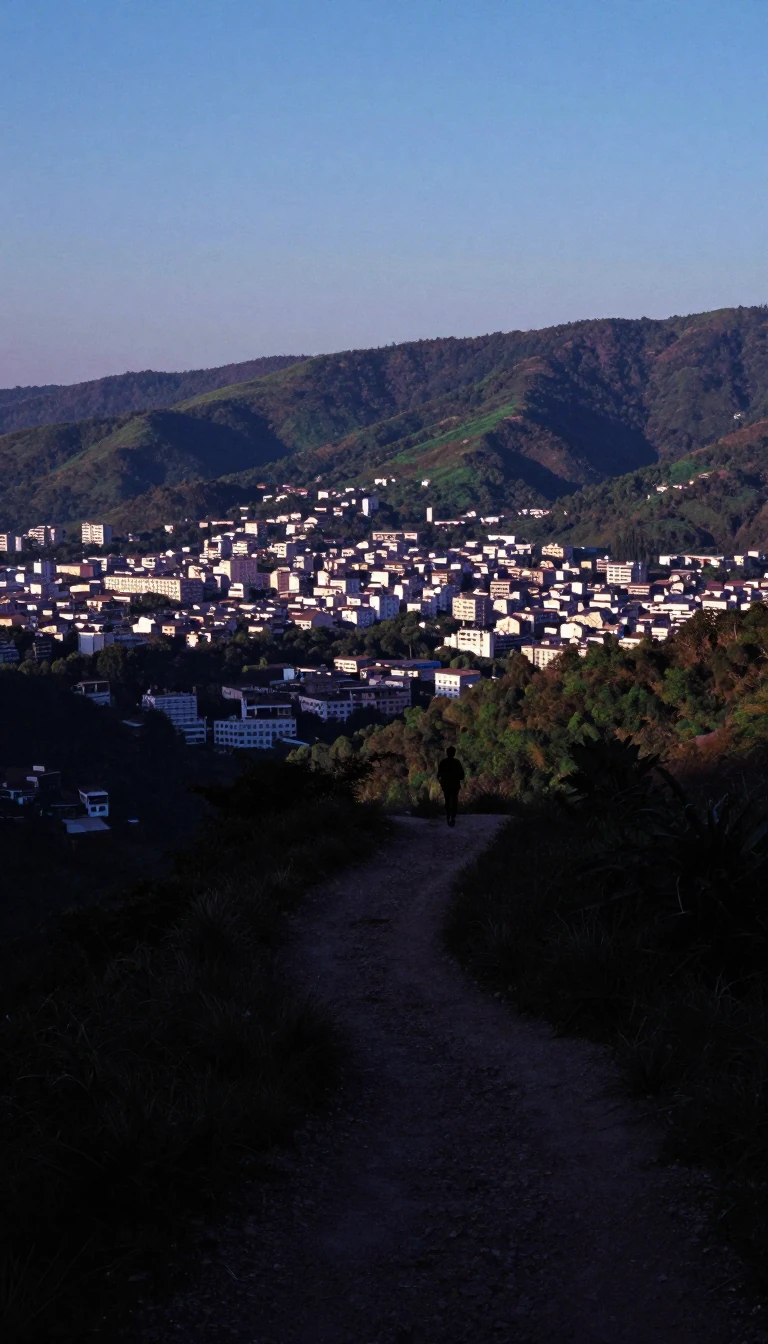 The Taurus Mountains: A tectonic barrier that shaped ancient empires and modern geographySpanning southern Turkey, the Taurus Mountains act as a massive natural wall between the Mediterranean coast and the Anatolian Plateau. Formed by the grinding together of tectonic…
 Is the world's most dangerous volcano hiding in plain sight within a lake?Taal Volcano is not just a mountain; it is a complex, active caldera system in the Philippines. Its heart, Volcano Island, sits inside a massive lake, hosting a crater lake of its…
 How a shallow ancient sea transformed into a towering labyrinth of stoneIn Yunnan, China, thousands of limestone pillars rise from the earth like petrified trees. This surreal landscape, known as the Stone Forest, was carved over 270 million years. On…
 Why a 65-kilometre stretch of Polish border is NATO's most critical strategic vulnerability.The Suwałki Gap is a sparsely populated, hilly region connecting Poland to the Baltic states. Because it sits between the Russian exclave of Kaliningrad and Belarus, military plan…
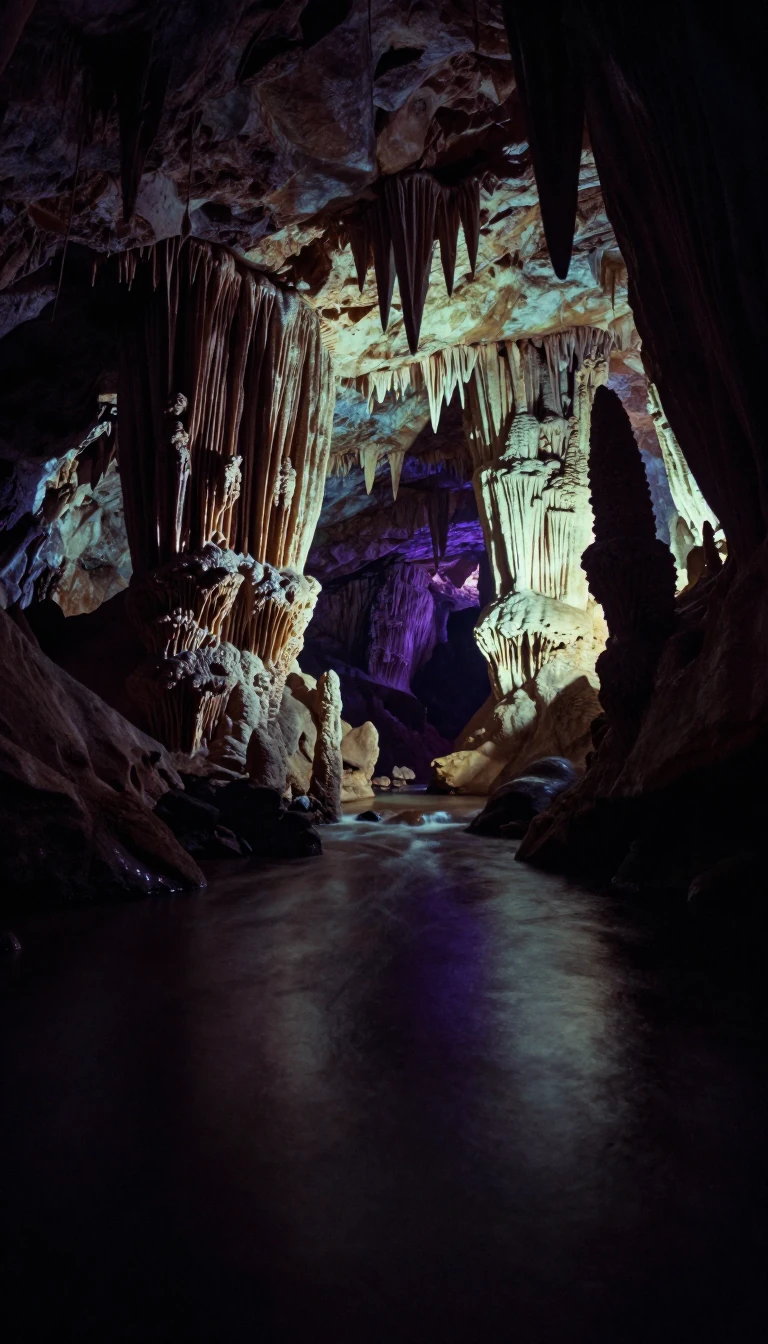 Slovak Paradise is a rugged mountain range defined by vertical ladders and hidden canyonsTucked away in the Western Carpathians, this eastern Slovakian landscape is a karst plateau transformed by ancient rivers into a labyrinth of deep gorges and waterfalls. Hikers na…
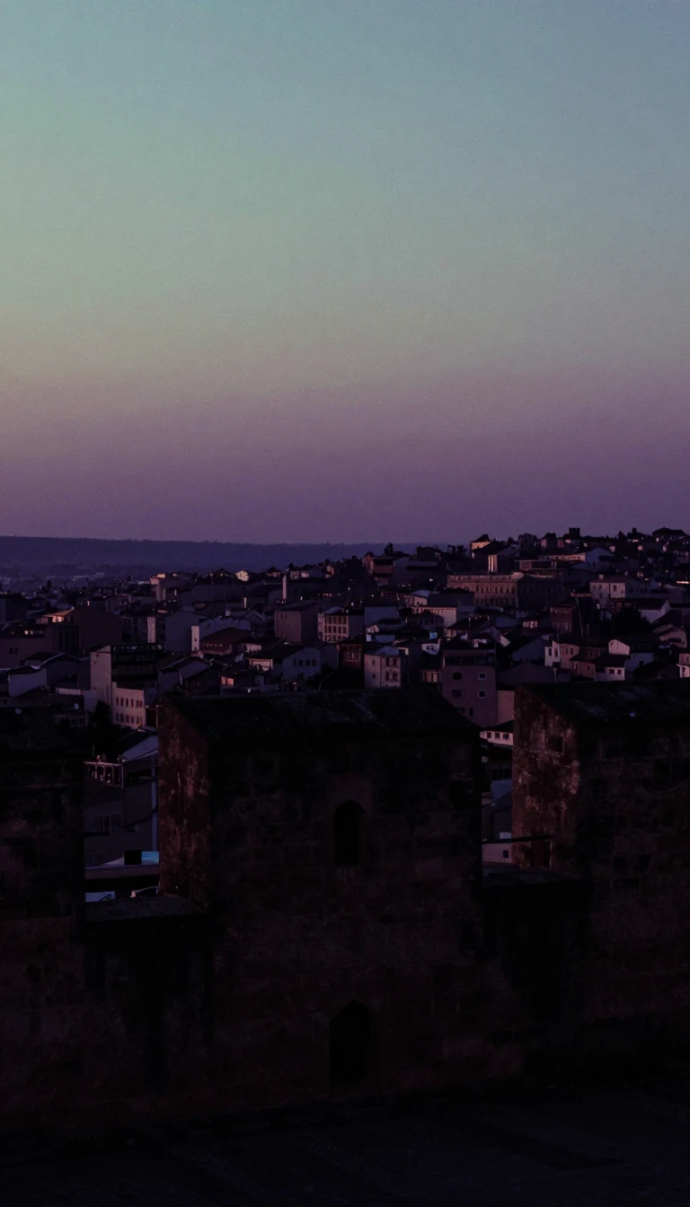 How a strategic port city in Gujarat became a pioneer of Indian statehoodFounded in 1723, Bhavnagar transformed from a small chieftainship into a prosperous maritime hub. Its rulers prioritized trade and progressive urban planning, eventually securing …
- Where the Siberian tiger meets the taiga in a unique mountain collisionThe Sikhote-Alin range is a biological crossroads where northern taiga meets southern subtropics. Stretching along the Sea of Japan, this remote Russian landscape hosts an extraor…
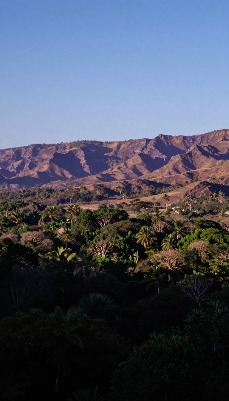 The Sierra Madre Occidental is a massive, water-rich fortress rising above Mexico's arid plains.Running parallel to the Pacific, this volcanic mountain range acts as a vital hydrological engine for northwestern Mexico. Its formidable canyons and high plateaus create isolated…
- The Sierra Madre Oriental is a massive, folded mountain range defining Mexico's eastern landscape.Running parallel to the Gulf of Mexico, this vast mountain system acts as a rugged gateway between coastal lowlands and the central Mexican Plateau. Composed of ancient sedimentar…
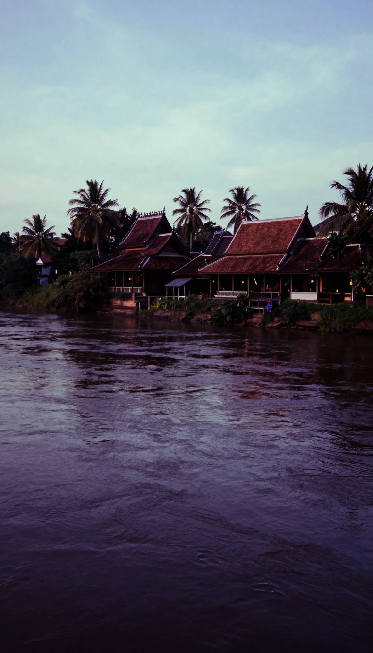 Bắc Ninh: A City of Northern Serenity That Recently Vanished From the MapMeaning northern serenity, the Vietnamese city of Bắc Ninh served as a vital administrative and cultural hub for over a century. From its colonial history as a French-occupied str…
- A rugged mountain spine in Mexico hides deep caves and diverse indigenous culturesSpanning 300 kilometers, the Sierra Madre de Oaxaca is more than a geological barrier. It is a complex mosaic of limestone peaks, subterranean labyrinths, and distinct cultural ho…
- How a mountain-walled basin became China's fertile breadbasketSurrounded by high peaks and shielded from freezing northern winds, the Sichuan Basin is a geological anomaly. While much of its terrain is rugged and hilly, this lowland region h…
- The Sierra Madre de Chiapas: A Rugged Backbone Shaping Central American Life and LandscapeRising sharply from the Pacific coast, the Sierra Madre de Chiapas is a formidable mountain range spanning southeastern Mexico and western Guatemala. Beyond its striking peaks, wh…
- Mexico's rugged southern spine is a complex labyrinth of peaks and hidden valleysThe Sierra Madre del Sur is more than a mountain range; it is a geologically intricate barrier stretching across southern Mexico. Defined by steep slopes and deeply dissected terr…
 The hidden cradle of your garden: why these Chinese mountains matter to every gardenerIf you grow geraniums, lilies, or lady slipper orchids, you are likely tending to descendants of the Hengduan Mountains. This rugged range in southwestern China acts as a massive …
 Why the Shan Plateau is a geographic misnomer for this massive mountain systemThe Shan Hills stretch across Myanmar, Thailand, and Yunnan, yet they are frequently mislabeled as a plateau. In reality, this rugged landscape is defined by narrow valleys, steep…
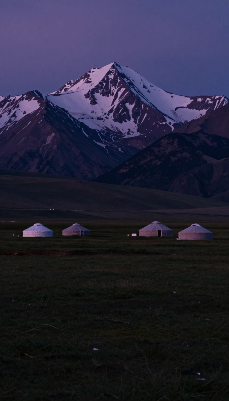 The Sayan Mountains: A High-Altitude Cradle of Ancient Reindeer Herding and Linguistic RootsSpanning the border of Russia and Mongolia, the Sayan Mountains are far more than a rugged watershed. This vast system served as a historic geopolitical boundary and is widely con…
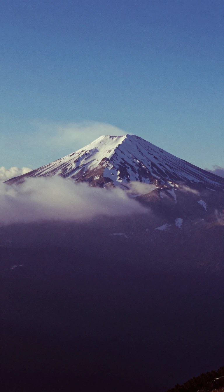 The Sawatch Range holds the highest peaks in the entire Rocky Mountain chainCentral Colorado is home to the Sawatch Range, a massive, high-altitude spine that dominates the Rockies. With fifteen peaks exceeding 14,000 feet, this range serves as a critical…
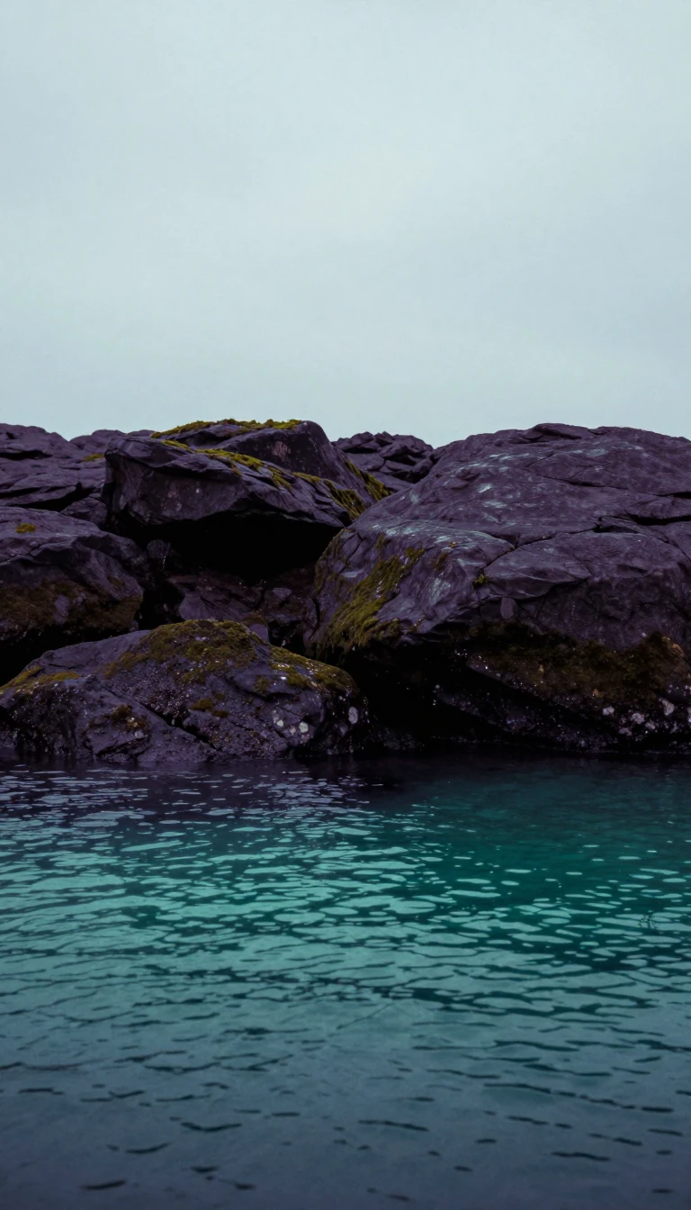 A landscape sculpted by ice and ancient fractures into a labyrinth of waterThe Finnish Lakeland is not merely a scenic region; it is a geological masterpiece. Carved by retreating glaciers and shaped by the erosion of bedrock fractures, it contains a sta…
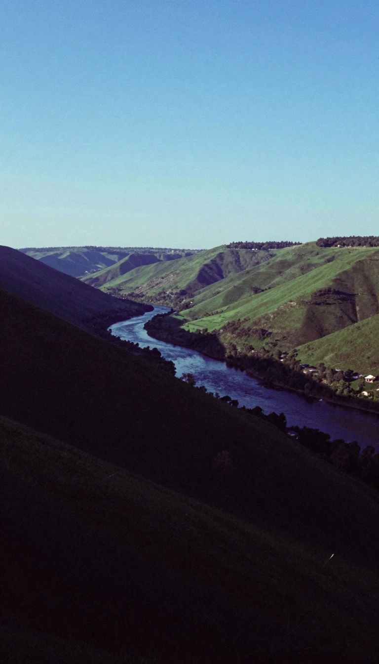 The Qinling Mountains serve as the definitive natural divide between North and South ChinaSpanning Shaanxi Province, the Qinling range acts as a massive climatic and ecological barrier. By blocking weather patterns, it creates a sharp contrast between the semi-arid nor…
 Why Turkey’s shimmering cotton castle is actually a giant, slow-motion chemical reactionPamukkale, or cotton castle, is a surreal landscape of white travertine terraces in southwestern Turkey. While it looks like frozen snow, it is a living geological formation shape…
- How sixty million years of erosion sculpted the towering sandstone spires of Bohemian ParadiseLocated just five kilometres from Jičín, the Prachov Rocks are a striking geological formation within the Czech Republic. Once a solid sandstone plateau, these dramatic towers hav…
 Why this hidden Spanish glacial valley remains a geological anomaly in the PyreneesTucked away in the Spanish Pyrenees, the Ordesa Valley defies the typical geography of its surroundings. While most valleys in the range run north to south, this eleven-kilometre …
 The Pontic Mountains: A towering barrier between the Black Sea and Anatolian plainsStretching along Turkey's northern coast, the Pontic Mountains act as a massive climatic wall. These peaks, known historically as the Paryadres, create a sharp divide between the …
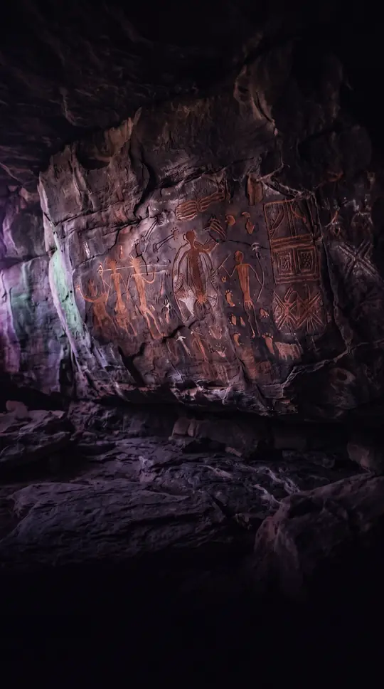 Why these thirty-six massive desert domes are far more than just red rockRising from the Australian desert, Kata Tjuta is a collection of thirty-six ancient, weathered domes. While often overshadowed by its famous neighbor, Uluṟu, this sacred site hold…
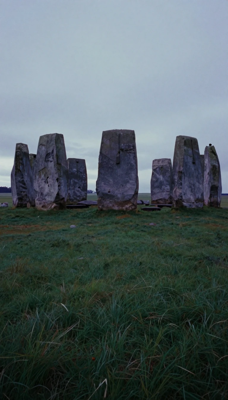 The vast, flat engine room that powers much of the European continent's industrial mightStretching from the French-Spanish border to the Ural Mountains, the North European Plain is a massive, low-lying expanse that defines the continent's geography. Shaped by ancient…
- The Nyainqêntanglha Mountains act as a massive, high-altitude watershed dividing Tibet’s diverse drainage systems.Spanning hundreds of kilometers across the Tibetan Plateau, the Nyainqêntanglha range serves as a critical barrier between the Yarlung Zangbo River valley and the inland salt lake…
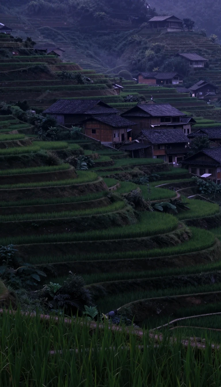 The Northeast China Plain is a vast, fertile basin shaped by centuries of conflict.Spanning 135,000 square miles, the Northeast China Plain is the heart of Manchuria. Once a natural highway for nomadic tribes and a battleground for competing empires, this lowlan…
- The North Cascades are a rugged, glaciated landscape hiding a complex, global geologic history.Spanning the U.S.-Canada border, the North Cascades are often called the American Alps. This dramatic, steep terrain is defined by deep valleys and hundreds of glaciers. Yet, bene…
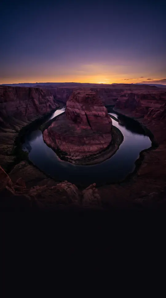 Why this cluster of sandstone buttes defined the global image of the American WestMonument Valley is more than a landscape; it is a cultural icon. Rising from the Colorado Plateau, its towering sandstone formations have shaped the world's imagination of the Ame…
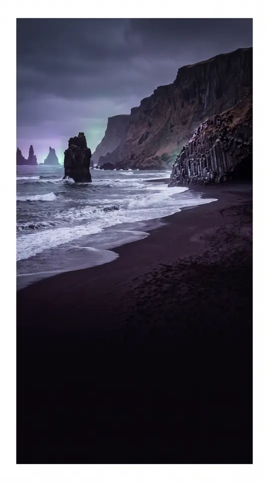 Mount Aso is not just a volcano but a massive, living geological engineSpanning a caldera 25 kilometers long, Mount Aso is one of the world's largest active volcanoes. Beyond its occasional eruptions, this Kyushu giant shapes the landscape, fuels loc…
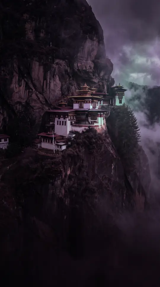 The Amazonian capital that survived the collapse of the rubber boomBorn from a railroad designed to bypass river rapids, Porto Velho has weathered extreme economic shifts. From the heights of the rubber boom to the discovery of tin and gold, this…
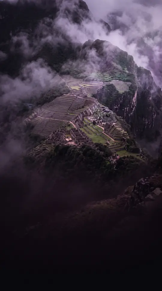 How a Chilean city built on Inca ruins became a global copper powerhouseNestled in the Andean foothills, Rancagua is more than a regional capital. Founded as Villa Santa Cruz de Triana in 1743, this city serves as the gateway to El Teniente, the world…
- The Kashmir Valley is a vast, ancient lake basin hidden within the HimalayasFlanked by the towering Pir Panjal and Great Himalayas, the Kashmir Valley is an asymmetrical basin that was once a prehistoric lake. Today, this fertile landscape serves as the h…
 The Colombian river city that moved itself to escape fireFounded in 1777, Montería has a history of shifting banks. After a native group burned the settlement in 1803, the residents abandoned their new location to return to the original…
- Why the first Spanish city in Peru was built in a desertFounded by Francisco Pizarro in 1532, Piura holds the title of Peru's first Spanish city. Yet, its original location proved so unhealthful that settlers were forced to relocate mu…
- How ancient lake beds transformed into a landscape of towering sandstone obelisks and mushroomsIn southwestern Bulgaria, the Melnik Earth Pyramids rise up to 100 meters, creating a surreal landscape of towers, cones, and mushroom-shaped formations. These geological wonders,…
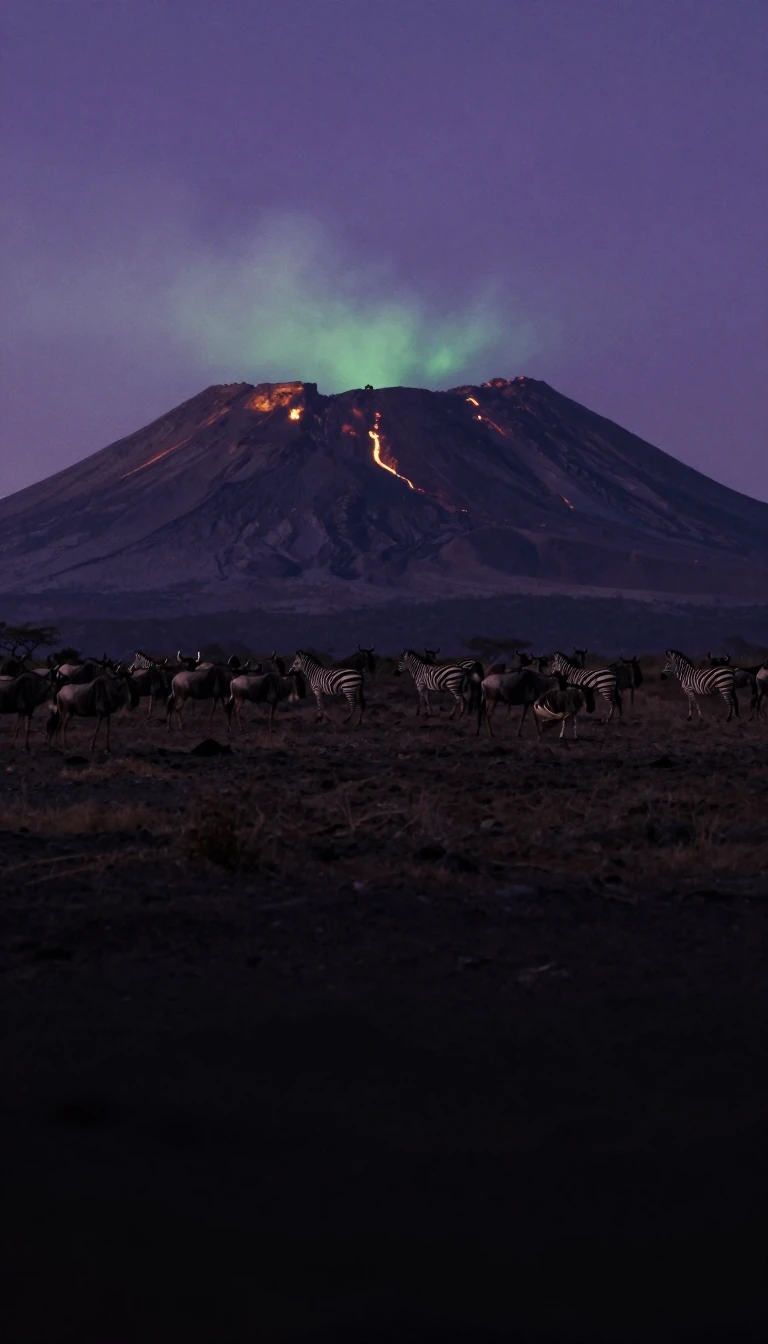 How a rugged volcanic range became a sanctuary for diverse cultures and intensive farmingSpanning 190 kilometers along the Cameroon-Nigeria border, the Mandara Mountains are more than just a volcanic landscape. Once a refuge for those fleeing conquest, this rugged ter…
- Why these massive, vertical rock towers in Spain are a climber's dream destinationRising 300 metres above the landscape, the Mallos de Riglos are a striking set of conglomerate rock formations in Aragon, Spain. These towering pillars, which sit near the foothil…
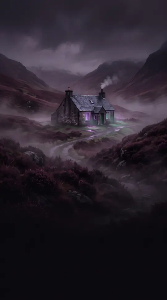 The geological fracture that carves through the heart of the Scottish HighlandsA massive geological fault line stretches 62 miles across Scotland, splitting the Highlands in two. This natural corridor connects the Moray Firth to Loch Linnhe, serving as a vit…
- The 650-kilometre mountain range that locals once called Cursed by GodStretching along the border of Turkmenistan and Iran, the Kopet Dag is a formidable geological barrier formed by the collision of tectonic plates. While its name is often debated …
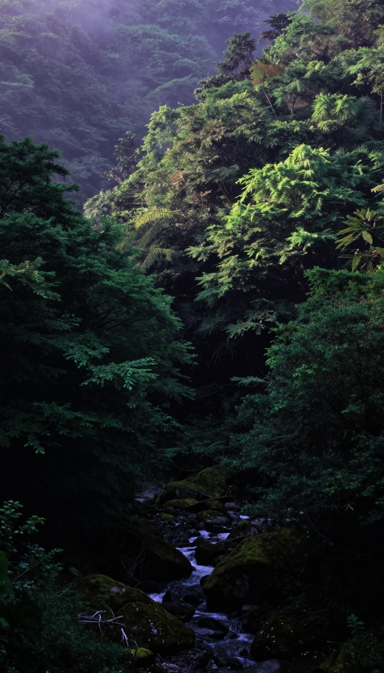 The Kantō Plain is Japan's most vital lowland, but its foundation is geologically unstable.Spanning over 6,000 square miles, the Kantō Plain is the heart of Japan, housing the capital city of Tokyo and its massive metropolitan population. Yet, this productive landscape …
- Why the Khangai Mountains are the warm, sacred heart of the Mongolian steppeLocated in central Mongolia, the Khangai Mountains defy the country's reputation for brutal cold. This range features unique microclimates that keep the region significantly warme…
 Cuiabá: The Brazilian City That Once Served as a Remote Exile for Troublesome PoliticiansDeep in the heart of South America, Cuiabá grew from a gold-rush settlement into a bustling state capital. Once so isolated that the government used it to banish political disside…
- A lush volcanic oasis rises unexpectedly from the arid plains of western SudanIn the heart of the Darfur region, a massive, circular volcanic range defies the surrounding desert. Known as Jebel Marra, this rugged massif reaches altitudes that create a uniqu…
- The Judaean Mountains: A Limestone Heartland Shaped by Ancient Tectonic ForcesRising to over 1,000 meters, the Judaean Mountains form a rugged, historic spine between the Mediterranean coast and the Jordan Rift Valley. Once home to prehistoric elephants and…
- How a valley floor became the highest point on the Tunisian plainThe Jugurtha Tableland is a geologic paradox. This massive limestone mesa, rising 600 metres above the surrounding landscape, was once the lowest point in its environment. Through…
 Japan’s longest fault line is the ancient scar where two continents once collidedThe Median Tectonic Line is more than a hazardous fault system; it is the geological suture that stitched Japan together. Formed 70 million years ago, this massive boundary marks …
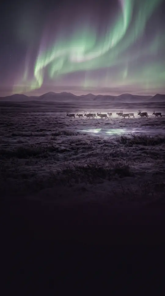 The massive, waterlogged expanse that defines Canada's northern edgeSpanning roughly 320,000 square kilometers, the Hudson Bay Lowlands represent Canada's largest wetland. This vast landscape of peat bogs and fens sits nestled between the ancient …
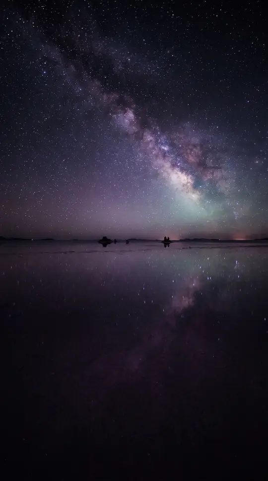 The Sahara's ancient volcanic heart hides a surprising sanctuary for rare desert lifeRising from the central Sahara, the Hoggar Mountains are a vast, rocky highland that defies the desert's harsh reputation. Far from a barren wasteland, this ancient landscape serv…
 The Itoigawa-Shizuoka Tectonic Line is a major fault zone on Japan's Honshu island.Often mistaken for the Fossa Magna, this massive geological boundary cuts across Honshu from the Sea of Japan to the Pacific coast. While the Fossa Magna is a broader rift zone, t…
- The High Atlas Mountains are a geological bridge between ancient continents and modern lifeSpanning central Morocco, the High Atlas range acts as a massive weather barrier and a living laboratory for geology. From its snow-capped peaks to its deep, erosion-carved canyon…
- The deepest river gorge in North America is much younger than we thoughtWhile the Grand Canyon is a global icon, Hells Canyon holds the title for North America's deepest river gorge. Spanning ten miles wide, this rugged landscape of the Western United…
 The Harz mountains were once the final stronghold of paganism in medieval Germany.Rising from the North German Plain, the Harz range is a landscape of extremes. It is a place where damp, raw plateaus meet dense spruce forests, and where ancient folklore and leg…
- How ancient glacial forces built the engine room of the Canadian economySpanning from the southern Ontario peninsula to the Atlantic coast, the Great Lakes–St. Lawrence Lowlands is Canada's smallest physiographic region. Despite its modest size, this …
- The Da Hinggan Range is a massive, tilted fault block shaping Northeast China's climate.Spanning 750 miles, this mountain system acts as a critical divide between the arid Mongolian Plateau and the lush Northeast Plain. Formed millions of years ago, these rounded mou…