 Intellect Plus
Nature
11,198 cards. Each one is a 40-second story with a five-minute read behind it. Page 178 of 187.
Subtopics: Ageing · Air · Animal behaviour · Animal breeds and hybrids · Animals · Arthropods · Atmosphere · Big cats · Bilateria, others · Birds · Botany · Cnidarians · Conservation · Coral reefs · Deep sea · Deserts · Dinosaurs · Earth science · Earth science and physical geography · Earth science basics · Earthquakes & tsunamis · Echinoderms · Ecology · Ecosystems · Endangered species · Extinct animals · Farming · Fish · Forests · Fungi · General classifications · Geology · Geomorphology · How Long Can It Live? · Ice · Individual animals · Insects · Lightning · Longevity · Mammals · Marsupials · Migration · Mollusks · Ocean · Organisms · Parasites · Physical geography · Plants · Porifera · Predators · Primates · Rainforest · Reptiles & amphibians · Researched · Sharks & rays · Spiders & arachnids · Symbiosis · Trees · UK & Ireland: nature · Vertebrates · Vision · Volcanoes · Water · Waves · Weather · Whales & dolphins · Zoology
 Fourteen main-stem dams power nearly half of U.S. hydropowerThe Columbia runs 1,243 miles from British Columbia's Rockies to the Pacific, draining a France-sized basin. Fourteen hydroelectric dams on its main stem—plus many more on tributa…
 The world's deepest river crosses the equator twiceOnly one major river crosses the equator twice: the Congo. Measured depths near 220 metres make it the deepest recorded river on Earth, while its discharge ranks third globally—be…
- Africa's great forest stores three years of global emissionsSecond only to the Amazon, Congolian rainforests cloak more than two million square kilometres across Central Africa—about a quarter of remaining tropical forest worldwide. Peat s…
 Tides on opposite sides of Cook Strait are almost out of phaseOnly twenty-two kilometres separate New Zealand's islands at Cook Strait's narrowest point, yet its tides are nearly inverted: high water on one end meets low on the other. Ferrie…
 Europe's second river links ten countries and four capitalsFrom Germany's Black Forest to the Black Sea delta, the Danube runs about 2,850 kilometres through or beside ten countries—second only to the Volga on the continent. Four national…
 The Caribbean hides the planet’s second-longest barrier reefThe Caribbean Sea covers about 2.75 million square kilometres of tropical North Atlantic between the Greater and Lesser Antilles, Central America, and northern South America. Its …
 Europe’s third-long mountain arc still shelters big carnivoresThe Carpathians arc roughly 1,500 kilometres across Central and Southeast Europe—third-longest on the continent after the Urals and Scandinavian ranges. From Austria and the Czech…
 Bulgaria’s Stara Planina named a whole peninsula by accidentThe Balkan Mountains run about 560 kilometres from Vrashka Chuka on the Bulgaria–Serbia border east to the Black Sea, dividing Black Sea and Aegean drainages along much of their c…
- A German mapmaker’s 1808 mistake still defines Southeast Europe“The Balkans” names a disputed southeastern European zone after Bulgaria’s Balkan Mountains. German geographer August Zeune coined the Balkan Peninsula in 1808, wrongly imagining …
- Shallow sills turn the Baltic into Europe’s great brackish bowlNine northern European states wrap an Atlantic arm that barely flushes—a shelf sea so exchange-poor it behaves like a vast inland water. Outflow squeezes through Danish straits to…
 Mauritania’s mudflats shelter a hemispheric bird metropolisBanc d’Arguin National Park guards the Atlantic shore between Nouakchott and Nouadhibou—the vanished Tamanrasset River mouth—as a World Heritage wetland founded in 1976 to shield …
 The Arctic’s warming hotspot is turning oddly AtlanticThe Barents Sea is a shallow Arctic Ocean shelf—average depth about 230 metres—shared by Norway and Russia off their northern coasts, once called the Murman Sea and renamed for Du…
 Rising seas drowned the plain that carried people to TasmaniaBass Strait parts Tasmania from mainland Victoria, linking the Great Australian Bight toward the Tasman Sea. Formed about 8,000 years ago when post-glacial seas flooded the Bassia…
 Monsoon rivers dump a million-square-mile bay of sedimentThe Bay of Bengal, some 2.6 million square kilometres of northeastern Indian Ocean between the subcontinent and Indochina, takes its name from historic Bengal. India, Bangladesh, …
 Winter depressions turn this Atlantic gulf into a ship-breakerThe Bay of Biscay—also Gulf of Gascony—opens from Spain’s north coast past Cape Ortegal along western France as a northeast Atlantic gulf south of the Celtic Sea. Average depth is…
 A meridian argument still divides Alaska and Yukon watersThe Beaufort Sea is an Arctic Ocean margin north of Alaska, Yukon, and the Northwest Territories, named for hydrographer Sir Francis Beaufort. The Mackenzie River is its chief fre…
 A Pacific donut hole feeds two nations and ice-age memoryThe Bering Sea is a northern Pacific marginal basin of more than two million square kilometres between Alaska and Russia’s Far East, meeting the Arctic at the Bering Strait. Curre…
- Eighty-two kilometres of water hide a vanished ice-age highwayThe Bering Strait separates Russia’s Chukchi Peninsula from Alaska’s Seward Peninsula, linking Pacific and Arctic Oceans along a maritime boundary near 168°58′37″ W. At its narrow…
 A shipwreck turned empty Atlantic rocks into a miniature parliamentBermuda, a British Overseas Territory of 181 islands fused by bridges into about 54 square kilometres of land, lies roughly 1,035 kilometres from North Carolina. Spanish captain J…
 A positive water budget pushes Black Sea water into the AegeanThe Black Sea sits between Europe and Asia, bordered by Bulgaria, Georgia, Romania, Russia, Turkey, and Ukraine. Without Azov it covers about 436,400 square kilometres, reaches 2,…
- Ethiopia’s Blue Nile delivers most of Egypt’s floodwaterThe Blue Nile rises at Lake Tana in Ethiopia and runs roughly 1,450 kilometres through Ethiopia and Sudan before meeting the White Nile at Khartoum. In the rains it can supply abo…
- Earth’s third-largest island is split by three flags and fireBorneo spans about 748,168 square kilometres at Maritime Southeast Asia’s centre, with some 23 million residents in 2020 censuses—third among world islands. Once joined to Asia in…
 Istanbul’s cow-ford strait still splits two continentsThe Bosporus is the Turkish strait linking the Black Sea to the Sea of Marmara, pairing with the Dardanelles as the Turkish Straits and marking a continental seam between Asia and…
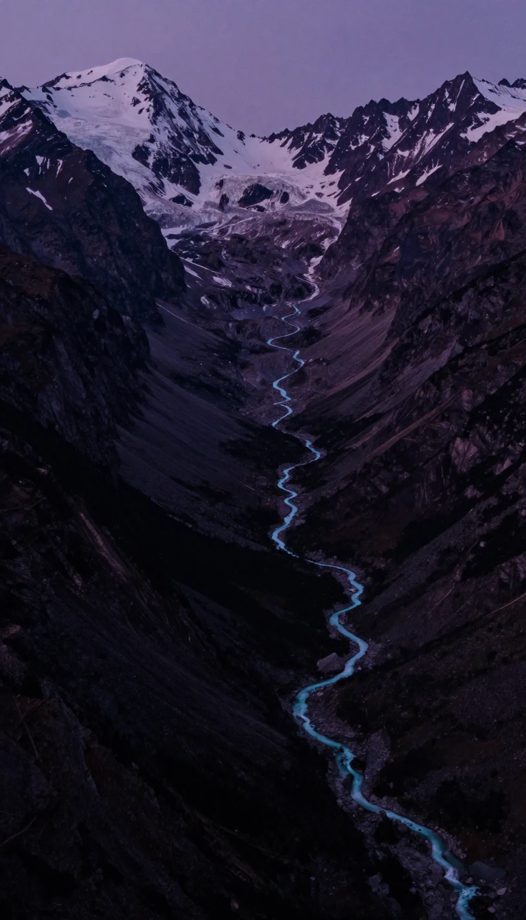 A male-named Himalayan river was mapped as Tibet’s Tsangpo lateThe Brahmaputra runs about 3,000 kilometres from Tibet’s Manasarovar–Kailash region through China, India, and Bangladesh, changing names from Yarlung Tsangpo to Siang/Dihang and f…
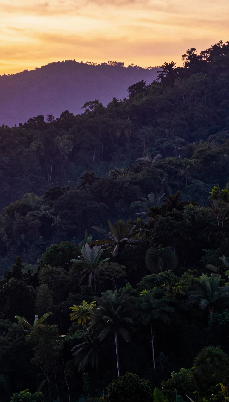 Half of Brazil is a worn plateau that once ran with lavaThe Brazilian Highlands cover about 4.5 million square kilometres—roughly half the country—across eastern, southern, and central Brazil. Ancient basaltic floods built much of the …
- “British Isles” is geography that Ireland’s government rejectsThe British Isles name an Atlantic archipelago of Great Britain, Ireland, Man, the Hebrides, Orkneys, Shetlands and others—yet Dublin refuses the label as politically loaded. Rock…
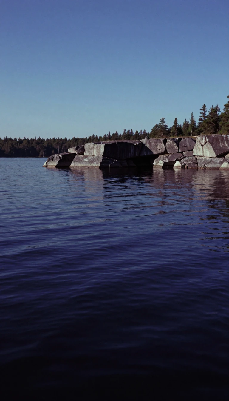 Some of Earth’s oldest rock still floors Canada’s lake countryThe Canadian Shield—also Laurentian Shield or Plateau—exposes Precambrian igneous and high-grade metamorphic rock that cores the North American Craton, Laurentia. Ages from about …
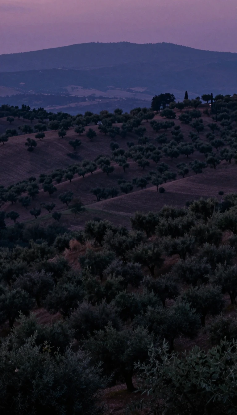 The birds took the islands’ name—not the other way aroundSpain’s Canary Islands lie about 100 kilometres off northwest Africa as the country’s southernmost autonomous community. Seven main islands from Tenerife to El Hierro, plus La Gra…
 Clippers once had to round Chile’s storm gate to reach AsiaCape Horn on Chile’s Hornos Island is Tierra del Fuego’s iconic southern headland—not South America’s absolute tip, which is Águila Islet—yet it remains the seafarer’s great miles…
 Africa’s famous cape is not actually the continent’s tipThe Cape of Good Hope is a rocky Atlantic headland on South Africa’s Cape Peninsula—not the continent’s southernmost point, which is Cape Agulhas about 150 kilometres farther east…
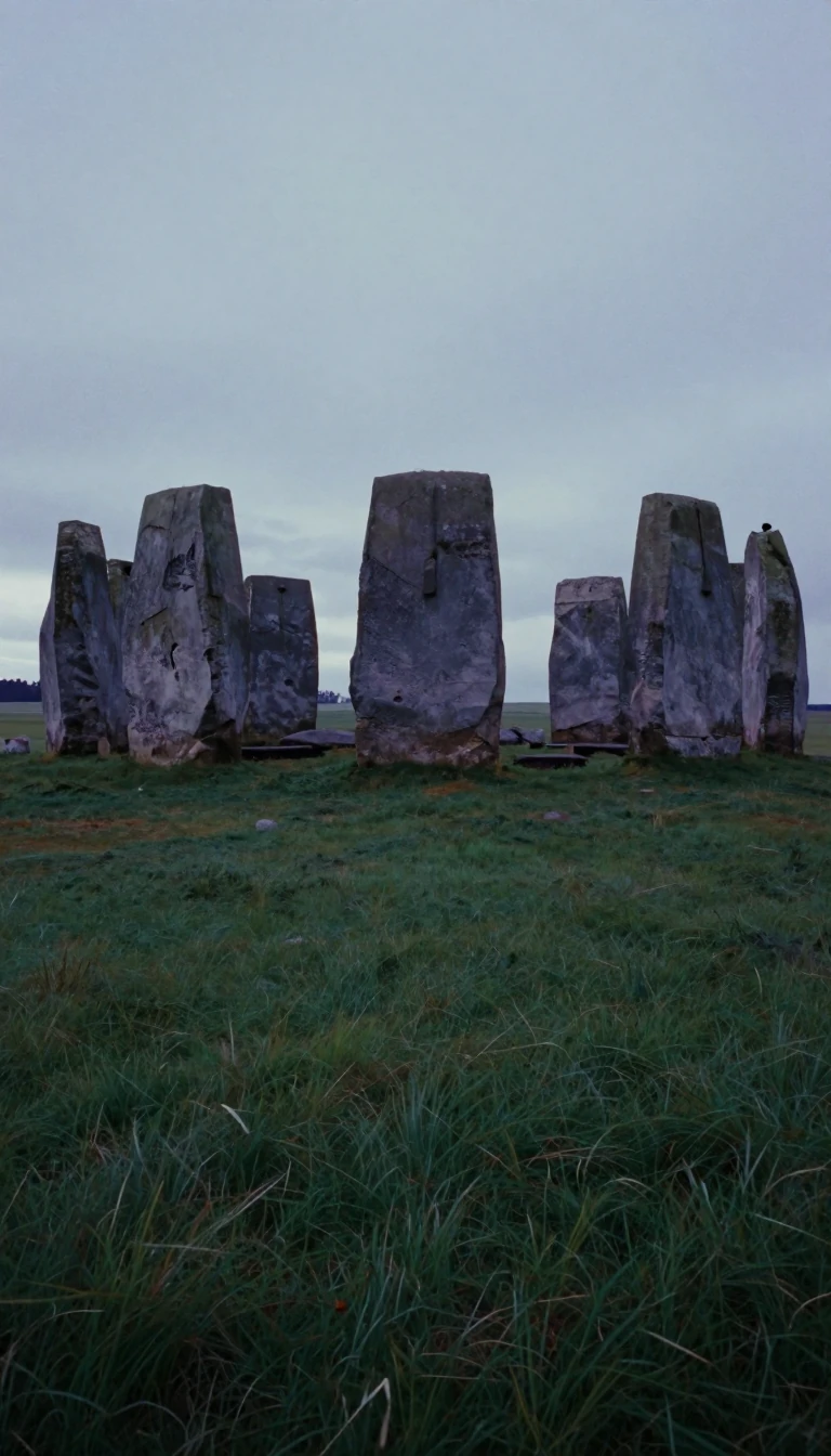 North Africa’s spine was built in three slow collisionsThe Atlas Mountains run about 2,500 kilometres across Morocco, Algeria, and Tunisia, fencing the Sahara from the Mediterranean and Atlantic. Named with Berber mountain words that …
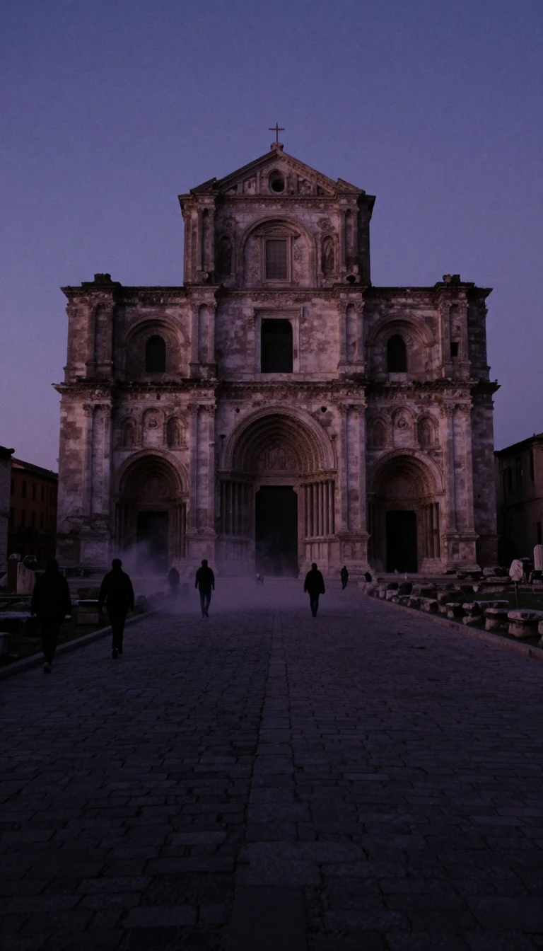 Nine volcanoes sit where three plates collide mid-AtlanticPortugal’s Azores rise about 1,400 kilometres west of the mainland as nine volcanic Macaronesian islands and a Formigas islet cluster. Mount Pico’s 2,351 metres is Portugal’s high…
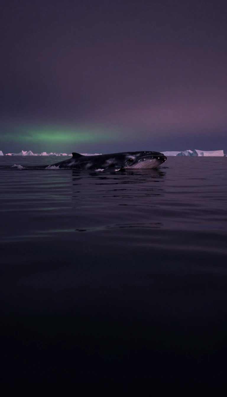 An Arctic polynya keeps whales breathing between ice sheetsBaffin Bay lies between Baffin Island and Greenland as an IHO marginal sea of the Arctic, tied to the Atlantic by Davis Strait and Labrador Sea and to the polar basin by Nares Str…
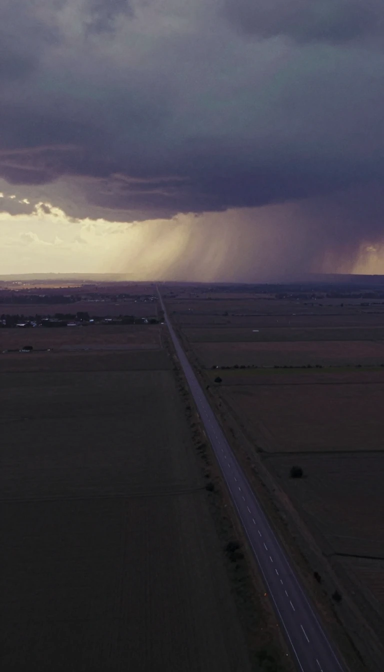 Canada’s biggest island still argues over Viking yarnBaffin Island—Qikiqtaaluk, “very big island”—is Canada’s largest, the Americas’ second after Greenland, and Earth’s fifth, covering about 507,205 square kilometres with only 13,03…
 Europeans mapped California as an island for a centuryMexico’s Baja California peninsula runs 1,247 kilometres from Mexicali to Cabo San Lucas, 40 to 320 kilometres wide, with roughly 3,000 kilometres of shore, about sixty-five islan…
 Slingers gave these Mediterranean islands their classical nameSpain’s Balearic Islands sit in the western Mediterranean as an autonomous community whose capital is Palma de Mallorca. Western Pityuses (Ibiza, Formentera) and eastern Gymnesian…
 Indonesia’s Hindu island sits inside a coral megadiversity triangleBali is Indonesia’s westernmost Lesser Sunda island, a province of Bali plus Nusa Penida and neighbours between Java and Lombok. About 86.4 percent of residents follow Balinese Hi…
 A Venezuelan tepui drop still argues over the height crownAngel Falls, Salto Ángel in Spanish and Körepakupai Vená in Pemon, pours 979 metres off Auyán-tepui in Venezuela's Canaima National Park. No other waterfall drops so far without i…
 Twenty-six million cubic kilometres of ice sit on AntarcticaThe Antarctic ice sheet blankets ninety-eight percent of the continent across 14 million square kilometres, averaging more than two kilometres thick and holding about 26.5 million…
- A 1,300-kilometre finger of ice-covered bedrock islandsThe Antarctic Peninsula, the northernmost reach of mainland Antarctica, juts 1,300 kilometres toward South America and covers 522,000 square kilometres, 80 per cent of it under ic…
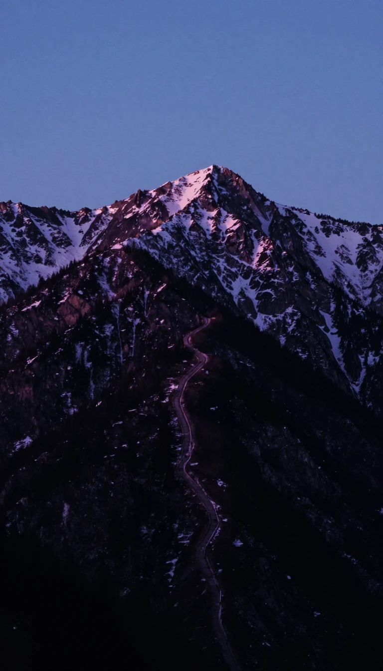 Italy’s spine keeps Europe’s last big predators in green parksThe Apennines run about 1,200 kilometres down peninsular Italy from the Ligurian Alps at Altare to Reggio di Calabria’s toe. Verdant parallel chains still shelter some of Europe’s…
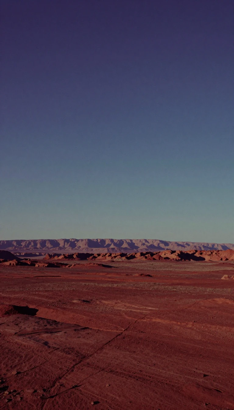 Ancient ridges that steered colonial America’s westward pushThe Appalachians run roughly 2,050 miles from central Alabama to Newfoundland, a southwest–northeast highland whose roots reach Rodinia’s assembly 1.1 billion years ago. Alternati…
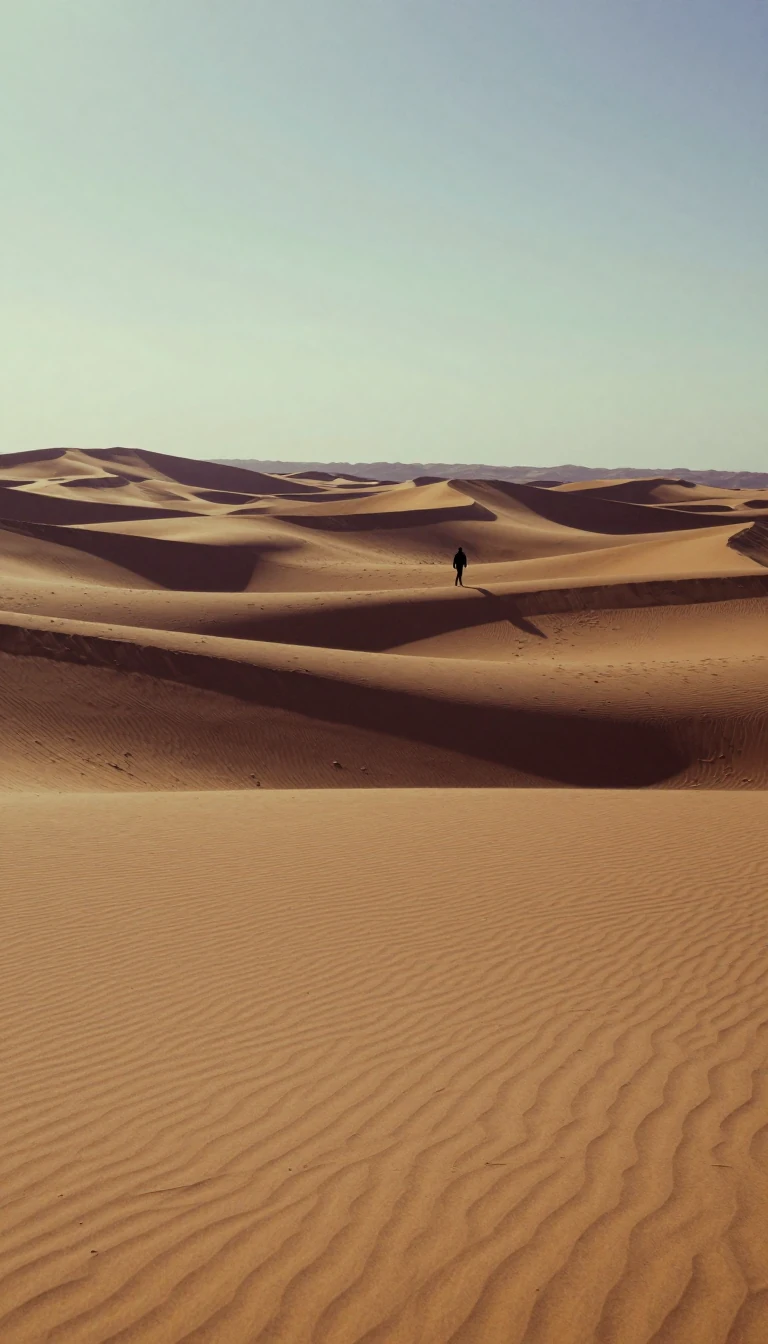 The world’s fourth-largest desert fills nearly all ArabiaThe Arabian Desert covers about 2.33 million square kilometres across almost the whole peninsula—from Yemen to the Gulf and from Oman toward Jordan and Iraq—ranking fourth among E…
 Earth’s largest peninsula is roughly India’s sizeThe Arabian Peninsula spans about 3.24 million square kilometres on the Arabian Plate—world’s largest peninsula, comparable to India—with nine countries sharing its deserts and co…
- Monsoon gates made this sea Old World trade’s hingeThe Arabian Sea occupies the northern Indian Ocean between Arabia, Iran, Pakistan, India, and the Horn approaches. Hormuz and Bab-el-Mandeb have linked east–west trade since third…
 A sea the size of a country shrank to a tenth and dustThe Aral Sea, once Earth’s third-largest lake at 68,000 square kilometres between Kazakhstan and Uzbekistan, began dying in the 1960s when Soviet irrigation stole its rivers. By 2…
- Thirty-six thousand Canadian islands fence the polar oceanCanada's Arctic Archipelago scatters 36,563 islands across about 1,424,500 square kilometres north of the mainland, most of it in Nunavut and the Northwest Territories. After Gree…
- The smallest ocean is also the planet’s shallow cold capThe Arctic Ocean is the smallest, shallowest and coldest of Earth's five oceans, spanning about 14 million square kilometres around the North Pole, nearly the size of Antarctica a…
 The driest non-polar desert is also a fog-fed observatoryChile's Atacama is the driest non-polar desert and the largest fog desert on Earth, a 1,600-kilometre strip wedged between the Andes and the Coast Range. Some weather stations the…
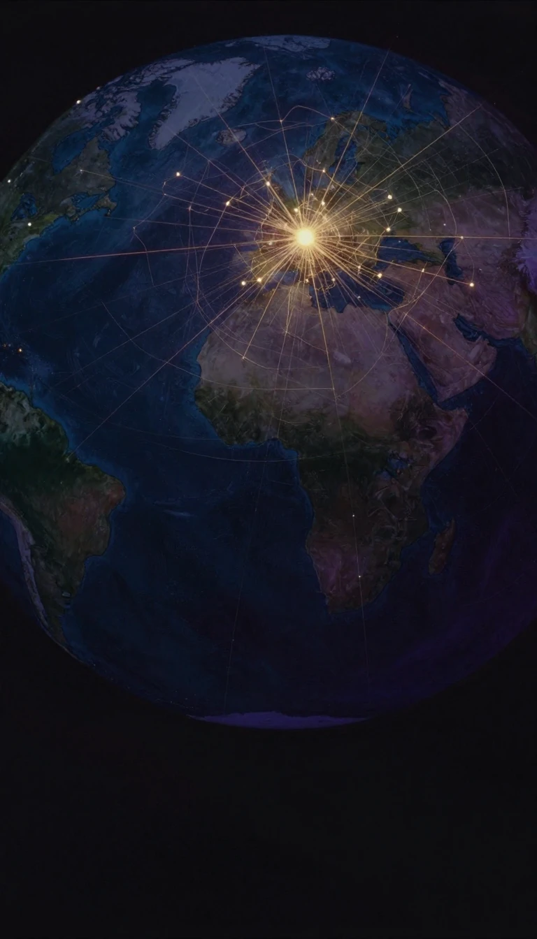 The ocean that split worlds and then braided them againThe Atlantic, second largest of Earth's five oceans, covers about 85 million square kilometres, some 17 per cent of the planet's surface. Its S-shaped basin long divided the Ameri…
 Sahara’s dark granite towers make a green island of rockNorthern Niger’s Aïr Mountains rise more than 1,800 metres across some 84,000 square kilometres of Sahara. Unusual dark peralkaline granites punch through the sand, late-summer ra…
- Aruba, Bonaire, and Curaçao share one Dutch Caribbean storyThe ABC islands—Aruba, Bonaire, and Curaçao—are the westernmost Leeward Antilles, sitting just off Venezuela yet tied to the Netherlands since an 1814 Anglo-Dutch treaty handed th…
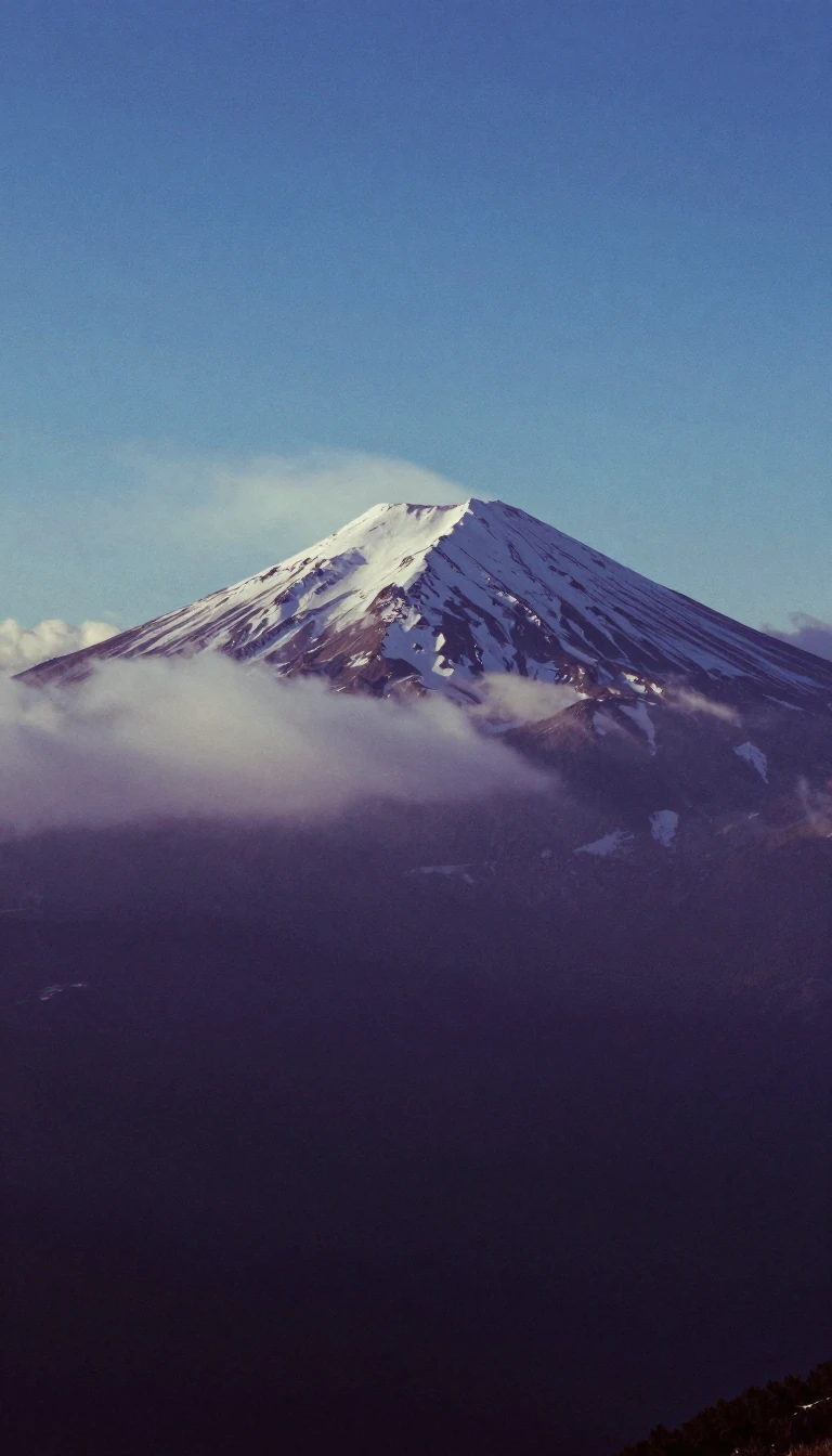 Outside Asia, no mountain tops Argentina’s AconcaguaAconcagua rises 6,967.15 metres in Argentina's Mendoza Province, higher than any mountain outside Asia and the second most prominent peak on Earth. Once an active stratovolcano ab…
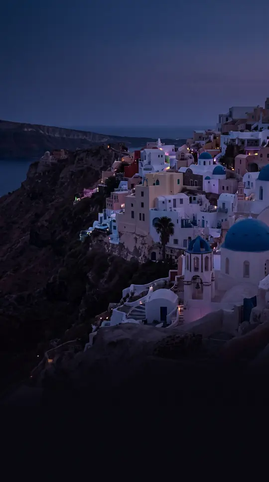 An island-studded sea that ferried Greece into AsiaThe Aegean Sea, a 215,000-square-kilometre Mediterranean embayment between the Balkans and Anatolia, links to the Black Sea via the Dardanelles and Marmara. Its island chains, the…
- Africa's rift lakes shelter more than 1,500 species of cichlid fishStrung along the East African Rift, the African Great Lakes include Victoria, the world's second-largest freshwater lake by area, and Tanganyika, second-largest by volume and dept…
- Fourteen volcanoes stitch Alaska toward KamchatkaThe Aleutians chain fourteen larger volcanic islands and fifty-five smaller ones across some 1,200 miles from the Alaska Peninsula toward Kamchatka, fencing the Bering Sea from th…
- Antarctica’s largest island hid as mainland until 1940Alexander Island, west of the Antarctic Peninsula in the Bellingshausen Sea, is the continent’s biggest island—yet explorers thought it was mainland until a 1940 sledge journey pr…
- A 1,200-kilometre arc born where Africa met EurasiaThe Alps stretch roughly 1,200 kilometres across Monaco, France, Switzerland, Italy, Liechtenstein, Germany, Austria, and Slovenia. Tens of millions of years of African–Eurasian c…
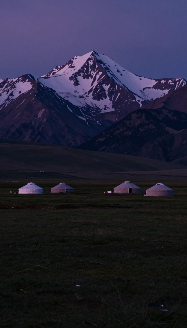 Golden mountains where four nations and two rivers meetThe Altai Mountains rise where Russia, China, Mongolia, and Kazakhstan converge, cradling headwaters of the Irtysh and Ob. Belukha tops the system at 4,506 metres. The name’s Turk…
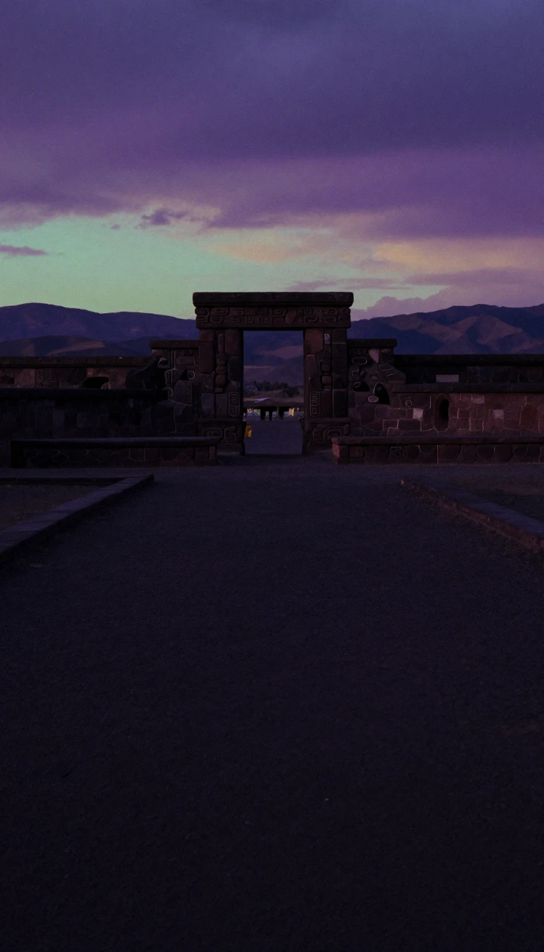 Earth’s widest high plain outside Tibet sits in the AndesThe Altiplano—Quechua and Aymara Qullaw—is west-central South America’s high plain, the most extensive plateau on Earth after Tibet. Averaging about 3,750 metres, it holds Lake Ti…